Thu, May 20 2021 - Hidden Gems of Arabia Mountain! - an adventurous late-morning Hike via seldom-explored Trails (View Original Event Details)
| Trip Leader(s): |  |
Charlie Cottingham
|
| Participants: | | Charlie Cottingham, Bunnie, Claire, Lloyd McCreary, Lindy, Katie B, Mike C |
| 
Click for Album |
Write Up: We had a fine time exploring this beautiful and equally rocky "little sister" of Stone Mountain - just 10 miles south of the more famous giant "monadnock" and geologically about 100 million years older! After parking and gathering at the shady Nature Center at Arabia Mtn National Heritage Area we began by hiking mostly off-trail to the tops of both of the highest granite outcrops in the park - "Bradley Mtn" (at 964' where we had a fine view of nearby Panola Mtn) and "Arabia Mtn" (just 1/3 mile NE of Bradley at 950'). From the 2nd summit we descended eastward into the woods and circled beautiful "Mountain Lake" via its well-marked blue-blazed loop trail. Along the way we took the time to observe and discuss the fascinating native flora & fauna - brilliant golden-yellow blooms of pricky pear cacti, showy white yucca spikes, purple spiderwort, and fast-ripening blackberries. Wild critters were abundant - newly hatched tadpoles, turtles sunning on logs, and lots of beautiful birds. Throughout the hike it was fun to wander through alternate stretches of rocky and wooded terrain. The weather was great - in the low-70s with clear skies and a refreshing breeze.
After our official noontime end of the outing back at the Nature Center I suggested that some of us extend our hiking time a bit. Got a kick out of having Bunnie and her spunky little rescue dog "Baxter" join me for an adventurous westward loop around Arabia Lake and back. During our final bushwhack through some deep woods near the Nature Center we stumbled across an amazing profusion of "Jack-in-the-Pulpits" in full bloom and the overgrown remains of huge stone structures that were built and used by Arabia Mountain's thriving quarrying industry many decades ago.
Special thanks to Mike for sharing almost 50 colorful online photos including his GPS-track map & elevation-profile graph of our hike route on our AOC Members' Facebook Page: https://www.facebook.com/groups/atlantaoutdoorclub
You can likely also access most of the photos by clicking "Click for Album" at the top of this online writeup (which appears for now on the AtlantaOutdoorClub.com home page) or via this direct link to his Facebook album: https://www.facebook.com/photo?fbid=4208987222453708&set=oa.921455398705383
- Submitted by Charlie, Fri May 21, 2021
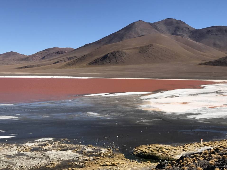
p.s. Here are a couple of Mike's images:

Here's another:

And another:

 Calendar of Events
 Event Places