Sun, Dec 4 2011 - ^^ Summit GA�s Highest Peaks: #10 - Big Bald Mountain (4075�) ^^ (View Original Event Details)
|  |
We arrived at the Rich Mountain Wilderness Area, set up the shuttle vehicle at the end point, and were ready to hit the trail at 10:10 AM. If there was any doubt that we were in a Wilderness Area, this was quickly confirmed by a relatively fresh black bear carcass lying only 20 yards from the trail head (not to mention the 2 deer that leapt in front of our car as we drove to the shuttle point). So we were grateful to have along our two furry four legged hiking companions, Chelsea and Katie, for protection and as early warning indicators for any bears or the hundreds of wild and feral hogs that roam the area. The hike began at Deep Gap on the Stanley Gap Trail. It was a continuous ascent of 1,200 feet over 2.5 miles along a ridge line until we reached the 3,450 foot high summit of Rocky Mountain. We had some great views from Rocky Mountain and spent about 10 minutes admiring the large Big Bald Mountain that was our goal. From this point the next 2.5 miles was a continuous descent - losing all the elevation gain we achieved and making Big Bald look larger and taller as we made our way closer to Stanley Gap.
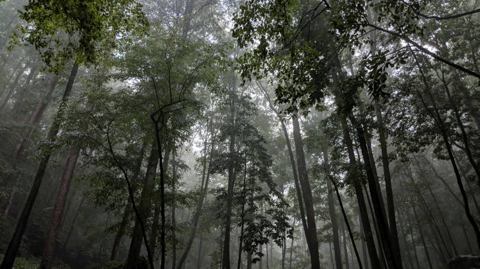
We stopped for lunch at a nice spot on the banks of Stanley Creek to fuel up for the 2,000 foot, ALL-bushwhacking, 3 mile, ascent of Big Bald. The route had been planned and studied to follow the most advantageous contours of the deeply ravined Wilderness Area. Autumn had left the predominately deciduous Wilderness Area with a 4-inch cover of leaves, on soft, steep, wet, rock-scattered ground. Recent rains had also made the leaves wet and slippery. Needless to say, this made what was already going to be a challenging bushwhacking adventure even more difficult. In many of the steep sections, we were confronted with every step of progress being countered by a 3 - 5 inch slide backwards. After a very tough 1,300 foot ascent to Horsepen Gap, we still had another 650 feet of final ascent to the peak, along with a couple of zig zags around the briar patches.
After arriving at what we felt was the highest point on the mountain, we tossed our packs down and appreciated the accomplishment of the very tough, but rewarding, climb to the top. And to add to our pleasure, while milling around the summit we stumbled across the USGS Benchmark identifying our location as the official summit of Big Bald - 4,075 feet above mean sea level. We also discovered that the summit was literally covered with signs of wild boars/feral hogs rooting for vegetation.
With a long, tough, descent remaining to the shuttle vehicle, we began the journey down. While the typical "trail" descent of a mountain is normally pretty easy and unremarkable, this descent would be anything but easy or routine. Although we were traveling a completely different route, the entire three mile long, 2,200 foot descent, would be bushwhacking on the same type of terrain we faced on the ascent.
After a tough descent to Little Creek, we emerged from the forest at 5:10 PM exactly at the location of our destination vehicle. Pleasurably exhausted, and with a great feeling of accomplishment, we contemplated our very tough, 7 hour exploratory hike, with satisfaction. After assembling the other vehicles, we headed for much needed barbeque at the Pink Pig south of Blue Ridge. (So much for the wild boars.)
01.09.2012 Photo Link Update:
(Jimmy's) http://www.facebook.com/media/set/?set=a.151145164995278.28457.100002993868489&type=1&l=da852c2d14
 Calendar of Events
 Event Places