Fri, Nov 16 2007 - King of the Hill - Black Mtn Crest Trail Backpacking Adventure (View Original Event Details)
| Trip Leader(s): |  |
Lee Harris, Kelly Harris
|
| Participants: | | Lee Harris, Albert (Babu) Ensell, Rob Garner, Kelly Harris, Woody, Jon Miner, Denise Millon, Matt Tichenor, Tom Jarosz, Tanya Ensell |
| 
Click for Album |
Write Up:Congradulations to ALL!
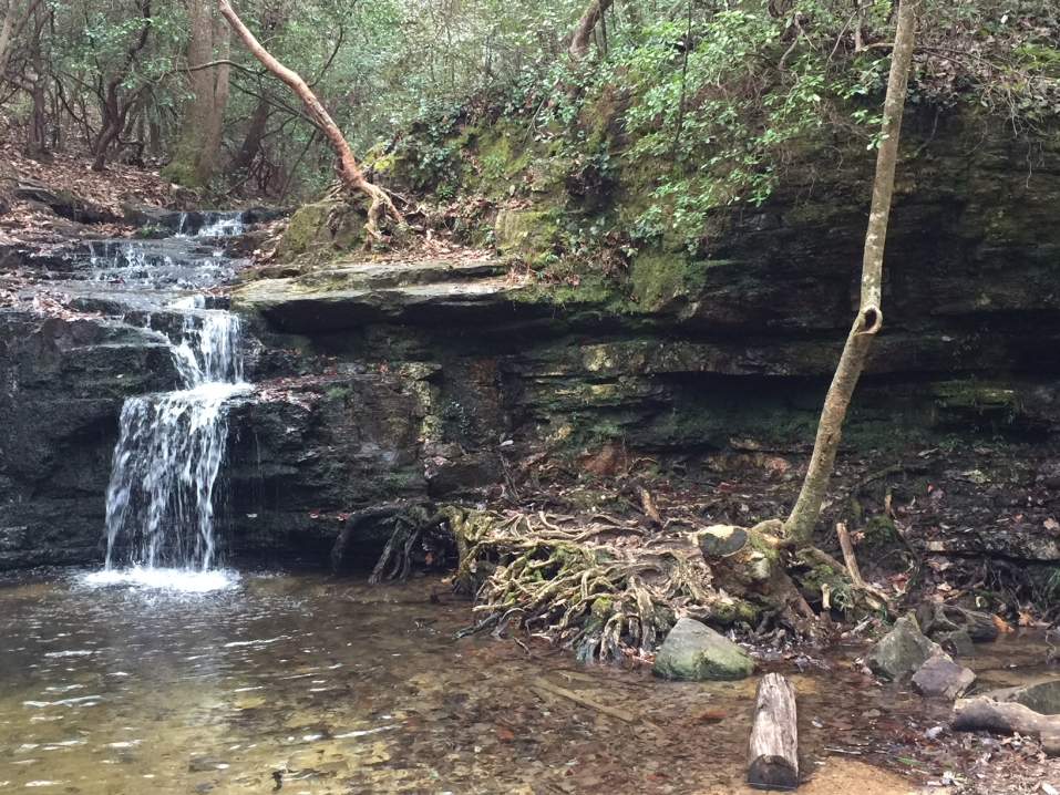
The trip was a great hike and adventure. Our first climb was one of the single largest accents in the Southeast. A single climb of over 3,300'. The Black Crest Mtn Range is home to 5 of the 9 tallest mtns in the Eastern US, 3 of which we crossed. Day 1 started at Bowlens creek at 3,012' and climb steadily to Celo Knob at 6,327'. After the long climb we were now "On Top of the Southeast". From here everywhere you looked was down, except for our path forward. We still had 3 peaks over 300' taller to go. Our adventure took us along the crest of the range, an awesome ridge trail with veiws unrivaled in the southeast. Over Percy Peak, Winter Star Mtn and Gibbs Mtn we went arriving at Deep Gap around 5,700'. After setting up camp we split up into a 2 groups to try and find the water source. Matt, Denise, Kelly and Myself went one direction while Rob, Woody and Jon went another. There was suppsoe to be a sign that marked which way to go but there was none to be found. Using my topo may we bushwacked down the mtn to where we thought we should find the spring. Matt in the lead we stumbled across an old forest service road, not on any of the maps. After a very short walk (75 yards) we came across a spring. Filling our water bottles we then decided on following the road back towards camp before bushwacking back up. The road climbed a little and then did a cut back around where we though camp should be above us. After following the road for about 50 yards more we came to camp. Yes we took the long way but it was much more fun finding the water source by bushwacking to it. After dinner we had a very small fire in a lower area protected by large rocks and the ridge 30' above us. It was windy where the tents were but not to bad here. The temp dropped more to right around freezing and half of went to bed around 7:30. The toher half went at 9.
We woke up the next morning to clouds in camp. They drifted across the range here and then back down the other side. After eating and packing up we head out on the shorter of the hikes but the highest points fo the trip. The trail here was mush steeper up and down with ice present at every turn. The climbs were fun and the trail was anything but boring. We traversed the remaining peaks, Potato Hill, Cattail Peak, Big Tom, Balsam Cone, Mt Craig and finally Mt. Mitchell. Upon reaching the parking lot half of the group bushwacked to the top of Mitchell. The official road was closed since they were redoing it. 5 of us were not to be denied our final accent. Wood, Rob, Matt, Jon and myself headed to the top to stand on the tallest mtn in the East!
***Matt's Pics are included with Mine
Picture links:
Lee's Pics"">
Woody's Pics"">
 Calendar of Events
 Event Places