 Print-Friendly Version Print-Friendly Version
|
|
Backpacking The Southern Natahala National Forest | |||||||
| The Basics: | |||||||
| Event Type: | Backpacking | ||||||
| Event Location: |
Franklin, NC


| ||||||
| Date(s) & Time: | Sat, May 2 2015 8:00 am >> Mon, May 4 2015 5:00 pm (Carpool Departure: 8:00 am *log in for location*) | ||||||
| Registration Opens: | Mon, Apr 27 2015 9:00 pm | ||||||
| Registration Cut Off: | Wed, Apr 29 2015 9:00 pm | ||||||
| Event Duration: | 2 Days 9 Hours | ||||||
| Difficulty Rating: | D5: Difficult (Exploratory) | ||||||
| Distance: | 27 Miles | ||||||
| Pace: | Moderate | ||||||
| Trip Leader(s): | Bob J Email Trip Leader(s) Email Trip Leader(s)
You must be logged in to get the Trip Leader contact information. | ||||||
| Member Cost: | None | ||||||
| Participant Info: | |||||||
| Who's Invited: | Members Only, 21 And Older Only | ||||||
| Maximum Group Size: | 8 | ||||||
| Minimum Group Size: | 1 | ||||||
| Number Registered So Far: | 2 / 0 (To see who's signed up, log in to the Member Area) | ||||||
| Are Dogs Permitted: | Yes | ||||||
|
Note: This is an "EXPLORATORY" trip. This means that there are parts of this trip, or perhaps the whole trip, that is new to your Trip Leader(s). However, they are confident that this will not be an issue. This note is here so that you can make an informed decision. When a Trip Leader isn't personally familiar with a trip, there is an increased chance of things not going as planned and you need to be prepared. The Trip Leader may have additional details in the itinerary. | |||||||
| Itinerary: | |||||||
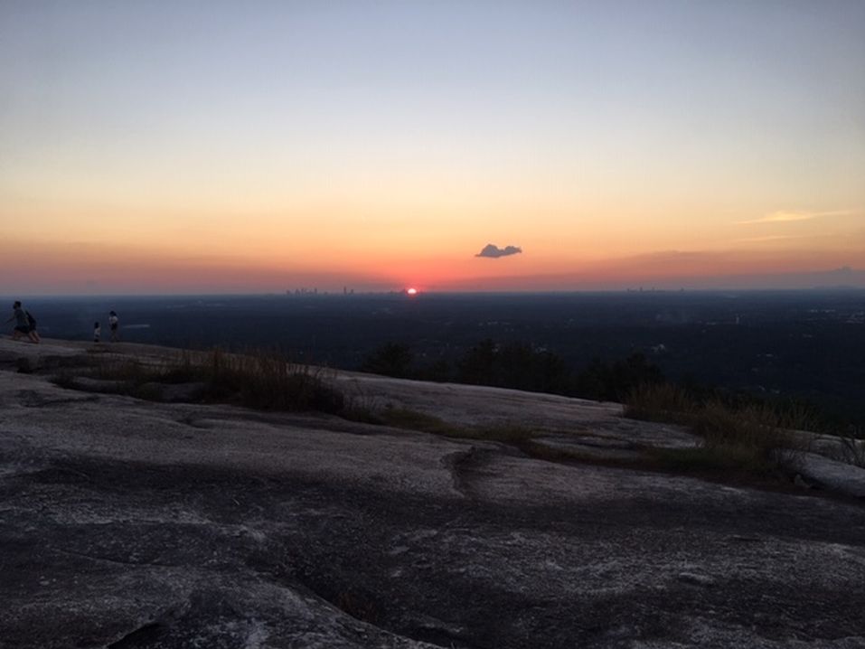
Come join us as we hike 27 total miles along the AT in the Southern Nantahala National Forrest. We will backpack from five to eleven miles daily in the high mountains. We may take some 'extra' side trails for the views and/or to set camp off of the AT at Big Scally Mountain Even though the write up says this is an exploritory event the trip leader has hiked all but about 2 miles at most. � Day one anywhere from 8 to 11 miles: We will start the event at the Standing Indian Backcountry Information Center. We will hike up to the AT from the info center on the Long Branch Trail. We will turn to the South, pass a new AT shelter, and stop at the Albert Mountain fire tower. The tower has 360 degree views. We will stop for a break or eat lunch at the tower. After lunch, we will continue on the AT until we reach Moonie Gap, then continue on to either Betty Creek or most likely Carter Gap for 11.3 mils on the day.�We can take an optional 5.2 mile round trip to Pickens Nose for the views and then set camp closer to Betty Creek Gap. Day two: On day two we will leave either Betty Creek or Carter Gap and hike to Standing Indian mountain or the Standing Indian shelter. Day three, our last day: we will then hike to Deep Gap and take the Kimsey Creek Trail back to the Standing Indian Information Center and head out for dinner or lunch. This will be a five or six mile hike out. We can consider going down Beech Gap Trail to Big Scally Mountain instead of Standing Indian for the night. s | |||||||
| |||||||
| How to Get There: | |||||||
| Event Directions: | Directions will be provided to those who are driving. | ||||||
| Carpool to Event Distance (round trip): | 220Mile(s) | ||||||
| Carpool Departure Time: | 8:00 am | ||||||
| Carpool Location: | Log in for location | ||||||
| Carpool Directions: | Log in for directions | ||||||
| Carpool Cost: | Estimated cost per vehicle for this event is $88.00 using a reimbursement rate guideline of $0.400 per mile. The total amount should be divided by the number of people in the vehicle, including the driver. This is a guideline, not a rule, for drivers but the cost should not be higher unless there are extenuating circumstances. | ||||||
| Notes: | |||||||
|
If you bring a dog be sure to plan to drive or make other arrangements * We encourage all members to follow our Etiquette Guidelines while participating in AOC events. | |||||||
Cancellation/Partial Attendance: Please review the AOC cancellation policy. | |||||||
 Calendar of Events
 Event Places