 Print-Friendly Version Print-Friendly Version
|
|
Weekend Hikes the Entire N C Appalachian Trail Series-Week 5 | |||||||
| The Basics: | |||||||
| Event Type: | Hike | ||||||
| Event Location: |
Wayah Bald to Nantahala River, Nantahala National Forest


| ||||||
| Date(s) & Time: | Sun, Jun 28 2015 6:00 am >> Sun, Jun 28 2015 6:00 pm (Carpool Departure: 6:00 am *log in for location*) | ||||||
| Registration Opens: | Tue, Jun 23 2015 12:30 pm | ||||||
| Registration Cut Off: | Fri, Jun 26 2015 6:00 pm | ||||||
| Event Duration: | 12 Hours | ||||||
| Difficulty Rating: | D6: Advanced (Exploratory) | ||||||
| Distance: | 17.4 Miles | ||||||
| Pace: | Moderate | ||||||
| Trip Leader(s): | Victor Marion  Email Trip Leader(s) Email Trip Leader(s)
You must be logged in to get the Trip Leader contact information. | ||||||
| Member Cost: | None | ||||||
| Participant Info: | |||||||
| Who's Invited: | Members Only, 21 And Older Only | ||||||
| Maximum Group Size: | 12 | ||||||
| Minimum Group Size: | 4 | ||||||
| Number Registered So Far: | 5 / 0 (To see who's signed up, log in to the Member Area) | ||||||
| Are Dogs Permitted: | No | ||||||
|
Note: This is an "EXPLORATORY" trip. This means that there are parts of this trip, or perhaps the whole trip, that is new to your Trip Leader(s). However, they are confident that this will not be an issue. This note is here so that you can make an informed decision. When a Trip Leader isn't personally familiar with a trip, there is an increased chance of things not going as planned and you need to be prepared. The Trip Leader may have additional details in the itinerary. | |||||||
| Itinerary: | |||||||
This is the fifth of series of weekend hikes to complete from GA border Bly Gap to Fontana Dam NC section of AT.
Week 5: Wayah Bald to Nantahala River
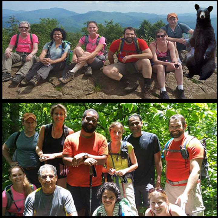
This is arguably the toughest section of what we have done so far in this series. This is also one the most scenic section. We start at elevation of 5300' and hike number of cascating ascent and decent with some beautiful views, so get your camera ready when we pass thru Copper Ridge Bald, Wesser Bald Tower, the jumoff and finally the beautiful Nantahala River. The distance, temperature and cascating climb for the first 12 miles just make it very challenging. It will be a rather grueling hike, but definitely an adventure and well worth the effort. When you are tired and hot, think of this: the last 5.5 miles is all down hill with some small bumps. Please note: This event is car pool only, There will be two groups, one group will carpool on Saturday at 3 PM, stay at Nantahala river area in Bryson city North Carolina and meet the second group at 9 AM on Sunday at Nantahala outdoor center. The second group start 6 AM on Sunday and meet the first group at 9 AM. ( at Nantahala outdoor center). Then we leave one car and shuttle to Wayah Bald, we start our hike at approximatly 10 AM, fast hikers will go ahead and bring the cars back to Nantahala River area when our hike ends. Please indicate if you are going Saturday or Sunday. If there are at least 10 people going on Saturday, Nantahala outdoor center has air conditioned hostle with bunkbeds that we can rent as a group. We can also do tent camping, or stay in hotel/motel, we make this decision after people sign up and show their interest to go Saturday or early Sunday.
Week 1: Deep Gap to Bly Gap and back ~ 14 miles and about 4000' elevation Week 2 :Deep Gap to Betty Creek Gap ~ 12.5 Miles Week 3: Betty Creek Gap to Winding Stair Gap ~ 12.5 Miles Week 4: Winding Stair Gap To Wayah Bald ~ 11 Miles and 3100' elevation Week 5: Wayah Bald To Nantahala River (Wesser) 17.4 miles Week 6: Week 7: Week 8) Mileage breakdown:* Wayah Bald to Burningtown Gap ~ 4.5 Miles * Burningtown Gap to Cold Spring Shelter ~ 1.2 Miles * Cold Spring Shelter to Telico Gap ~ 3.6 Miles * Telico Gap To Wesser Bald Shelter ~ 2.2 Miles * Wesser Bald Shelter To Nantahala River ~ 5.9 Miles Total distance: ~17.4 miles * Total ascent: ~3850 ft. Elevation gain from Wayah Bald to Nantahala River PLEASE NOTE: I LIKE EVERYONE TO STAY TOGETHER IN THIS HIKE. FAST HIKERS ARE WELCOME BUT MUST STAY WITH THE GROUP, SLOW HIKERS MUST BE ABLE TO HIKE 2.5 MILES AN HOUR. THIS HIKE IS DESIGNED FOR MODERATE SPEED HIKERS. | |||||||
| |||||||
| How to Get There: | |||||||
| Event Directions: |
| ||||||
| Carpool to Event Distance (round trip): | 254Mile(s) | ||||||
| Carpool Departure Time: | 6:00 am | ||||||
| Carpool Location: | Log in for location | ||||||
| Carpool Directions: | Log in for directions | ||||||
| Carpool Cost: | Estimated cost per vehicle for this event is $101.60 using a reimbursement rate guideline of $0.400 per mile. The total amount should be divided by the number of people in the vehicle, including the driver. This is a guideline, not a rule, for drivers but the cost should not be higher unless there are extenuating circumstances. | ||||||
| Notes: | |||||||
|
Sunday * We encourage all members to follow our Etiquette Guidelines while participating in AOC events. | |||||||
Cancellation/Partial Attendance: Please review the AOC cancellation policy. | |||||||
 Calendar of Events
 Event Places