 Print-Friendly Version Print-Friendly Version
|
|
MAP & COMPASS HIKE and PICNIC by the HOOCH | |||||||
| The Basics: | |||||||
| Event Type: | Adventure | ||||||
| Event Location: | Chattahoochee River NRA: Special Events building at the Jones Bridge Unit (between Alpharetta & Norcross) | ||||||
| Date(s) & Time: | Sat, Sep 6 2008 9:45 am >> N/A | ||||||
| Registration Opens: | Sun, Aug 17 2008 12:00 am | ||||||
| Registration Cut Off: | Thu, Sep 4 2008 12:00 pm | ||||||
| Event Duration: | 4 hours | ||||||
| Difficulty Rating: | D2: Easy to Moderate | ||||||
| Trip Leader(s): | Tom Collins Paula Schubert Charlie Cottingham  Email Trip Leader(s) Email Trip Leader(s)
You must be logged in to get the Trip Leader contact information. | ||||||
| Member Cost: | None | ||||||
| Participant Info: | |||||||
| Who's Invited: | Members Only, 21 And Older Only | ||||||
| Maximum Group Size: | 35 | ||||||
| Minimum Group Size: | 6 | ||||||
| Number Registered So Far: | 29 / 0 (To see who's signed up, log in to the Member Area) | ||||||
| Are Dogs Permitted: | No | ||||||
| Itinerary: | |||||||
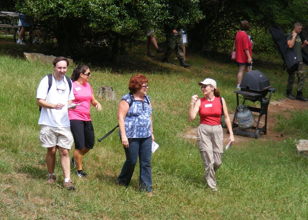
| Interested in improving your map-reading skills in a fun and unusual way? The Georgia
Orienteering Club (GAOC) has invited the Atlanta Outdoor Club to help
them celebrate "National Orienteering Day" on Saturday September 6. We’ll gather at 9:45AM at the Special Events building in
the beautiful "Jones Bridge" section of the Chattahoochee River
Nat’l Recreation Area -- see detailed directions below. Our
easy to moderate AOC "map & compass hikes" led by Charlie, Tom, and Paula will be in conjunction with the GAOC’s annual free O Day Orienteering
Meet and Picnic.
At about 10:00 just before our hikes, we'll conduct a brief refresher for our AOC group in fundamental map and compass skills. We’ll also discuss the basics of the sport of Orienteering . Upon registering for the meet, each participant will be given a free detailed topographic "O map" of the area. Bring your own compass if you have one -- otherwise you’re welcome to use a free "loaner" compass. At about 10:30 we’ll
plan to divide into three AOC "teams" and set out on the "Yellow"
orienteering course (about 3 miles, easy to moderate) during which we’ll
attempt to find about a dozen orienteering control flags in the terrain
near the river. We’ll apply our map and compass skills and jointly
agree upon appropriate "attack strategies" to locate the flags based
on their marked locations on our maps. We’ll take a relaxed
"wayfaring" pace, although many O Meet competitors that day will
be trying for max. speed between controls. FREE O DAY PICNIC! Stick around awhile
after our hike for this big picnic by the Special Events building, with food & refreshments provided by the GAOC
as part of their big O Day celebration. If you have a couple of tasty
items or non-alcoholic beverages on hand that you’d like to bring
and contribute, please do so! WHAT IS ORIENTEERING?
It’s a sport that blends the fun of a scavenger hunt with the adventure
of navigating between flagged checkpoints in unfamiliar natural terrain.
We "orienteer" using a detailed topographic map, a simple magnetic
compass (no GPS!), and our judgment as to which route to take between
checkpoints (partially hidden white & orange flags) whose positions
and surrounding land & water features are shown on the map.
We’re fortunate to have in Atlanta a very active not-for-profit "O"
club. GAOC volunteers prepare highly detailed "O Maps" and
organize year-round O Meets and public education programs at parks and
wilderness preserves throughout north Georgia -- go to www.GAOrienteering.org
for more details. Membership dues are only $8 per year, and the
general public is welcome to participate in their meets (typically about
20 per year). | |||||||
| |||||||
| How to Get There: | |||||||
| Event Directions: | |||||||
| Notes: | |||||||
|
* We encourage all members to follow our Etiquette Guidelines while participating in AOC events. | |||||||
Cancellation/Partial Attendance: Please review the AOC cancellation policy. | |||||||
 Calendar of Events
 Event Places