

 Print-Friendly Version Print-Friendly Version
|
Arkaquah Trail to Brasstown Bald plus Challenging Off-trail Extras | |||||||
| The Basics: | |||||||
| Event Type: | Hike | ||||||
| Event Location: |
Near Young Harris GA


| ||||||
| Date(s) & Time: | Sat, Jan 16 2016 8:00 am >> Sat, Jan 16 2016 8:00 pm (Carpool Departure: 8:00 am *log in for location*) | ||||||
| Registration Opens: | Mon, Jan 4 2016 8:42 pm | ||||||
| Registration Cut Off: | Fri, Jan 15 2016 10:00 pm | ||||||
| Event Duration: | 12 Hours | ||||||
| Difficulty Rating: | D6: Advanced | ||||||
| Distance: | 14 Miles | ||||||
| Pace: | Moderate | ||||||
| Trip Leader(s): | Jared S Email Trip Leader(s) Email Trip Leader(s)
You must be logged in to get the Trip Leader contact information. | ||||||
| Member Cost: | None | ||||||
| Participant Info: | |||||||
| Who's Invited: | Members Only, 21 And Older Only | ||||||
| Maximum Group Size: | 8 | ||||||
| Minimum Group Size: | 2 | ||||||
| Number Registered So Far: | 7 / 0 (To see who's signed up, log in to the Member Area) | ||||||
| Are Dogs Permitted: | Yes | ||||||
| Itinerary: | |||||||
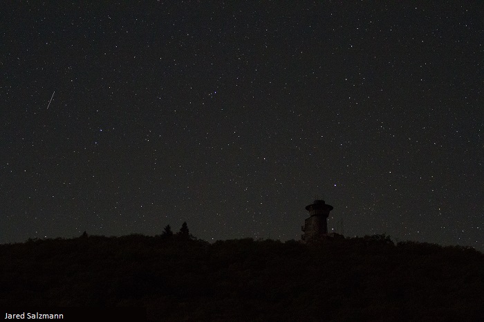
This hike will be the traditional Arkaquah Trail up to Brasstown Bald that the club often hikes. However, there are a couple of high points that I want to get to. Both are off-trail and one is going to be one of the hardest half miles you've ever hiked. Basically, the peak is surrounded by dense rhododendron that makes movement exceptionally slow. I've hiked off-trail in the area and promised myself I wouldn't do it again. There are no views at the top. Why go? Because it's there. The Arkaquah Trail hike to Brasstown consists of 6 miles up and 6 miles down. Total elevation is on the order of 3700 feet with 2000 feet in the first couple miles! If you've never been to Brasstown Bald, I can't say enough about it. I've visited several times this year already. Despite how touristy it can seem when it's crowded at the top, the views are fantastic on a clear day. Along the way while on the Arkaquah, we will do a very short off-trail to a high point. It is only 150 feet climb and 1000 feet of distance and there should be a heard path. This highpoint is called Locust Log Ridge (4108 ft). Once we reach the parking lot just below the Brasstown peak, we will head into the woods to find Little Bald Mountain (4400 ft). The trail to this mountain should be a mile each way with about 500 feet of elevation gain. Only a subset of these two miles will be off-trail. Image below points out Little Bald Mountain as seen from Brasstown Bald.
Depending on how long it takes us on the side trail, as well as the weather, we may skip decide to Brasstown peak. Depending on how things look, maybe we will try to climb Brasstown off-trail from the north side. Assuming we hike to the top of Brasstown Bald, note that is is ALWAYS windy and quite a bit cooler than lower altitudes. They say weather up there is similar to the North East states so a wind breaker is not a bad idea. All in all total mileage will be about 14 miles and total elevation gain will be about 4300 ft.
We may stop for dinner on the way back. Please make your plans known in the morning at the carpool if you need to skip dinner. Because this hike has some off-trail sections, I will reschedule if rain is likely or if the ground is likely to be muddy. Regardless, bring your older clothes that you don't mind getting dirty and hung up on briers. Finally, bring a change of clothes and a bag for old clothes and shoes just in case.
THIS IS NOT A BEGINNER or SLOW AND STEADY HIKE. We will be hiking at a moderate pace due to limited daylight. The Trip Leader reserves the right to remove anyone from the list that he feels cannot handle this trip. | |||||||
| |||||||
| How to Get There: | |||||||
| Event Directions: | Directions to Track Rock Gap (Arkaquah Trailhead): From the Park & Ride we will go north on Georgia 400. Turn left on US Hwy 19 to Dahlonega. After a pit stop at McDonalds coninute on US Hwy 19. Turn right on US Hwy 19. Continue on US Hwy 19 North past Vogel State Park. Take a right on State Road 180 East. Stay on 180 for 2.4 miles, turn left at Town Creek School Rd and after 2 miles turn right on Trackrock Church Rd. Take another right onto Trackrock Gap Rd. The parking lot at the trailhead is on the left. https://goo.gl/maps/yBrWwr4fDY92 | ||||||
| Carpool to Event Distance (round trip): | 160Mile(s) | ||||||
| Carpool Departure Time: | 8:00 am | ||||||
| Carpool Location: | Log in for location | ||||||
| Carpool Directions: | Log in for directions | ||||||
| Carpool Cost: | Estimated cost per vehicle for this event is $64.00 using a reimbursement rate guideline of $0.400 per mile. The total amount should be divided by the number of people in the vehicle, including the driver. This is a guideline, not a rule, for drivers but the cost should not be higher unless there are extenuating circumstances. | ||||||
| Notes: | |||||||
|
* We encourage all members to follow our Etiquette Guidelines while participating in AOC events. | |||||||
Cancellation/Partial Attendance: Please review the AOC cancellation policy. | |||||||