 Print-Friendly Version Print-Friendly Version
|
|
Unicoi Gap to Brasstown Bald (with trail run option) | |||||||
| The Basics: | |||||||
| Event Type: | Hike | ||||||
| Event Location: |
Unicoi Gap Parking Lot, GA Hwy. 75 in Towns County, GA


| ||||||
| Date(s) & Time: | Sat, Feb 20 2016 6:30 am >> Sat, Feb 20 2016 7:00 pm (Carpool Departure: 6:30 am *log in for location*) | ||||||
| Registration Opens: | Fri, Feb 12 2016 12:00 pm | ||||||
| Registration Cut Off: | Fri, Feb 19 2016 4:00 pm | ||||||
| Event Duration: | 12 Hours 30 Minutes | ||||||
| Difficulty Rating: | D6: Advanced | ||||||
| Distance: | 20 Miles | ||||||
| Pace: | Moderate | ||||||
| Trip Leader(s): | Jane Mike Pawloski  Email Trip Leader(s) Email Trip Leader(s)
You must be logged in to get the Trip Leader contact information. | ||||||
| Member Cost: | None | ||||||
| Participant Info: | |||||||
| Who's Invited: | Members Only, 21 And Older Only | ||||||
| Maximum Group Size: | 12 | ||||||
| Minimum Group Size: | 4 | ||||||
| Number Registered So Far: | 10 / 0 (To see who's signed up, log in to the Member Area) | ||||||
| Are Dogs Permitted: | No | ||||||
| Itinerary: | |||||||
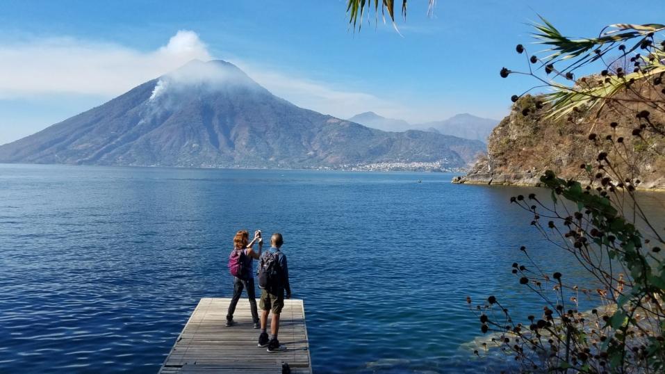
Winter blues keeping you away from the mountains? Then this event is coming to your rescue! Join us for a challenging hike (with an optional slow trail run) of approximately 20 miles from Unicoi Gap to the summit of Brasstown Bald and back.
We begin at Unicoi Gap and hike approx 4.4 miles on the AT (Appalachian Trail) to Chattahoochee Gap. From Chattahoochee Gap we will turn north (right) off the AT and towards the Jacks Knob Trail. This step involves 4.5 miles to the Brasstown Bald parking lot and ~ 2000 feet ascent.
Next step will take us to the Brasstown Bald paved trail .6 miles and 400 feet up to the summit. We will enjoy the great views from the observation platform and will be taking a break to refuel with lunch and drinks. *There is a non-credit option to complete a 2nd summit (BB parking lot to the observation platform and back) if you arrive early enough before the whole group but that may shorten your lunch time. This will give us a chance to use the bandwidth wisely if needed. We are planning on water refill at Brasstown Bald and/or at Chattahoochee Gap. Here is a trivia fact for you: .15 mi/160 feet down from the Gap, there is the spring known as the origin/headwaters of the Chattahoochee River. We'll decide as a group whether or not we will stop for dinner on the way home. *Slow trail run option: Participants will have the option to run some or all of this event. These logistics will be discussed at the parking lot prior to starting. | |||||||
| |||||||
| How to Get There: | |||||||
| Event Directions: | From Indian Trail P&R, take I-85 to I-985 and head north past Gainesville. After about 80 miles (near Baldwin), turn left onto GA-384N (Duncan Bridge Rd SW) and continue until the road meets with GA-75N. Take a right and continue on GA-75N for 12.4 miles (passing through Helen GA). The parking area near the trailhead is on the right-hand side. | ||||||
| Carpool to Event Distance (round trip): | 140Mile(s) | ||||||
| Carpool Departure Time: | 6:30 am | ||||||
| Carpool Location: | Log in for location | ||||||
| Carpool Directions: | Log in for directions | ||||||
| Carpool Cost: | Estimated cost per vehicle for this event is $56.00 using a reimbursement rate guideline of $0.400 per mile. The total amount should be divided by the number of people in the vehicle, including the driver. This is a guideline, not a rule, for drivers but the cost should not be higher unless there are extenuating circumstances. | ||||||
| Notes: | |||||||
|
This event is rain or shine unless extreme weather conditions (severe thunderstorms or such). Here is the elevation profile for the hike. http://www.trimbleoutdoors.com/ViewTrip/927746 * We encourage all members to follow our Etiquette Guidelines while participating in AOC events. | |||||||
Cancellation/Partial Attendance: Please review the AOC cancellation policy. | |||||||
 Calendar of Events
 Event Places