 Print-Friendly Version Print-Friendly Version
|
|
10.7-miles 1/2 of Woody Gap to Neels Gap, Educational Winemakers Tour and Tasting | |||||||
| The Basics: | |||||||
| Event Type: | Hike | ||||||
| Event Location: | Dahlonega, Let's Carpool | ||||||
| Date(s) & Time: | Sat, Nov 22 2008 9:00 am >> N/A (Carpool Departure: 9:15 am *log in for location*) | ||||||
| Registration Opens: | Thu, Oct 23 2008 12:00 am | ||||||
| Registration Cut Off: | Thu, Nov 20 2008 11:55 am | ||||||
| Event Duration: | All Day | ||||||
| Difficulty Rating: | D5: Difficult | ||||||
| Trip Leader(s): | d merat Email Trip Leader(s) Email Trip Leader(s)
You must be logged in to get the Trip Leader contact information. | ||||||
| Member Cost: | $15.00/Person (See Detailed Cost Info Below) | ||||||
| Participant Info: | |||||||
| Who's Invited: | Members Only, 21 And Older Only | ||||||
| Maximum Group Size: | 18 | ||||||
| Minimum Group Size: | 18 | ||||||
| Number Registered So Far: | 13 / 0 (To see who's signed up, log in to the Member Area) | ||||||
| Are Dogs Permitted: | No | ||||||
| Itinerary: | |||||||
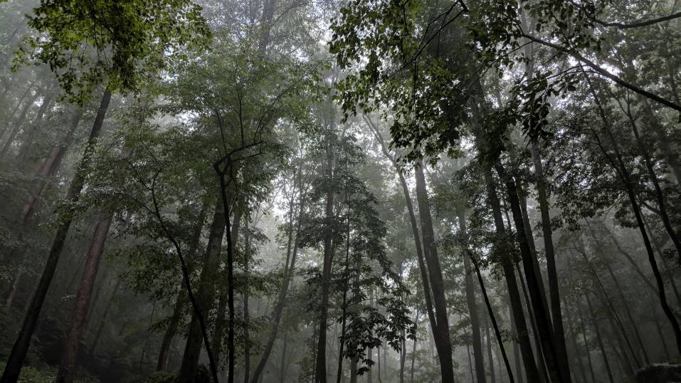
| Caution: My hikes are very fast paced. If you're not sure about this, then please contact me for more details. Thanks. 11 AM :Educational Winemakers Tour and Tasting http://www.wolfmountainvineyards.com/index.htm 1 PM: Woody Gap trail head,Woody Gap checks in at 3,160 feet and Neels Gap is 3,109 feet in elevation. In between the two are some of the most scenic views of the trail, and one the trail's busiest intersections. After ascending Big Cedar, the trail descends into Miller Gap where the Dockery Lake Trail ends. This area has the best view of the Blood Mountain Scenic Area. Baker Mountain rises after Miller Gap. After crossing Baker and a couple of smaller mountains, the path winds into Jarrard Gap, where the Jarrard Gap Trail intersects. The 2 miles to Slaughter Gap are nondescript, but at the next intersection the Slaughter Creek Trail joins the AT. When the Cherokee first began to migrate to Georgia a tremendous battle took place here, hence the name Slaughter Gap. Other geographical names (Blood and Slaughter Mountain) in the area were related to this battle. At this point the Appalachian Trail turns right (watch for a red wooden sign on the right), and traveling almost due east, the trail begins ascending Blood Mountain, the highest point on the trail in Georgia, on a set of rock steps. The steps quickly end but the trail continues as a combination of switched-backs and straight-line ascents. This section of the trail is heavily traveled, with many people on day hikes from Lake Winfield Scott. On the right is a loop with seven campsites, then the Duncan Ridge Trail ends at the AT. As you near the top of Blood Mountain tree height decreases and many trees become gnarled and wind-swept. At the summit of the mountain, after a relatively new toilet on the left, a two room stone cottage that was built by the Civilian Conservation Corps in the 1930's is almost directly on the trail. It is on the National Register of Historic Places. From Blood Mountain the trail makes one of it's steepest descents in Georgia into Neels Gap. About a mile and half down the trail it intersects with the Blood Mountain Spur Trail. From this point it is about a mile to Highway 19/129. | |||||||
| |||||||
| How to Get There: | |||||||
| Event Directions: | From Dahlonega, take Highway 129 to Stonepile Gap. Go straight on Georgia 60. (Highway 129 continues east or left). Follow GA 60 ( 5.5 miles) to Suches. There is a day use parking area on the east side of the road. For access at Neel's Gap, | ||||||
| Carpool to Event Distance (round trip): | 170Mile(s) | ||||||
| Carpool Departure Time: | 9:15 am | ||||||
| Carpool Location: | Log in for location | ||||||
| Carpool Directions: | Log in for directions | ||||||
| Carpool Cost: | Estimated cost per vehicle for this event is $68.00 using a reimbursement rate guideline of $0.400 per mile. The total amount should be divided by the number of people in the vehicle, including the driver. This is a guideline, not a rule, for drivers but the cost should not be higher unless there are extenuating circumstances. | ||||||
| Notes: | |||||||
|
* We encourage all members to follow our Etiquette Guidelines while participating in AOC events. | |||||||
| Cost & Payment: | |||||||
| Member Cost: | $15.00/Person | ||||||
| Non-Member Cost: | $15.00/Person | ||||||
| Cost Includes: | The $15.00 charge is for the Vineyard tour & wine tasting & cheese and will be paid to them and not the AOC. Share gas expense for carpool | ||||||
| Make a Payment: | Although there is a cost for this event, you do not pay through the AOC. Please review the event details carefully for information about how/where to make your payment. | ||||||
Cancellation/Partial Attendance: Please review the AOC cancellation policy. | |||||||
 Calendar of Events
 Event Places