 Print-Friendly Version Print-Friendly Version
|
|
Duncan Ridge Trail, Section 2 - (second half) | |||||||
| The Basics: | |||||||
| Event Type: | Hike | ||||||
| Event Location: | Fannin and Union Counties, GA | ||||||
| Date(s) & Time: | Mon, Dec 8 2008 8:00 am >> N/A (Carpool Departure: 8:00 am *log in for location*) | ||||||
| Registration Opens: | Tue, Dec 2 2008 9:00 pm | ||||||
| Registration Cut Off: | Sun, Dec 7 2008 9:00 pm | ||||||
| Event Duration: | One Day | ||||||
| Difficulty Rating: | D5: Difficult | ||||||
| Trip Leader(s): | Scott Sanders Kevin Crowe  Email Trip Leader(s) Email Trip Leader(s)
You must be logged in to get the Trip Leader contact information. | ||||||
| Member Cost: | None | ||||||
| Participant Info: | |||||||
| Who's Invited: | Members Only, 21 And Older Only | ||||||
| Maximum Group Size: | 8 | ||||||
| Minimum Group Size: | 4 | ||||||
| Number Registered So Far: | 5 / 0 (To see who's signed up, log in to the Member Area) | ||||||
| Are Dogs Permitted: | No | ||||||
| Itinerary: | |||||||
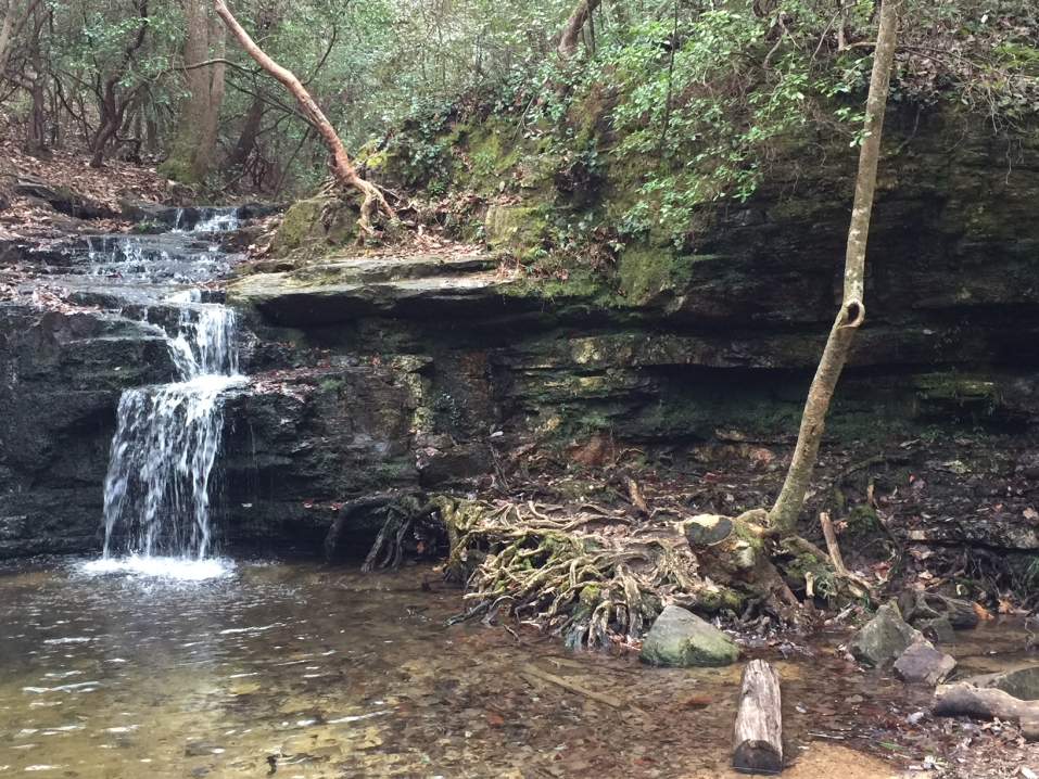
| 11 +/- miles - peak to gap, to peak to gap for 11 miles. Small ascents are 400 feet and the larger climbs are over 1,000 feet.
We'll start at the mid point of section 2 in Mulky Gap on the Forest Service Road #4 and end at the the parking lot for the Byron Herbert Reece Trail near Neels Gap .
This hike is for ADVANCED HIKERS AND is not a beginner hike, and will not be like most of my leisurely paced hikes. I need to have hiked with you and feel comfortable with your speed/endurance/mountain climbing skills, or need a reference from someone I trust who can attest to your level of fitness.
| |||||||
| |||||||
| How to Get There: | |||||||
| Event Directions: | Ga 400 North to north on US 19 near Dahlonega. At Stonepile Gap turn left and follow Ga Hwy 60 for about 17 miles to FS 4 which is right after Cooper Creek. Turn right and follow FS 4 to Mulky Gap at the start of the trail head. We'll set up a car shuttle between the trail head and the take out point at the parking lot at the Herbert Byron Reese Trail near Neels Gap on US 19.
GPS DIRECTIONS: To parking lot at end of trail. 9710 gainesville hwy, Blairsville , ga 30512 is Walasi-Yi Center - just up the hill from the parking lot at the end. | ||||||
| Carpool to Event Distance (round trip): | 200Mile(s) | ||||||
| Carpool Departure Time: | 8:00 am | ||||||
| Carpool Location: | Log in for location | ||||||
| Carpool Directions: | Log in for directions | ||||||
| Carpool Cost: | Estimated cost per vehicle for this event is $80.00 using a reimbursement rate guideline of $0.400 per mile. The total amount should be divided by the number of people in the vehicle, including the driver. This is a guideline, not a rule, for drivers but the cost should not be higher unless there are extenuating circumstances. | ||||||
| Notes: | |||||||
|
This is NOT a beginner hike, and will not be like most of my leisurely paced hikes. I need to have hiked with you and feel comfortable with your speed/endurance/mountain climbing skills, or need a reference from someone I trust who can attest to your level of fitness.
* We encourage all members to follow our Etiquette Guidelines while participating in AOC events. | |||||||
| Cost Includes: | NA | ||||||
Cancellation/Partial Attendance: Please review the AOC cancellation policy. *Note: NA | |||||||
 Calendar of Events
 Event Places