 Print-Friendly Version Print-Friendly Version
|
|
James E. Edmonds Backcountry Trail Hiking | |||||||
| The Basics: | |||||||
| Event Type: | Hike | ||||||
| Event Location: | Black Rock Mountain State Park | ||||||
| Date(s) & Time: | Sun, Jan 25 2009 10:00 am >> N/A (Carpool Departure: 8:30 am *log in for location*) | ||||||
| Registration Opens: | Mon, Jan 5 2009 3:00 pm | ||||||
| Registration Cut Off: | Fri, Jan 23 2009 11:55 pm | ||||||
| Event Duration: | per itinerary | ||||||
| Difficulty Rating: | D5: Difficult | ||||||
| Trip Leader(s): | Phil 'Foz' Parkerson Email Trip Leader(s) Email Trip Leader(s)
You must be logged in to get the Trip Leader contact information. | ||||||
| Member Cost: | None | ||||||
| Participant Info: | |||||||
| Who's Invited: | Members Only, 21 And Older Only | ||||||
| Maximum Group Size: | 15 | ||||||
| Minimum Group Size: | 5 | ||||||
| Number Registered So Far: | 8 / 0 (To see who's signed up, log in to the Member Area) | ||||||
| Are Dogs Permitted: | No | ||||||
| Itinerary: | |||||||
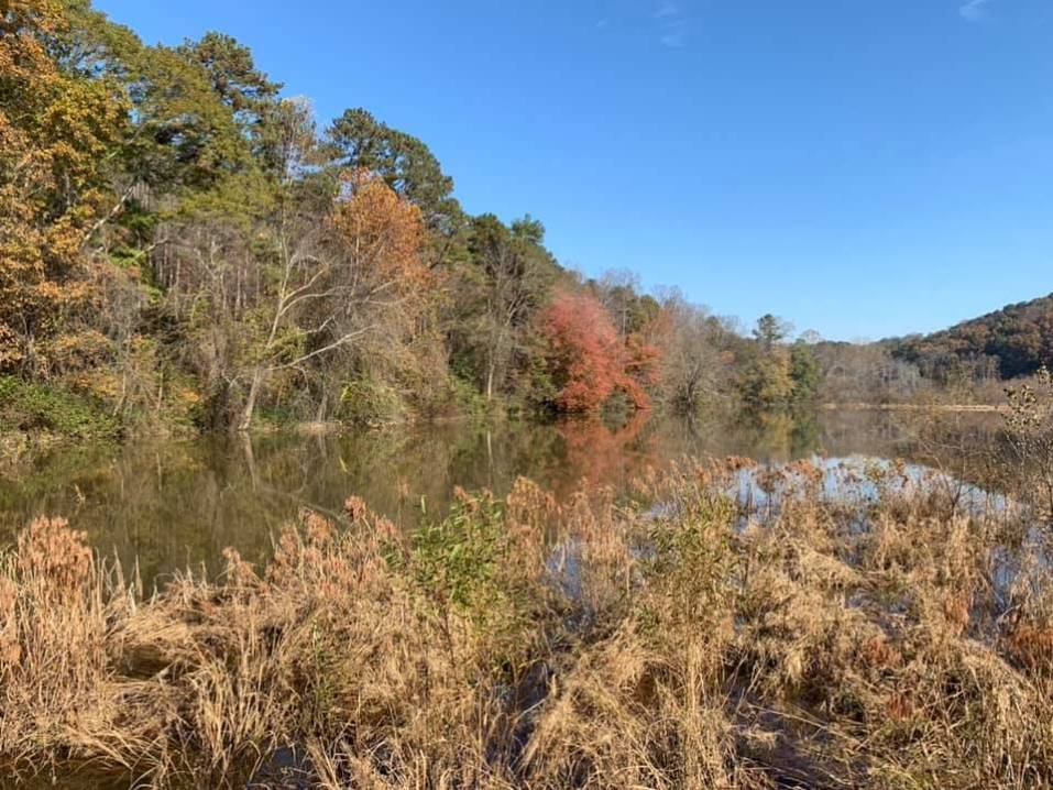
| Strenuous 7.2 Miles Black Rock Mountain is the highest state park in Georgia at an altitude of 3,640 feet. The James E Edmonds Backcountry trail is a 7.2 mile stenuous loop. The trail cuts its way through lush forests, crosses several small streams and passes small waterfalls. We will stop halfway and have lunch on a rock slab atop Lookoff Mountain overlooking the Little Tennessee River Valley some 3,162 feet below. The toughest section of the hike is the return to the trailhead climbing most of the way. This hike is a very good walkout so you should be in excellent shape to participate. | |||||||
| |||||||
| How to Get There: | |||||||
| Event Directions: | Black Rock Mountain State Park, Mountain City, GA 10:00 a.m. - James E Edmonds Backcountry Trailhead I-85 North to I-985 North to Gainesville; merge on 365 North; 365 North becomes 441 North; look for brown park directional signs 3 miles north of Clayton in Mountain City; turn left onto Black Mountain Road; continue up the steep hill into the park, turn right at the stop sign and follow signs to trailhead on right. Travel time: Approx 1 hour 30-50 minutes | ||||||
| Carpool to Event Distance (round trip): | 180Mile(s) | ||||||
| Carpool Departure Time: | 8:30 am | ||||||
| Carpool Location: | Log in for location | ||||||
| Carpool Directions: | Log in for directions | ||||||
| Carpool Cost: | Estimated cost per vehicle for this event is $72.00 using a reimbursement rate guideline of $0.400 per mile. The total amount should be divided by the number of people in the vehicle, including the driver. This is a guideline, not a rule, for drivers but the cost should not be higher unless there are extenuating circumstances. | ||||||
| Notes: | |||||||
|
Are Dogs Permitted? Yes however your animal MUST be in good physical shape. Because of the length and strenuosness of the hike, only large bred dogs please. NO toy dogs. Owner is responsible for care and behavior of the animal. Any uncontrollable animals may be asked to leave the event. Will this event occur rain or shine? No, no hiking in the rain! NOTE: Please be considerate of others. If you sign-up and cannot attend, please e-mail the trip leader, so others that may be on a waiting list may attend. E-mail the trip leader to be put on a waiting list if the trip is at the max number of attendees. * We encourage all members to follow our Etiquette Guidelines while participating in AOC events. | |||||||
| Cost Includes: | $4 parking fee per vehicle | ||||||
Cancellation/Partial Attendance: Please review the AOC cancellation policy. | |||||||
 Calendar of Events
 Event Places