 Print-Friendly Version Print-Friendly Version
|
|
Benton MacKaye and Appalachian Trail | |||||||
| The Basics: | |||||||
| Event Type: | Hike | ||||||
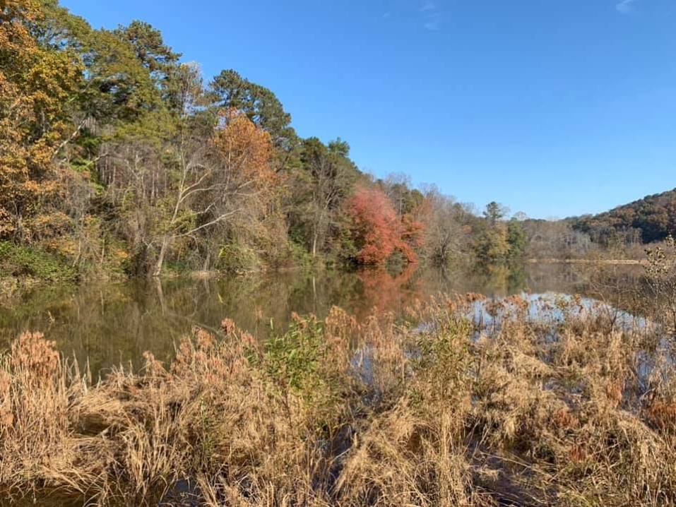
| Event Location: | Springer Mountain (Chattahoochee National Forest) | ||||||
| Date(s) & Time: | Sat, Jan 10 2009 9:30 am >> N/A (Carpool Departure: 7:00 am *log in for location*) | ||||||
| Registration Opens: | Thu, Jan 1 2009 8:00 am | ||||||
| Registration Cut Off: | Thu, Jan 8 2009 9:00 pm | ||||||
| Event Duration: | 1 day | ||||||
| Difficulty Rating: | D3: Moderate | ||||||
| Trip Leader(s): | Don Norton (Chicken Feathers) Email Trip Leader(s) Email Trip Leader(s)
You must be logged in to get the Trip Leader contact information. | ||||||
| Member Cost: | None | ||||||
| Participant Info: | |||||||
| Who's Invited: | Members Only, 21 And Older Only | ||||||
| Maximum Group Size: | 8 | ||||||
| Minimum Group Size: | 3 | ||||||
| Number Registered So Far: | 3 / 0 (To see who's signed up, log in to the Member Area) | ||||||
| Are Dogs Permitted: | No | ||||||
| Itinerary: | |||||||
| Start in Springer parking lot. Hike up to Springer Mountain Trail (the start of the Appalachian Trail)Then Head North back about .2 mile to the BMT Trail Head. Hile about 4 miles on the BMT at the second intersection of the Appalachian trail we will turn left on the A T for about 1/2 mile to the Stover Creek Shelter for lunch. After lunch we continue on the A T 11/2 miles to Three Forks. If everyone wants to we will continue on the A T to view Long Creek Falls. After viewing for a while we will head back to Three Forks back across the bridge to the BMT Trail. At that point we will turn left on the BMTfor 1 mile where it will intersect with the A T we will turn left and back to where our cars. Total for hike about 9 miles. | |||||||
| |||||||
| How to Get There: | |||||||
| Event Directions: | .From Mansell get back on Ga 400 North go about 38 miles and turn left for about 300 yards at stop sign turn right on Auraria Rd. Continue on Auraria Rd it will dead end at Hwy 9 turn left go until it dead ends into Hwy 52. Turn left on Hwy 52 go about 6-7 miles to Nimbelewill Church Road turn right (Nimblewell Church Road is recognized by National Park Signs on left side of road). Continue on Nimblewill Church Road around 4 miles to FS 28-1 it will intersect with FS-77 turn left. Continue on this road to (Winding Stair Gap FS-42) at FS 42 turn left Springer Parking lot will be 4 miles dons on your right. | ||||||
| Carpool to Event Distance (round trip): | 156Mile(s) | ||||||
| Carpool Departure Time: | 7:00 am | ||||||
| Carpool Location: | Log in for location | ||||||
| Carpool Directions: | Log in for directions | ||||||
| Carpool Cost: | Estimated cost per vehicle for this event is $62.40 using a reimbursement rate guideline of $0.400 per mile. The total amount should be divided by the number of people in the vehicle, including the driver. This is a guideline, not a rule, for drivers but the cost should not be higher unless there are extenuating circumstances. | ||||||
| Notes: | |||||||
|
NO ALCOHOL * We encourage all members to follow our Etiquette Guidelines while participating in AOC events. | |||||||
Cancellation/Partial Attendance: Please review the AOC cancellation policy. | |||||||
 Calendar of Events
 Event Places