 Print-Friendly Version Print-Friendly Version
|
|
Savage Gulf Backpacking 3 spots open | |||||||
| The Basics: | |||||||
| Event Type: | Backpacking | ||||||
| Event Location: | Cumberland Plateau TN | ||||||
| Date(s) & Time: | Sat, Feb 21 2009 10:30 am >> N/A (Carpool Departure: 7:00 am *log in for location*) | ||||||
| Registration Opens: | Thu, Feb 5 2009 9:00 pm | ||||||
| Registration Cut Off: | Wed, Feb 18 2009 11:00 pm | ||||||
| Event Duration: | 2 days/1 night | ||||||
| Difficulty Rating: | D5: Difficult | ||||||
| Trip Leader(s): | Trey Baldwin Kelly Harris  Email Trip Leader(s) Email Trip Leader(s)
You must be logged in to get the Trip Leader contact information. | ||||||
| Member Cost: | None | ||||||
| Participant Info: | |||||||
| Who's Invited: | Members Only, 21 And Older Only | ||||||
| Maximum Group Size: | 10 | ||||||
| Minimum Group Size: | 4 | ||||||
| Number Registered So Far: | 6 / 0 (To see who's signed up, log in to the Member Area) | ||||||
| Are Dogs Permitted: | No | ||||||
| Itinerary: | |||||||
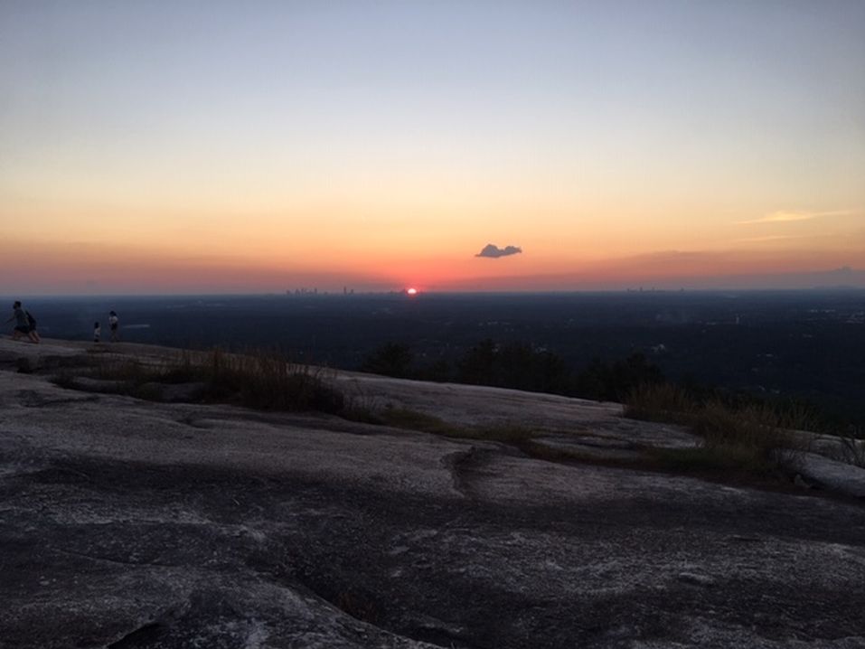
| Savage Gulf is 15,590-acre natural area located in Grundy and Sequatchie Counties. Carved like a giant crowfoot into the western edge of the Cumberland Plateau, it is one of Tennessee's most scenic wilderness areas. Its sheer sandstone cliffs and rugged canyons provide extraordinary views. We will begin on the North Rim loop trail. It has more overlooks of than any other at Savage Gulf. At mile 6.3 we will descend into the gorge via the connector trail, which is the most strenuous and challenging trail in the Savage Gulf Natural area. At mile 9.4 we will veer off to Saw Mill campsite where we will camp for the night. On Sunday we will take the Stagecoach Historic trail out of the gorge for 1.6 miles. We will hike the remaining 5.8 miles on the South Rim trail. | |||||||
| |||||||
| How to Get There: | |||||||
| Event Directions: | I-75 TO EXIT 2 I-24 WEST to Chattanooga to the Monteagle/Sewanee exit (exit 134). Drive into Monteagle and turn onto Hwy 41 (the road isn't marked well, but it's the only major T-intersection in Monteagle). Drive to Tracy City and turn left onto Hwy 56. Follow this road 21 miles to Beersheba Springs. You'll see signs for Savage Gulf before this, but these are for hikes on the gulf's east edge. Continue through Beersheba Springs, but watch for the "Stone Door" sign on your right as you leave town. The turn off leads to the ranger station. I | ||||||
| Carpool to Event Distance (round trip): | 360Mile(s) | ||||||
| Carpool Departure Time: | 7:00 am | ||||||
| Carpool Location: | Log in for location | ||||||
| Carpool Directions: | Log in for directions | ||||||
| Carpool Cost: | Estimated cost per vehicle for this event is $144.00 using a reimbursement rate guideline of $0.400 per mile. The total amount should be divided by the number of people in the vehicle, including the driver. This is a guideline, not a rule, for drivers but the cost should not be higher unless there are extenuating circumstances. | ||||||
| Notes: | |||||||
|
* We encourage all members to follow our Etiquette Guidelines while participating in AOC events. | |||||||
Cancellation/Partial Attendance: Please review the AOC cancellation policy. | |||||||
 Calendar of Events
 Event Places