 Print-Friendly Version Print-Friendly Version
|
|
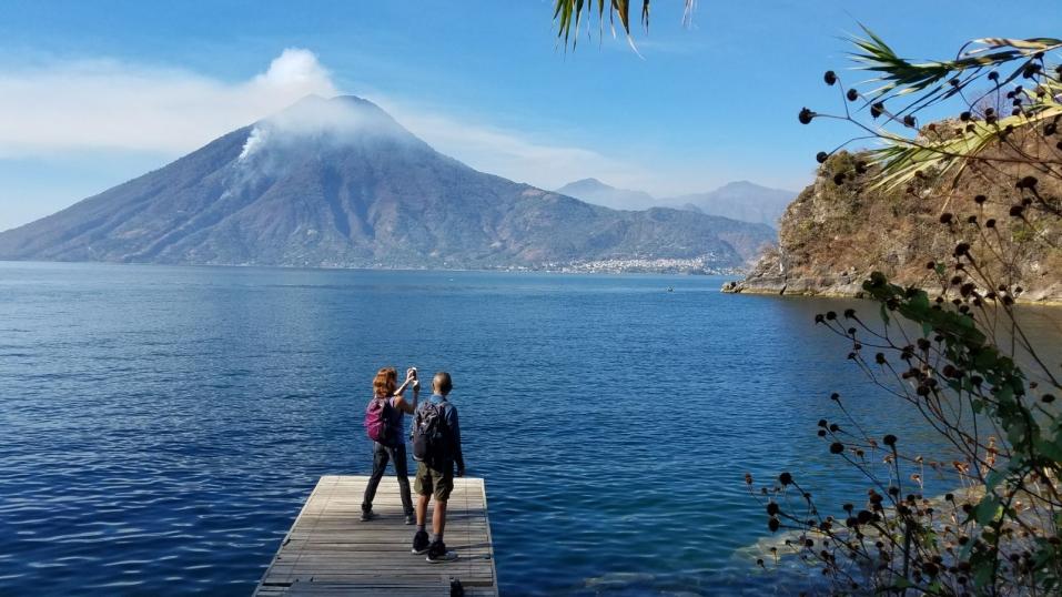
5 incredibly scenic watefalls in SC | |||||||
| The Basics: | |||||||
| Event Type: | Hike | ||||||
| Event Location: | Five waterfalls near community of Long Creek, SC | ||||||
| Date(s) & Time: | Sun, Apr 26 2009 8:00 am >> N/A (Carpool Departure: 8:15 am *log in for location*) | ||||||
| Registration Opens: | Tue, Apr 7 2009 8:00 pm | ||||||
| Registration Cut Off: | Fri, Apr 24 2009 12:00 am | ||||||
| Event Duration: | please expect to spend most of the day Sunday on this gorgeous hike, with drive each way-approx.9hrs | ||||||
| Difficulty Rating: | D3: Moderate | ||||||
| Trip Leader(s): | Rob Byrne Bruce  Email Trip Leader(s) Email Trip Leader(s)
You must be logged in to get the Trip Leader contact information. | ||||||
| Member Cost: | None | ||||||
| Participant Info: | |||||||
| Who's Invited: | Members Only, 21 And Older Only | ||||||
| Maximum Group Size: | 12 | ||||||
| Minimum Group Size: | 8 | ||||||
| Number Registered So Far: | 21 / 0 (To see who's signed up, log in to the Member Area) | ||||||
| Are Dogs Permitted: | No | ||||||
| Itinerary: | |||||||
| I know the trip is full at this point, and while some people will most certainly drop out to add some from the waiting list; this message is too important to leave out for any who make check out the trip description to be added to the waiting list in the future. I am asking people to PLEASE JOIN the one an only shamefully low remaining underpopulated National trails days work, hike event to Our very close and local trail at Kennesaw Mtn. and aid in the maintenance for one day of the trails we use for our relaxation, peace and fun. The work is NEVER overbearing or more than people can handle, and their are always easier tasks to be done as well as harder labors that are always done to level you can tolerate. HELLO!!!! Put down the TV remote or whatever weekend pleasures you pursue on the weekends, for ONE measly day a year and GIVE BACK to mother nature! Firstly, I want to thank a large group of great friends who helped me check these hikes out several weeks ago, and dedicate this one to all of them,including two of my four favorite ladies in AOC I met on this event in June 2006. I was also blessed with a third of the fab four, 'shortbus' (you know who you are) who I met on a frigid hike up to Rabun Bald in February of 2007. From the Indian Trail marta park and ride lot, we will travel north on Highway 85 to exit 1 in South Carolina, just over the Lake Hartwell Bridge; and have a coordination and restroom break at the visitor center there. From there we will travel north on 'scenic' Highway 11 about 10 miles to our left turn onto highway 24 (sharp right turn at T intersection there) to the bustling metropolis of Westminster, SC. At the T intersection in that town, at Hwy.76, we turn left; and travel a short distance (1/2 mile-1 mile)- looking closely for the sharp right turn to follow highway 76 west (to Long Creek). We travel close to 12 miles to our first left turn to Brasstown Creek Falls. This is a short hike to 3 incredibly scenic and quite different waterfalls in a short, root grabbing, 'watch your footing' hike on a narrow (in parts)squirrel path -1/2 mile total, but time consuming, to protect everyones' health and well being. From there we travel a short distance (a little over a mile) to Damascus church road, follow it for 8/10's of a mile to a right turn onto another road, which we follow for several miles to our right turn onto Turkey Ridge road and follow it almost 3 miles to the end for the hike to Long Creek Falls. This waterfall is in secion 4 of the wild and scenic corridor of the Chattooga River and total hiking distance is 3.3 miles with a steep section some 200 yards long at the end of the trail. I've been diligently working out to get my legs back in shape and if they are able and willing and time allowing (enought daylight left); and good lord willing, we will travel about a mile back on Turkey Ridge Road to the last hike on the agenda-Opussum Creek Falls. There are a ton of wildflowers on this trail, towards the bottom of the trail, if we are blessed with them-this is the season for early spring wildflowers! The first two hikes to Brasstown Creek and Long Creek Falls, in the scenic corridor of section 4 of the Chattooga River, are worth the price of admission, without the third hike to Opossum Creek Falls (also in section 4 of the Chattooga River). The first two hikes together are some 4.5 miles and time consumptive for the scenery-and we WILL take proper time enjoy the scenery. If you are a rushy, 'lets get this done as quickly as possible' person, you need not sign up for this event. If time is short (daylight left) and/or my - getting back into shape legs - wont tolerate the extra distance - some extra three plus miles to and from Opposum Creek Falls, There is another nearby option, and much shorter hike, we can drive to and see a 100' waterfall and an abandoned civil war railroad tunnel-just like a cave; so bring a headlamp for that option if we take it.Then, unfortunately, we'll return to the big city for the realities of everyday life in the ATL, to curse wall street, AIG or subjects of your own choosing; or to enjoy any of the good details that consume your time in life. | |||||||
| |||||||
| How to Get There: | |||||||
| Event Directions: | From the Indian Trail marta park and ride lot (on Gwinnett county side of town), exit 101 -third exit north of the I-285 perimeter. Turn left off of the exit, back over I-85 bridge, and turn right into the obvious, large, fenced, ugly expansive Marta parking lot. Bear left inside the entrance. We will meet in the first several rows in the left side. From there we will travel north on Highway I-85 north and follow directions listed above in the trip itinerary, to our hiking destinations. | ||||||
| Carpool to Event Distance (round trip): | 230Mile(s) | ||||||
| Carpool Departure Time: | 8:15 am | ||||||
| Carpool Location: | Log in for location | ||||||
| Carpool Directions: | Log in for directions | ||||||
| Carpool Cost: | Estimated cost per vehicle for this event is $92.00 using a reimbursement rate guideline of $0.400 per mile. The total amount should be divided by the number of people in the vehicle, including the driver. This is a guideline, not a rule, for drivers but the cost should not be higher unless there are extenuating circumstances. | ||||||
| Notes: | |||||||
|
Bring your sense of wonder and a camera for this incredibly scenic, beyond description hike to these waterfalls in South Carolina * We encourage all members to follow our Etiquette Guidelines while participating in AOC events. | |||||||
| Cost Includes: | gas expense only paid to drivers for the trip | ||||||
Cancellation/Partial Attendance: Please review the AOC cancellation policy. *Note: As always, and more importantly on a small limit trip; make sure you remove yourself from the hike as soon as possible if you cant make it for any of the reasons that come up in life-work committments, illness, etc. It is very important that a twelve person event has all slots open for peeps on the waiting list as soon as they can be. | |||||||
 Calendar of Events
 Event Places