 Print-Friendly Version Print-Friendly Version
|
|
Albert Mountain/ Standing Indian Loop | |||||||
| The Basics: | |||||||
| Event Type: | Hike | ||||||
| Event Location: |
Standing Indian Campground


| ||||||
| Date(s) & Time: | Sat, Jul 21 2018 6:30 am >> Sat, Jul 21 2018 9:30 pm (Carpool Departure: 6:30 am *log in for location*) | ||||||
| Registration Opens: | Thu, Jun 21 2018 8:00 pm | ||||||
| Registration Cut Off: | Mon, Jul 16 2018 6:00 am | ||||||
| Event Duration: | 15 Hours | ||||||
| Difficulty Rating: | D6: Advanced | ||||||
| Distance: | 23.3 Miles | ||||||
| Pace: | Fast | ||||||
| Trip Leader(s): | Chuck R Stefan  Email Trip Leader(s) Email Trip Leader(s)
You must be logged in to get the Trip Leader contact information. | ||||||
| Member Cost: | None | ||||||
| Participant Info: | |||||||
| Who's Invited: | Members Only, 21 And Older Only | ||||||
| Maximum Group Size: | 8 | ||||||
| Minimum Group Size: | 3 | ||||||
| Number Registered So Far: | 6 / 0 (To see who's signed up, log in to the Member Area) | ||||||
| Are Dogs Permitted: | No | ||||||
| Itinerary: | |||||||
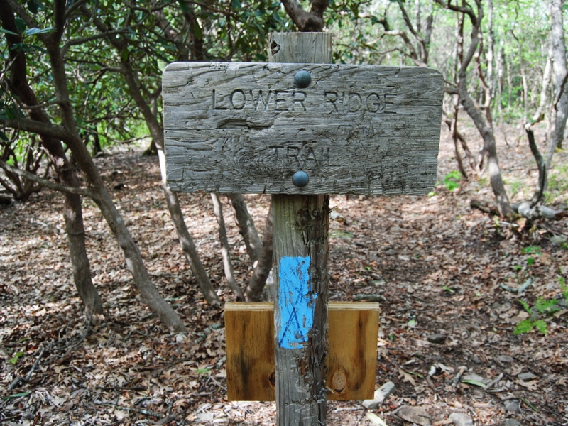
This is a clockwise hike. Starting at The Standing Indian Campground Backcountry Kiosk,(3,950) we will take the Long Branch Trail (east-blue blaze) and intersect with the Appalachian Trail.(Glassmine Gap 4,000) We will turn (right) southeast on the A/T to Albert Mountain (5,249) for our first break. After the break we'll proceed to Carter Gap (3,750) at around the half way point of our hike for lunch. After lunch break we start northwest to Standing Indian Mountain.(5,500 ft) After the view we change trails and go north on The Lower Ridge Trail for a sharp descent of around 1,700 ft in 3.75 miles back to the cars. In summary, this is a good loop trail - including 15 miles of The A/T, 2 major summits with spectacular views! It really does not involve any major climbs! - but lt is long distance.The mountain travel is moderate for a D-6 around 5,100 ft elevation gain. I will request A.O.C. experienced D-5 & D-6 hikes with over several 15 mile North Georgia Mountain hikes within 6 months of time....The Trip leader does reserve the right to move you back to the waiting list if needed. We will stop at the U- Joint sports bar for a quick bite in Clayton Ga. Please no audible music on Trail also no tree climbing! Dinner is included on returning time to the park & ride. | |||||||
| |||||||
| How to Get There: | |||||||
| Event Directions: | Take I-85 N 10.8 miles to I-985 N Follow I-985 23.7 miles to GA-365 N / US-23 N After 28.9 miles take a slight left and continue to follow US-23 N
/ US-441 N toward Clayton After 43.7 miles turn left onto US-64 W After 11.9 miles turn left onto State Rd 1448 / Allison Creek Rd /
W Old Murphy Rd After 1.9 Miles turn right onto National Forrest Service Rd Standing Indian Campground will be 1.6 Miles in on your
right GPS Cordinates 35.076616 , -83.528391 | ||||||
| Carpool to Event Distance (round trip): | 250Mile(s) | ||||||
| Carpool Departure Time: | 6:30 am | ||||||
| Carpool Location: | Log in for location | ||||||
| Carpool Directions: | Log in for directions | ||||||
| Carpool Cost: | Estimated cost per vehicle for this event is $100.00 using a reimbursement rate guideline of $0.400 per mile. The total amount should be divided by the number of people in the vehicle, including the driver. This is a guideline, not a rule, for drivers but the cost should not be higher unless there are extenuating circumstances. | ||||||
| Notes: | |||||||
|
Will hike rain or shine!
Drivers needed.
Let nature be the sounds.🙏 * We encourage all members to follow our Etiquette Guidelines while participating in AOC events. | |||||||
Cancellation/Partial Attendance: Please review the AOC cancellation policy. | |||||||
 Calendar of Events
 Event Places