

 Print-Friendly Version Print-Friendly Version
|
Neels Gap to Hogpen Gap and back | |||||||
| The Basics: | |||||||
| Event Type: | Hike | ||||||
| Event Location: |
Between Dahlonega and Blairsville, Georgia


| ||||||
| Date(s) & Time: | Sat, Sep 14 2019 6:30 am >> Sat, Sep 14 2019 6:30 pm (Carpool Departure: 6:30 am *log in for location*) | ||||||
| Registration Opens: | Thu, Aug 15 2019 8:00 pm | ||||||
| Registration Cut Off: | Tue, Sep 10 2019 7:00 am | ||||||
| Event Duration: | 12 Hours | ||||||
| Difficulty Rating: | D6: Advanced | ||||||
| Distance: | 16 Miles | ||||||
| Pace: | Moderate | ||||||
| Trip Leader(s): | Chuck R Email Trip Leader(s) Email Trip Leader(s)
You must be logged in to get the Trip Leader contact information. | ||||||
| Member Cost: | None | ||||||
| Participant Info: | |||||||
| Who's Invited: | Members Only, 21 And Older Only | ||||||
| Maximum Group Size: | 12 | ||||||
| Minimum Group Size: | 2 | ||||||
| Number Registered So Far: | 9 / 0 (To see who's signed up, log in to the Member Area) | ||||||
| Are Dogs Permitted: | Yes | ||||||
| Itinerary: | |||||||
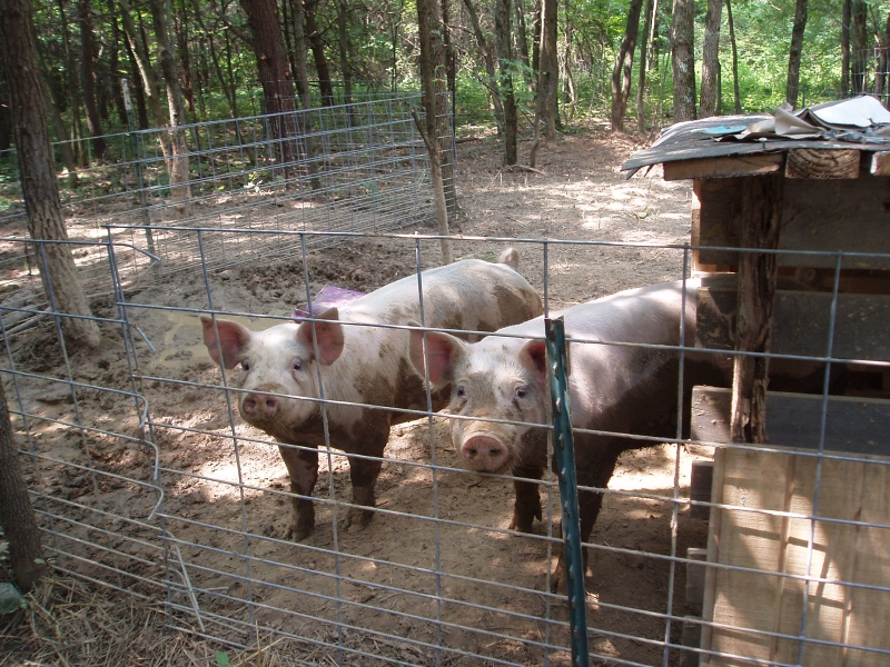
We will park at The Byron Reese Memorial parking ( the lot fills up fast). We will walk .6 mile on Georgia Route 19 to Neels Gap (bathrooms). This is where the hike begins heading east on The Appalachian Trail into The Raven Cliffs Wilderness. Within a short distance the trail will cross over a steep climb (800 ft Travel gain) into Levelland Mountain (3,848). The trail will soon descend into Swaim Gap carrying us into Buzzard Rock Ridge (3,574). Still heading East we will follow the Ridge a short distance and then summit Wolf Laurel Top ( 3,786). There is a short spur trail south to view, after the stop it's off to Cowrock (3,852) for lunch. After lunch we descend into Tesnatee Gap and turn south to Whitley Gap Trail. I will be looking for Wildcat Mountain (3,760) to the west for a view. Once viewed we then turn back to the A/T head East To Hogpen Gap. Once at Hogpen Gap we slop the pigs and turnaround on the A/T and retrace our tracks back to the cars! Mountain Travel is approximately 4,400 ft. This is a Mountain hike if you have not completed recently several D-5 & D-6 over 10 mile hikes with the A.O.C. In the North Ga Mountains you probably should not sign up. I will use my discretion in judging your ability to hike this event. The leader does reserve the right to remove anyone if warranted. | |||||||
| |||||||
| How to Get There: | |||||||
| Event Directions: | We will meet in the Byron Reece Memorial parking area. This parking lot is located on US-19, about 0.5 miles north of Neels Gap, on the left side of the road. Coordinates: 34.7418, -83.9226 Link to directions starting from Mansell Park & Ride: http://goo.gl/nrjhYC | ||||||
| Carpool to Event Distance (round trip): | 135Mile(s) | ||||||
| Carpool Departure Time: | 6:30 am | ||||||
| Carpool Location: | Log in for location | ||||||
| Carpool Directions: | Log in for directions | ||||||
| Carpool Cost: | Estimated cost per vehicle for this event is $54.00 using a reimbursement rate guideline of $0.400 per mile. The total amount should be divided by the number of people in the vehicle, including the driver. This is a guideline, not a rule, for drivers but the cost should not be higher unless there are extenuating circumstances. | ||||||
| Notes: | |||||||
|
Will hike in rain if conditions are favorable. Let nature be the sounds.🙏 * We encourage all members to follow our Etiquette Guidelines while participating in AOC events. | |||||||
Cancellation/Partial Attendance: Please review the AOC cancellation policy. | |||||||