 Print-Friendly Version Print-Friendly Version
|
|
Rock Gap to Albert Mountain, NC | |||||||
| The Basics: | |||||||
| Event Type: | Hike | ||||||
| Event Location: |
North Carolina near Franklin


| ||||||
| Date(s) & Time: | Sat, Aug 31 2019 8:00 am >> Sat, Aug 31 2019 8:00 pm (Carpool Departure: 8:00 am *log in for location*) | ||||||
| Registration Opens: | Tue, Aug 27 2019 9:00 pm | ||||||
| Registration Cut Off: | Fri, Aug 30 2019 9:00 pm | ||||||
| Event Duration: | 12 Hours | ||||||
| Difficulty Rating: | D5: Difficult (Exploratory) | ||||||
| Distance: | 12 Miles | ||||||
| Pace: | Moderate | ||||||
| Trip Leader(s): | Kristi Dorothea  Email Trip Leader(s) Email Trip Leader(s)
You must be logged in to get the Trip Leader contact information. | ||||||
| Member Cost: | None | ||||||
| Participant Info: | |||||||
| Who's Invited: | Members Only, 21 And Older Only | ||||||
| Maximum Group Size: | 12 | ||||||
| Minimum Group Size: | 4 | ||||||
| Number Registered So Far: | 11 / 0 (To see who's signed up, log in to the Member Area) | ||||||
| Are Dogs Permitted: | Yes | ||||||
|
Note: This is an "EXPLORATORY" trip. This means that there are parts of this trip, or perhaps the whole trip, that is new to your Trip Leader(s). However, they are confident that this will not be an issue. This note is here so that you can make an informed decision. When a Trip Leader isn't personally familiar with a trip, there is an increased chance of things not going as planned and you need to be prepared. The Trip Leader may have additional details in the itinerary. | |||||||
| Itinerary: | |||||||
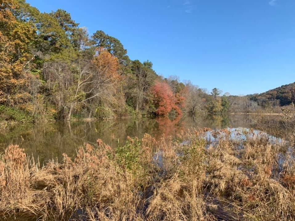
From Rock Gap, we'll hike about 6 miles on the Appalachian Trail south to Albert Mountain. Atop the mountain is a fantastic fire tower. Hopefully it will be unlocked for us to access for an incredible 360 degree view; it was open back in 2012 when I was last here. The views from below the tower are great too. We will take our time at the top for taking in the views and lunch; at least an hour. Then we'll hike the 6 miles back to the cars. Times are estimates for getting back to ATL; I would not plan on making any evening plans in ATL if you're going on this hike. Pace is about 2 1/2 - 3mph; not racing, not loitering either. That said, I will stop to look at interesting things. Total hiking distance - about 12 miles. Elevation gain - about 2000 feet. https://en.wikipedia.org/wiki/Albert_Mountain_(North_Carolina) A possible post hike dinner stop in Franklin or Clayton, TBD. | |||||||
| |||||||
| How to Get There: | |||||||
| Event Directions: | Indian Trail park 'n ride to Clayton, GA. Franklin, NC. Then highway 64 west. From Indian Trail Park and Ride, go north on I-85 Merge in to left lanes and continue on I-985 I-985 will turn into US-23 N/US-441 N/GA-15; remain on this road to Franklin, NC As you come towards Franklin, NC, go West on US 64 From Franklin, take US 64W for about 12 miles, turn left on S.R.1448 (West Old Murphy Road, old US 64). There will be a brown sign before you get to the intersection that indicates the left turn to Wallace Gap/Standing Indian Campground. Continue on S.R. 1448 to Wallace Gap (about 1.9 miles) and turn right, following the sign to Standing Indian Campground. You will see a paved parking area on the left. This is Rock Gap. We will meet in the parking area at rock Gap. (If you get the the Standing Indian Campground or Backcountry Information Center, you have gone too far). | ||||||
| Carpool to Event Distance (round trip): | 248Mile(s) | ||||||
| Carpool Departure Time: | 8:00 am | ||||||
| Carpool Location: | Log in for location | ||||||
| Carpool Directions: | Log in for directions | ||||||
| Carpool Cost: | Estimated cost per vehicle for this event is $99.20 using a reimbursement rate guideline of $0.400 per mile. The total amount should be divided by the number of people in the vehicle, including the driver. This is a guideline, not a rule, for drivers but the cost should not be higher unless there are extenuating circumstances. | ||||||
| Notes: | |||||||
|
* We encourage all members to follow our Etiquette Guidelines while participating in AOC events. | |||||||
Cancellation/Partial Attendance: Please review the AOC cancellation policy. *Note: This event will be cancelled in the event of severe weather. | |||||||
 Calendar of Events
 Event Places