 Print-Friendly Version Print-Friendly Version
|
|
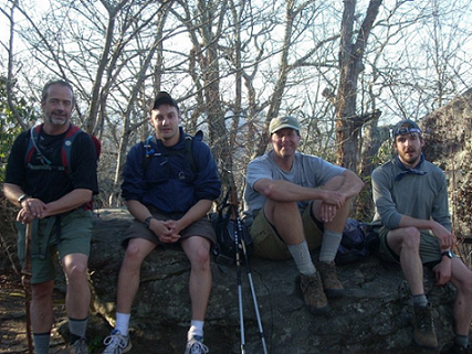
Duncan Ridge Trail, Section 2 | |||||||
| The Basics: | |||||||
| Event Type: | Hike | ||||||
| Event Location: | Fannin and Union Counties, GA | ||||||
| Date(s) & Time: | Sat, Apr 10 2010 6:00 am >> N/A (Carpool Departure: 6:00 am *log in for location*) | ||||||
| Registration Opens: | Thu, Mar 25 2010 4:00 pm | ||||||
| Registration Cut Off: | Mon, Apr 5 2010 9:00 pm | ||||||
| Event Duration: | One Day | ||||||
| Difficulty Rating: | D5: Difficult | ||||||
| Trip Leader(s): | Danny Email Trip Leader(s) Email Trip Leader(s)
You must be logged in to get the Trip Leader contact information. | ||||||
| Member Cost: | None | ||||||
| Participant Info: | |||||||
| Who's Invited: | Members Only, 21 And Older Only | ||||||
| Maximum Group Size: | 5 | ||||||
| Minimum Group Size: | 2 | ||||||
| Number Registered So Far: | 4 / 0 (To see who's signed up, log in to the Member Area) | ||||||
| Are Dogs Permitted: | No | ||||||
| Itinerary: | |||||||
| 23.4 +/- miles - peak to gap, to peak to gap for the entire 23.4 miles. Small ascents are 400 feet and the larger climbs are over 1,000 feet. The first climb is 2,400 feet. We'll start at Ga 60 and end at the the parking lot for the Byron Herbert Reece Trail near Neels Gap . There is approximately 14,000 feet of ascending elevation on this course. There is approximately 12,000 feet of descending elevation on the course. This hike is for ADVANCED HIKERS and is not a beginner hike. I need to have hiked with you and feel comfortable with your speed/endurance/mountain climbing skills, or need a reference from someone I trust who can attest to your level of fitness. This will be a long day. You will most likely need headlamps for the last few miles. WARNING: ROAD SICKNESS ALERT - The drive to the trailhead is one of the most winding roads in N Ga, Hwy's 60, 180, and 119. Many people get car sick on these roads before they even get to the trailhead. There is currently NO D6 rating for hikes, but this hike should be classified as one. The starting point for a D5 hike is 15 miles and elevation. This one is 23 miles and over 14,000 of climbing elevation. | |||||||
| |||||||
| How to Get There: | |||||||
| Event Directions: | To Start of trail. Ga 400 North to north on US 19 near Dahlonega. At Stonepile Gap turn left and follow Ga Hwy 60 for about 20 miles and park on the side of the road in the small paved spaces
GPS DIRECTIONS: To parking lot at end of trail. 9710 gainesville hwy, Blairsville , ga 30512 is Walasi-Yi Center - just up the hill from the parking lot at the end. | ||||||
| Carpool to Event Distance (round trip): | 200Mile(s) | ||||||
| Carpool Departure Time: | 6:00 am | ||||||
| Carpool Location: | Log in for location | ||||||
| Carpool Directions: | Log in for directions | ||||||
| Carpool Cost: | Estimated cost per vehicle for this event is $80.00 using a reimbursement rate guideline of $0.400 per mile. The total amount should be divided by the number of people in the vehicle, including the driver. This is a guideline, not a rule, for drivers but the cost should not be higher unless there are extenuating circumstances. | ||||||
| Notes: | |||||||
|
This is NOT a beginner hike, and will not be like many of my leisurely paced hikes. I need to have hiked with you and feel comfortable with your speed/endurance/mountain climbing skills, or need a reference from someone I trust who can attest to your level of fitness. We'll need good weather coditions for this hike. If weather is not good, we'll reschedule it later. * We encourage all members to follow our Etiquette Guidelines while participating in AOC events. | |||||||
| Cost Includes: | NA | ||||||
Cancellation/Partial Attendance: Please review the AOC cancellation policy. *Note: NA | |||||||
 Calendar of Events
 Event Places