 Print-Friendly Version Print-Friendly Version
|
|
East Palisades--Creek, Figure 8 Loop (Whitewater Creek Entrance) | |||||||
| The Basics: | |||||||
| Event Type: | Hike | ||||||
| Event Location: |
East Cobb


| ||||||
| Date(s) & Time: | Sun, Nov 24 2019 7:30 am >> Sun, Nov 24 2019 10:30 am | ||||||
| Registration Opens: | Fri, Nov 22 2019 8:00 pm | ||||||
| Registration Cut Off: | Sun, Nov 24 2019 6:00 am | ||||||
| Event Duration: | 3 Hours | ||||||
| Difficulty Rating: | D3: Moderate | ||||||
| Distance: | 6 Miles | ||||||
| Pace: | Moderate | ||||||
| Trip Leader(s): | Chuck R Email Trip Leader(s) Email Trip Leader(s)
You must be logged in to get the Trip Leader contact information. | ||||||
| Member Cost: | None | ||||||
| Participant Info: | |||||||
| Who's Invited: | Members Only, 21 And Older Only | ||||||
| Maximum Group Size: | 12 | ||||||
| Minimum Group Size: | 2 | ||||||
| Number Registered So Far: | 8 / 0 (To see who's signed up, log in to the Member Area) | ||||||
| Are Dogs Permitted: | Yes | ||||||
| Itinerary: | |||||||
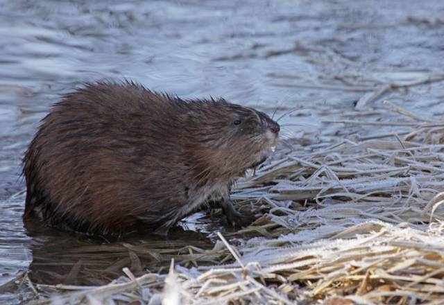
PLEASE NOTE THE PARKING LOT - - WHITEWATER CREEK (Not the Indian Trail lot) This hike will encompass the 48 acre park. A figure 8 Loop will include all Creeks and tributaries, the 3 Shoals up River and down River, the Bamboo Grove and Dog Beach and maybe run into Mr. Chattahoochee!! The North end hike to the Palisades will include a brief outcropping scramble to the top. Once you get to the top you will have afforded views of the 2 shoals - to the West and The Chattahoochee Coffee Company. This hike also includes a brief Bushwhack to the East in order to complete the North Loop. You will have close to around a 1,000 feet of park travel on this hike. We will stay on all proposed blue blazed trails except for the brief Bushwhack. My only concerns for this hike is the rock scramble to the Palisades, the muddy trail and unleashed dogs! I'm requesting sign up attendees with sure footing and adaptabilities off trail. Please make sure you meet me at the WhiteWater Creek location. It will be advantageous to start this hike at 7:30 am. There are no restrooms on the premises. Photo by Chuck R. I will allow 1 experienced leashed at all times trail dog. Please stay in the rear. Personal note... let nature be the sounds.🙏 | |||||||
| |||||||
| How to Get There: | |||||||
| Event Directions: | Please note the physical address and the directions mentioned below are approximate; the best way to get to the parking lot is by using the co- ordinates GPS co-ordinates: 33.983656 N, -84.4272803 W 4059 Whitewater Creek Rd NW, Atlanta, GA 30327 From I -285 East From I-285 West From I-75 North From U.S. 41 (Cobb Highway South) From U.S. 41 (Cobb Highway North) | ||||||
| Notes: | |||||||
|
Bring $5 cash for parking unless you have an annual pass, which you can apply for HERE. Trail Maps - National Park Service http://www.nps.gov/chat/planyourvisit/upload/ TrailMapPalisadesEast.pdf Alltrails, with section mileages if you zoom in.
Will hike in rain! * We encourage all members to follow our Etiquette Guidelines while participating in AOC events. | |||||||
Cancellation/Partial Attendance: Please review the AOC cancellation policy. | |||||||
 Calendar of Events
 Event Places