 Print-Friendly Version Print-Friendly Version
|
|
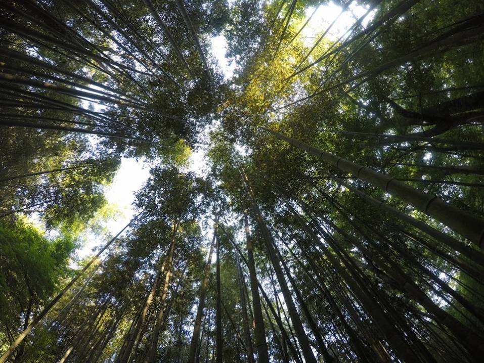
Blood Mountain from Lake Winfield Scott and the Freeman Trail | |||||||
| The Basics: | |||||||
| Event Type: | Hike | ||||||
| Event Location: |
Lake Winfield Scott Recreation Area


| ||||||
| Date(s) & Time: | Fri, Oct 2 2020 9:00 am >> Fri, Oct 2 2020 2:30 pm | ||||||
| Registration Opens: | Mon, Sep 21 2020 3:32 pm | ||||||
| Registration Cut Off: | Fri, Oct 2 2020 6:00 am | ||||||
| Event Duration: | 5 Hours 30 Minutes | ||||||
| Difficulty Rating: | D4: Moderate to Difficult | ||||||
| Distance: | 9.5 Miles | ||||||
| Pace: | Moderate | ||||||
| Trip Leader(s): | DanR Email Trip Leader(s) Email Trip Leader(s)
You must be logged in to get the Trip Leader contact information. | ||||||
| Member Cost: | None | ||||||
| Participant Info: | |||||||
| Who's Invited: | Members Only, 21 And Older Only | ||||||
| Maximum Group Size: | 10 | ||||||
| Minimum Group Size: | 3 | ||||||
| Number Registered So Far: | 9 / 0 (To see who's signed up, log in to the Member Area) | ||||||
| Are Dogs Permitted: | Yes | ||||||
| Itinerary: | |||||||
NO CARPOOL! Meet at the Lake! Departing from Lake Winfield Scott we’ll enjoy a view of rushing Slaughter Creek, ascend about 1.1 mile to Jarrard Gap, then turn left on the Appalachian Trail for about 1.5 miles of gentle ups and downs. We'll take the Freeman Trail for about 1.7 miles, which may include a couple of challenging scrambles since it is not as well maintained as the AT. At Flatrock Gap, turn left and we're back on the AT for the challenging and rocky 1000 ft climb up to the Blood Mountain summit. After a break for snacks and photos we'll continue on the AT then turn right on the Slaughter Creek trail back to the lake, for a total descent of about 3.5 miles. From the lake up to Blood Mountain the elevation gain is almost 2000 ft so you need to be in good shape to keep up with the group. | |||||||
| |||||||
| How to Get There: | |||||||
| Event Directions: | From GA 400, left onto SR 60/19 toward Dahlonega. At the intersection of SR 60 and SR 19, continue straight on SR 60 to Suches then take a right on SR 180. After about 5 miles turn right to the entrance road to the Lake Winfield Scott Recreation Area. As you drive toward the lake, past the campground, the parking lot is located on the left, just before you get to the bridge. The trailhead is located across the bridge and to your right. Parking is $5.00 - bring cash! (Lake Winfield Scott is on the Recreation.gov website, but the "buy a pass" function doesn't show, so I assume parking is still cash only) | ||||||
| Notes: | |||||||
|
* We encourage all members to follow our Etiquette Guidelines while participating in AOC events. | |||||||
Cancellation/Partial Attendance: Please review the AOC cancellation policy. | |||||||
 Calendar of Events
 Event Places