 Print-Friendly Version Print-Friendly Version
|
Ellicott Rock & Spoonauger Falls on the Chattooga - Hike and Swim | |||||||
| The Basics: | |||||||
| Event Type: | Hike | ||||||
| Event Location: |
Chattooga River - Burrell's Ford


| ||||||
| Date(s) & Time: | Sun, May 30 2021 10:30 am >> Sun, May 30 2021 5:00 pm | ||||||
| Registration Opens: | Thu, May 27 2021 6:00 am | ||||||
| Registration Cut Off: | Sat, May 29 2021 9:00 pm | ||||||
| Event Duration: | 6 Hours 30 Minutes | ||||||
| Difficulty Rating: | D3: Moderate | ||||||
| Distance: | 9 Miles | ||||||
| Pace: | Moderate | ||||||
| Trip Leader(s): | Mark Laura V  Email Trip Leader(s) Email Trip Leader(s)
You must be logged in to get the Trip Leader contact information. | ||||||
| Member Cost: | None | ||||||
| Participant Info: | |||||||
| Who's Invited: | Members Only, 21 And Older Only | ||||||
| Maximum Group Size: | 10 | ||||||
| Minimum Group Size: | 3 | ||||||
| Number Registered So Far: | 8 / 0 (To see who's signed up, log in to the Member Area) | ||||||
| Are Dogs Permitted: | Yes | ||||||
| Itinerary: | |||||||
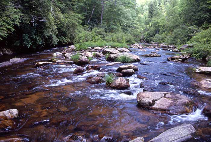
Description: Ellicott Rock Wilderness Area consists of 8,274 acres located in the States of Georgia, North Carolina, and South Carolina. In 1811, surveyor Andrew Ellicott determined the starting point for the North Carolina-Georgia state line and chiseled an inconspicuous mark on a rock on the east bank of the Chattooga River. After continued dispute, two years later, commissioners from SC and NC re-surveyed the area and marked another rock (Commissioners Rock) just 10 - 15 feet away as the border between the three states. This "commissioners rock" is often incorrectly referred to as Ellicott Rock and is the official border between the three states. Note: We will meet right at the Burrell's Ford "Bridge" on the SC side at 10:30. (See directions below for map)
| |||||||
| |||||||
| How to Get There: | |||||||
| Event Directions: | https://goo.gl/ma ps/mRxLsqsXCcq7Qioi8 To make it easy to locate each other, we will meet "right at the bridge" on the SC side (not the CRT trailhead) at 10:30 A.M. There is ample parking along both sides of the road. | ||||||
| Notes: | |||||||
|
* We encourage all members to follow our Etiquette Guidelines while participating in AOC events. | |||||||
Cancellation/Partial Attendance: Please review the AOC cancellation policy. | |||||||
 Calendar of Events
 Event Places