 Print-Friendly Version Print-Friendly Version
|
|
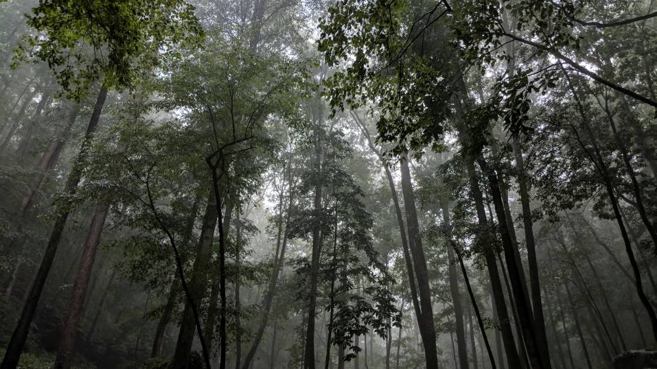
West Rim Trail, Cloudland Canyon | ||||||||||||||||||||||||||||||||||||||||||||||||||||||||||||||||||||||||||||
| The Basics: | ||||||||||||||||||||||||||||||||||||||||||||||||||||||||||||||||||||||||||||
| Event Type: | Explorer | |||||||||||||||||||||||||||||||||||||||||||||||||||||||||||||||||||||||||||
| Event Location: | Cloudland Canyon State Park | |||||||||||||||||||||||||||||||||||||||||||||||||||||||||||||||||||||||||||
| Date(s) & Time: | Sat, Dec 19 2009 8:00 am >> N/A (Carpool Departure: 8:15 am *log in for location*) | |||||||||||||||||||||||||||||||||||||||||||||||||||||||||||||||||||||||||||
| Registration Opens: | Thu, Dec 10 2009 7:00 pm | |||||||||||||||||||||||||||||||||||||||||||||||||||||||||||||||||||||||||||
| Registration Cut Off: | Thu, Dec 17 2009 5:00 pm | |||||||||||||||||||||||||||||||||||||||||||||||||||||||||||||||||||||||||||
| Event Duration: | 10 hours counting drive time. | |||||||||||||||||||||||||||||||||||||||||||||||||||||||||||||||||||||||||||
| Difficulty Rating: | D4: Moderate to Difficult | |||||||||||||||||||||||||||||||||||||||||||||||||||||||||||||||||||||||||||
| Trip Leader(s): | Dirk Kristi  Email Trip Leader(s) Email Trip Leader(s)
You must be logged in to get the Trip Leader contact information. | |||||||||||||||||||||||||||||||||||||||||||||||||||||||||||||||||||||||||||
| Member Cost: | None | |||||||||||||||||||||||||||||||||||||||||||||||||||||||||||||||||||||||||||
| Participant Info: | ||||||||||||||||||||||||||||||||||||||||||||||||||||||||||||||||||||||||||||
| Who's Invited: | Members Only, 21 And Older Only | |||||||||||||||||||||||||||||||||||||||||||||||||||||||||||||||||||||||||||
| Maximum Group Size: | 10 | |||||||||||||||||||||||||||||||||||||||||||||||||||||||||||||||||||||||||||
| Minimum Group Size: | 4 | |||||||||||||||||||||||||||||||||||||||||||||||||||||||||||||||||||||||||||
| Number Registered So Far: | 8 / 0 (To see who's signed up, log in to the Member Area) | |||||||||||||||||||||||||||||||||||||||||||||||||||||||||||||||||||||||||||
| Are Dogs Permitted: | No | |||||||||||||||||||||||||||||||||||||||||||||||||||||||||||||||||||||||||||
| Itinerary: | ||||||||||||||||||||||||||||||||||||||||||||||||||||||||||||||||||||||||||||
| West Rim Loop Trail 4.8-mile loop. Rated moderate. The West Rim Loop Trail is one of the most scenic hiking trails in the Southeast. Beginning at the Daniels Creek Bridge and climbing out of the canyon onto the plateau, the trail provides magnificent views of Trenton, Georgia, neighboring Sand Mountain, and of Cloudland Canyon itself. Cottages and walk-in campsites are accessible via this trail. Passing over varied terrain, most of the hike is moderately difficult, becoming strenuous on several short sections. Will also include the Waterfall trail where the 2 trails meet up. It's less than a mile down & back, but it includes 600 stair steps so this section is a bit strenuous. It has 2 falls of 60 & 90 feet which has shear drop offs to some beautiful pools below. | ||||||||||||||||||||||||||||||||||||||||||||||||||||||||||||||||||||||||||||
| ||||||||||||||||||||||||||||||||||||||||||||||||||||||||||||||||||||||||||||
| How to Get There: | ||||||||||||||||||||||||||||||||||||||||||||||||||||||||||||||||||||||||||||
| Event Directions: |
| |||||||||||||||||||||||||||||||||||||||||||||||||||||||||||||||||||||||||||
| Carpool to Event Distance (round trip): | 195Mile(s) | |||||||||||||||||||||||||||||||||||||||||||||||||||||||||||||||||||||||||||
| Carpool Departure Time: | 8:15 am | |||||||||||||||||||||||||||||||||||||||||||||||||||||||||||||||||||||||||||
| Carpool Location: | Log in for location | |||||||||||||||||||||||||||||||||||||||||||||||||||||||||||||||||||||||||||
| Carpool Directions: | Log in for directions | |||||||||||||||||||||||||||||||||||||||||||||||||||||||||||||||||||||||||||
| Carpool Cost: | Estimated cost per vehicle for this event is $78.00 using a reimbursement rate guideline of $0.400 per mile. The total amount should be divided by the number of people in the vehicle, including the driver. This is a guideline, not a rule, for drivers but the cost should not be higher unless there are extenuating circumstances. | |||||||||||||||||||||||||||||||||||||||||||||||||||||||||||||||||||||||||||
| Notes: | ||||||||||||||||||||||||||||||||||||||||||||||||||||||||||||||||||||||||||||
|
There is a $5 entrance fee per vehicle to enter the park, which we can all split. * We encourage all members to follow our Etiquette Guidelines while participating in AOC events. | ||||||||||||||||||||||||||||||||||||||||||||||||||||||||||||||||||||||||||||
Cancellation/Partial Attendance: Please review the AOC cancellation policy. *Note: If we have a very bad Ice storm | ||||||||||||||||||||||||||||||||||||||||||||||||||||||||||||||||||||||||||||
 Calendar of Events
 Event Places