 Print-Friendly Version Print-Friendly Version
|
|
Amicalola Falls to Springer Mountain | |||||||
| The Basics: | |||||||
| Event Type: | Hike | ||||||
| Event Location: | Amicalola Falls | ||||||
| Date(s) & Time: | Thu, Oct 27 2022 8:00 am >> Thu, Oct 27 2022 3:00 pm (Carpool Departure: 6:45 pm *log in for location*) | ||||||
| Registration Opens: | Fri, Oct 21 2022 6:00 am | ||||||
| Registration Cut Off: | Thu, Oct 27 2022 6:30 am | ||||||
| Event Duration: | 7 Hours | ||||||
| Difficulty Rating: | D5: Difficult | ||||||
| Distance: | 16 Miles | ||||||
| Pace: | Moderate | ||||||
| Trip Leader(s): | DanR Email Trip Leader(s) Email Trip Leader(s)
You must be logged in to get the Trip Leader contact information. | ||||||
| Member Cost: | None | ||||||
| Participant Info: | |||||||
| Who's Invited: | Members Only, 21 And Older Only | ||||||
| Maximum Group Size: | 10 | ||||||
| Minimum Group Size: | 3 | ||||||
| Number Registered So Far: | 4 / 0 (To see who's signed up, log in to the Member Area) | ||||||
| Are Dogs Permitted: | No | ||||||
| Itinerary: | |||||||
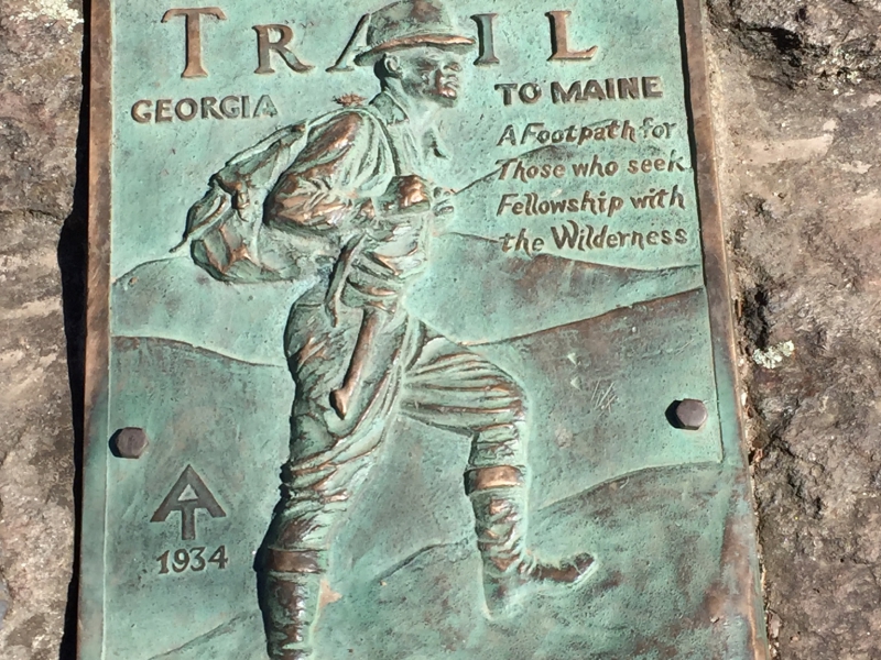
We'll enjoy late fall views from the top of the falls along the AT Approach Trail to Springer Mountain. We ascend from the top of Amicalola Falls for about 4.5 miles, over Frosty Mountain and past the turnoff to the Hike Inn. Continuing another 3.5 miles, down and up through Nimblewill Gap, will gain us the summit and a lunch stop atop Springer Mountain. We'll return the same way, down the Approach Trail to Amicalola Falls. This is a demanding day hike, with about 3500 vertical feet cumulative elevation gain, and we'll move about 2.5 - 2.7 mph. Email the leader if you want to come but don't have recent D5 club experience. | |||||||
| |||||||
| How to Get There: | |||||||
| Event Directions: | DIRECTIONS from GA-400/ I-285 INTERCHANGE in N ATLANTA
(Sandy Springs) to AMICALOLA FALLS STATE PARK (about 60
miles or 90 minutes): GPS and GOOGLE.COM/MAPS USERS may wish to
augment the above directions by entering the Lodge street Address or Lat/Lon
coordinates as your destination: | ||||||
| Carpool to Event Distance (round trip): | 102Mile(s) | ||||||
| Carpool Departure Time: | 6:45 pm | ||||||
| Carpool Location: | Log in for location | ||||||
| Carpool Directions: | Log in for directions | ||||||
| Carpool Cost: | Estimated cost per vehicle for this event is $40.80 using a reimbursement rate guideline of $0.400 per mile. The total amount should be divided by the number of people in the vehicle, including the driver. This is a guideline, not a rule, for drivers but the cost should not be higher unless there are extenuating circumstances. | ||||||
| Notes: | |||||||
|
* We encourage all members to follow our Etiquette Guidelines while participating in AOC events. | |||||||
Cancellation/Partial Attendance: Please review the AOC cancellation policy. | |||||||
 Calendar of Events
 Event Places