 Print-Friendly Version Print-Friendly Version
|
|
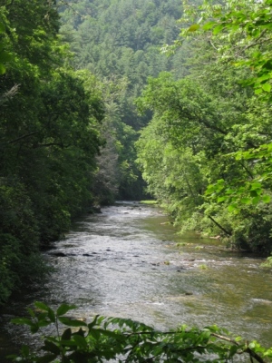
Chattooga River Trail to Ellicott Rock | |||||||
| The Basics: | |||||||
| Event Type: | Hike | ||||||
| Event Location: | Chattooga River Trail | ||||||
| Date(s) & Time: | Sat, May 15 2010 10:00 am >> N/A (Carpool Departure: 7:30 am *log in for location*) | ||||||
| Registration Opens: | Mon, Apr 19 2010 9:00 pm | ||||||
| Registration Cut Off: | Fri, May 14 2010 4:00 pm | ||||||
| Event Duration: | Full Day | ||||||
| Difficulty Rating: | D3: Moderate | ||||||
| Trip Leader(s): | Denise Van Huss Leigh Tolbert Rick Tolbert  Email Trip Leader(s) Email Trip Leader(s)
You must be logged in to get the Trip Leader contact information. | ||||||
| Member Cost: | None | ||||||
| Participant Info: | |||||||
| Who's Invited: | Members Only, 21 And Older Only | ||||||
| Maximum Group Size: | 16 | ||||||
| Minimum Group Size: | 5 | ||||||
| Number Registered So Far: | 13 / 0 (To see who's signed up, log in to the Member Area) | ||||||
| Are Dogs Permitted: | No | ||||||
| Itinerary: | |||||||
We did this in March and had a blast despite being rained on all day. Let's go back and hope for some sunshine! | |||||||
| |||||||
| How to Get There: | |||||||
| Event Directions: | (Burrell's Ford Parking Area) - From US 76/US 441 in Clayton, GA (at Wendy's), take a right onto Rickman Road for 0.5 miles to Warwoman Road. Turn right onto Warwoman Road and head 14 miles to State Route GA 28. Take a right onto GA 28 and follow it for 1.8 miles to U.S. Forest Service Road 646 (which is also known as Burrells Ford Road). Turn left and follow USFS 646 for about 7 miles to the Burrell Ford Parking Area. This road will turn to gravel for a majority of this drive. We will park on the GA side of the river. | ||||||
| Carpool to Event Distance (round trip): | 220Mile(s) | ||||||
| Carpool Departure Time: | 7:30 am | ||||||
| Carpool Location: | Log in for location | ||||||
| Carpool Directions: | Log in for directions | ||||||
| Carpool Cost: | Estimated cost per vehicle for this event is $88.00 using a reimbursement rate guideline of $0.400 per mile. The total amount should be divided by the number of people in the vehicle, including the driver. This is a guideline, not a rule, for drivers but the cost should not be higher unless there are extenuating circumstances. | ||||||
| Notes: | |||||||
|
We prefer for everyone to meet at the carpool and not at the trailhead. We will stop at McDonald's in Clayton to coordinate with anyone who chooses the "Meet at Event" option. * We encourage all members to follow our Etiquette Guidelines while participating in AOC events. | |||||||
Cancellation/Partial Attendance: Please review the AOC cancellation policy. | |||||||
 Calendar of Events
 Event Places