 Print-Friendly Version Print-Friendly Version
|
|
Kennesaw Mountain Mid-Morning Friday Fitness Hike | |||||||
| The Basics: | |||||||
| Event Type: | Hike | ||||||
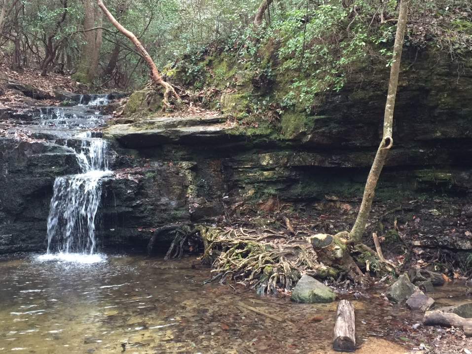
| Event Location: | Kennesaw Mountain National Battlefield Park | ||||||
| Date(s) & Time: | Fri, Apr 16 2010 10:00 am >> N/A | ||||||
| Registration Opens: | Tue, Apr 13 2010 2:00 pm | ||||||
| Registration Cut Off: | Thu, Apr 15 2010 9:00 pm | ||||||
| Event Duration: | Approximately 2.5 hours | ||||||
| Difficulty Rating: | D4: Moderate to Difficult | ||||||
| Trip Leader(s): | Denise Millon Email Trip Leader(s) Email Trip Leader(s)
You must be logged in to get the Trip Leader contact information. | ||||||
| Member Cost: | None | ||||||
| Participant Info: | |||||||
| Who's Invited: | Members Only, 21 And Older Only | ||||||
| Maximum Group Size: | 10 | ||||||
| Minimum Group Size: | 4 | ||||||
| Number Registered So Far: | 5 / 0 (To see who's signed up, log in to the Member Area) | ||||||
| Are Dogs Permitted: | Yes | ||||||
| Itinerary: | |||||||
Ok, guys, I need to get my hiking legs back to start training for Kilimanjaro this summer, so I'm going to do some local fitness hikes to motivate myself. We will start at the visitor's center. Don't forget that Old 41 is still closed and you will need to follow the detour signs to get there! First we will hike the 1.2 miles to the 1808 foot top of Big Kennesaw Mountain which is a climb of about 800 feet. From there we will drop down about 500 feet to the gap between Big Kennesaw and Little Kennesaw Mountain, up and over the hump in the middle which is about a 20 foot climb heading towards Little Kennesaw and about a 50 foot climb heading back, then down to the base of Little Kennesaw. From there it's about a 300 foot climb to the top of Little Kennesaw at 1601 feet. Then we'll head down the other side of Little Kennesaw to Burnt Hickory for a short break. After that we'll head back the same way we came. | |||||||
| |||||||
| How to Get There: | |||||||
| Event Directions: | Directions from the Park website: Car Currently Old Hwy 41 between Ridenour Road and Stilesboro Road is closed due to construction on the CSX bridge. The Old Hwy 41 roadway will be under construction and closed to traffic through the end of May 2010. During this time, you may follow the directions below coming from I-575 and from I-75 but disregard turning onto Old Hwy 41. Instead, proceed down Barrett Parkway to the next light following Old Hwy 41 which is Stilesboro Road and turn left. Follow Stilesboro for approximately 2.5 to 3 miles and the park entrance will be on your right.
From I-75 South From I-575 North From I-575 South | ||||||
| Notes: | |||||||
|
If anyone lives downtown-ish and would like to carpool with the trip leader, you may contact me by email regarding this. * We encourage all members to follow our Etiquette Guidelines while participating in AOC events. | |||||||
Cancellation/Partial Attendance: Please review the AOC cancellation policy. | |||||||
 Calendar of Events
 Event Places