 Print-Friendly Version Print-Friendly Version
|
|
Black Mtn Crest Trail Backpacking | |||||||
| The Basics: | |||||||
| Event Type: | Backpacking | ||||||
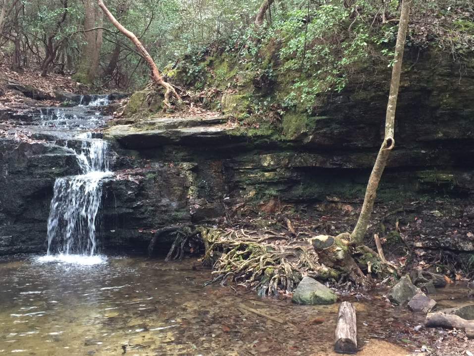
| Event Location: | Pisgah National Forest - Mt Mitchell | ||||||
| Date(s) & Time: | Fri, Nov 19 2010, Sat, Nov 6 2010, Sun, Nov 7 2010 5:30 pm >> N/A (Carpool Departure: 5:30 pm *log in for location*) | ||||||
| Registration Opens: | Wed, Sep 29 2010 8:30 pm | ||||||
| Registration Cut Off: | Fri, Nov 19 2010 11:55 pm | ||||||
| Event Duration: | 2 nights - 2 days | ||||||
| Difficulty Rating: | D5: Difficult | ||||||
| Trip Leader(s): | Rob Garner Email Trip Leader(s) Email Trip Leader(s)
You must be logged in to get the Trip Leader contact information. | ||||||
| Member Cost: | None | ||||||
| Participant Info: | |||||||
| Who's Invited: | Members Only, 21 And Older Only | ||||||
| Maximum Group Size: | 10 | ||||||
| Minimum Group Size: | 4 | ||||||
| Number Registered So Far: | 5 / 0 (To see who's signed up, log in to the Member Area) | ||||||
| Are Dogs Permitted: | No | ||||||
| Itinerary: | |||||||
| We will leave Friday night so we get an early start Saturday morning on the trail. We will carpool up to Mt. Mitchell where we will camp the night before just outside the park gates (Which close at 7pm). The ranger said we can camp here along 128 next to the Blue Ridge Pkwy for free. The next morning we will leave half of the cars inside the park, gates open at 8am, since this is where we finish and then head out to the beginning trailhead. Car Shuttle is 40 minutes 1 way plus driving the cars 4 miles to the Summitt so we should be at the begining trailhead about an hour after starting. This will all depend on how early we get up. The next TWO paraghraphs are cut and pasted from the web This trail is blazed orange, although the blazing get sparse near trail intersections and near the middle of the trail. This trail is not maintained, but is fairly easy to follow. It is renowned as the most rugged trail of the east. There are places where you have to use your hands to climb up certain steep sections, although no ropes are required This trail is both the hardest and the most scenic in the area. The trail follows the Bolens Creek and has many still pools that are notorious for good fishing. Continue on this road and follow the trail that is blazed in orange from the national forest boundary. Follow this trail as it switchbacks up Grassy Knob Ridge and arrive at Celo Knob. This is the first of over a dozen 6000+ feet peaks that will be traversed. Follow the trail and reach a sign indicating White Oak Creek Trail to the left near Horse Rock. This is the old Woody Ridge Trail (#177) that is no longer in use. Follow this trail along the ridge to Gibbs Mountain. Arrive at Colbert Ridge Trail (#178) intersection. Continue south to the former site of Deep Gap Trail shelter. Several campsites are in this area. Be sure to follow the blazes carefully in this area. Continue to Potato Hill, Cattail Peak, and Balsam Cone-all of which flank the Middle Creek Natural Area to the east. Continue to Big Tom Peak and arrive at the Big Tom Gap Trail (#191A) intersection. Continue to Mt. Craig. During this stretch you will see advisory signs to stay on the trail to help preserve natural wildlife and vegetation. From the peak of Mt Craig, you will see the Mt Mitchell tower. Continue for a half mile to the Mt Mitchell parking lot. Note that your high point will be 6684 ft if you continue to the top of Mt. Mitchell. This trail is the most strenuous due to the constant traversing of all the 6000 feet peaks that involve very steep ascents and descents. The next morning we will continue to Mt. Mitchell where the cars are waiting. I can not emphasize enough the Physical Demands of this trip. If you don't KNOW you can do it, YOU CAN'T. Total elevation gain calculated using Forest Service map is 6235 feet from Bowlens Creek to Mt. Mitchell Trip length is 11.8 miles rated DIFFICULT | |||||||
| |||||||
| How to Get There: | |||||||
| Carpool to Event Distance (round trip): | 400Mile(s) | ||||||
| Carpool Departure Time: | 5:30 pm | ||||||
| Carpool Location: | Log in for location | ||||||
| Carpool Directions: | Log in for directions | ||||||
| Carpool Cost: | Estimated cost per vehicle for this event is $160.00 using a reimbursement rate guideline of $0.400 per mile. The total amount should be divided by the number of people in the vehicle, including the driver. This is a guideline, not a rule, for drivers but the cost should not be higher unless there are extenuating circumstances. | ||||||
| Notes: | |||||||
|
* We encourage all members to follow our Etiquette Guidelines while participating in AOC events. | |||||||
Cancellation/Partial Attendance: Please review the AOC cancellation policy. *Note: Cancellations are NOT allowed after Nov 3th unless you replace yourself with a qualified replacement. You have to be dead to not go. | |||||||
 Calendar of Events
 Event Places