 Print-Friendly Version Print-Friendly Version
|
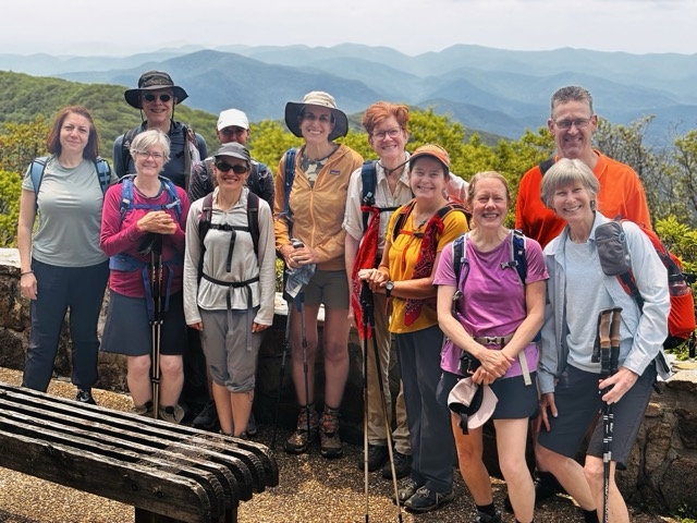
Arkaquah Trail - Double Trouble | |||||||
| The Basics: | |||||||
| Event Type: | Hike | ||||||
| Event Location: |
2252 Trackrock Gap Rd, Blairsville, GA 30512


| ||||||
| Date(s) & Time: | Sat, Dec 6 2025 9:00 am >> Sat, Dec 6 2025 4:30 pm (Carpool Departure: 7:15 am *log in for location*) | ||||||
| Registration Opens: | Sat, Nov 22 2025 8:00 pm | ||||||
| Registration Cut Off: | Fri, Dec 5 2025 12:00 pm | ||||||
| Event Duration: | 7 Hours 30 Minutes | ||||||
| Difficulty Rating: | D6: Advanced | ||||||
| Distance: | 13.5 Miles | ||||||
| Pace: | Moderate | ||||||
| Trip Leader(s): | Deema Linda L  Email Trip Leader(s) Email Trip Leader(s)
You must be logged in to get the Trip Leader contact information. | ||||||
| Member Cost: | None | ||||||
| Participant Info: | |||||||
| Who's Invited: | Members Only, 21 And Older Only | ||||||
| Maximum Group Size: | 10 | ||||||
| Minimum Group Size: | 5 | ||||||
| Number Registered So Far: | 10 / 0 (To see who's signed up, log in to the Member Area) | ||||||
| Are Dogs Permitted: | No | ||||||
| Itinerary: | |||||||
As one of Georgia’s most difficult day hikes, we have decided to make it even more difficult. Contrary to your initial assumption, the title “Double Trouble” does not refer to your trip leaders. The hike is a combination that includes the Arkaquah Trail and the paved summit trail to the observation deck at the top of Brasstown Bald, which we will do twice, hence the Double Trouble. That said, we’ll have a great time and let in the dreamlike views. We will enjoy the trip and won’t rush to the end. We will be maintaining a moderate pace. This hike may not be suitable for those who want to hike at a fast pace. The trail quickly ascends to Buzzard Roost Ridge over the first 1.6 miles, gaining 1370 feet in elevation. We’ll catch some views from near the summit of Chimneytop Mountain before reaching the Brasstown Bald parking lot at 5.3 miles. This is where the Arkaquah Trail ends. Then we’ll follow the paved path to the Summit Trail as it ascends over 400 feet in just over half a mile. We will hike this short and steep paved part TWICE to accumulate a total elevation gain of +4000ft. You must have multiple D5 level hikes with the club to join this one, preferably within the 4 weeks preceding the hike. | |||||||
| |||||||
| How to Get There: | |||||||
| Event Directions: | Directions from Windward to Trailhead: https://maps.app.goo.gl/h4wW1ZtQ2mNSdTgz5
We’ll park at the small parking lot at Track Rock Gap and walk up the road for about 100 feet to reach the trailhead.
| ||||||
| Carpool to Event Distance (round trip): | 146Mile(s) | ||||||
| Carpool Departure Time: | 7:15 am | ||||||
| Carpool Location: | Log in for location | ||||||
| Carpool Directions: | Log in for directions | ||||||
| Carpool Cost: | Estimated cost per vehicle for this event is $58.40 using a reimbursement rate guideline of $0.400 per mile. The total amount should be divided by the number of people in the vehicle, including the driver. This is a guideline, not a rule, for drivers but the cost should not be higher unless there are extenuating circumstances. | ||||||
| Notes: | |||||||
|
* We encourage all members to follow our Etiquette Guidelines while participating in AOC events. | |||||||
Cancellation/Partial Attendance: Please review the AOC cancellation policy. | |||||||
 Calendar of Events
 Event Places