 Print-Friendly Version Print-Friendly Version
|
|
Pinhoti Trail - Section 13 South | |||||||
| The Basics: | |||||||
| Event Type: | Hike | ||||||
| Event Location: |
High Point Trailhead Parking


| ||||||
| Date(s) & Time: | Mon, Dec 15 2025 8:45 am >> Mon, Dec 15 2025 3:30 pm (Carpool Departure: 7:30 am *log in for location*) | ||||||
| Registration Opens: | Tue, Dec 9 2025 7:00 pm | ||||||
| Registration Cut Off: | Sun, Dec 14 2025 8:00 pm | ||||||
| Event Duration: | 6 Hours 45 Minutes | ||||||
| Difficulty Rating: | D5: Difficult (Exploratory) | ||||||
| Distance: | 15 Miles | ||||||
| Pace: | Moderate | ||||||
| Trip Leader(s): | Tim W Email Trip Leader(s) Email Trip Leader(s)
You must be logged in to get the Trip Leader contact information. | ||||||
| Member Cost: | None | ||||||
| Participant Info: | |||||||
| Who's Invited: | Members Only, 21 And Older Only | ||||||
| Maximum Group Size: | 10 | ||||||
| Minimum Group Size: | 2 | ||||||
| Number Registered So Far: | 7 / 0 (To see who's signed up, log in to the Member Area) | ||||||
| Are Dogs Permitted: | Yes | ||||||
|
Note: This is an "EXPLORATORY" trip. This means that there are parts of this trip, or perhaps the whole trip, that is new to your Trip Leader(s). However, they are confident that this will not be an issue. This note is here so that you can make an informed decision. When a Trip Leader isn't personally familiar with a trip, there is an increased chance of things not going as planned and you need to be prepared. The Trip Leader may have additional details in the itinerary. | |||||||
| Itinerary: | |||||||
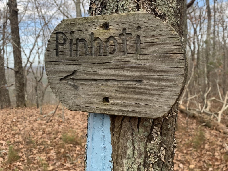
Join me on another Pinhoti hike just over the Alabama border. I haven't done this hilly section or at least I don't recall it. There should be some good views along the trail. Total distance is about 15 miles with 3000 ft elevation gain. Starting from the High Point Trailhead we'll head north on the Pinhoti trail. Along the way we'll encounter a few short steep climbs to test our legs. We should stop for lunch with a view at the turn around before heading back to the cars. This is a mid level D5 event at 15 miles with over 3000 feet of elevation gain. Our average pace should be 2.8-3.0 mph. You'll need recent D5 experience and be comfortable on hikes lasting up to 6 hours with minimum breaks. Otherwise expect an email from me to assess your compatibility with the group. Kudos to Ron for the original post and map. | |||||||
| |||||||
| How to Get There: | |||||||
| Event Directions: | We will meet at the small parking lot at the High Point trailhead. | ||||||
| Carpool to Event Distance (round trip): | 120Mile(s) | ||||||
| Carpool Departure Time: | 7:30 am | ||||||
| Carpool Location: | Log in for location | ||||||
| Carpool Directions: | Log in for directions | ||||||
| Carpool Cost: | Estimated cost per vehicle for this event is $48.00 using a reimbursement rate guideline of $0.400 per mile. The total amount should be divided by the number of people in the vehicle, including the driver. This is a guideline, not a rule, for drivers but the cost should not be higher unless there are extenuating circumstances. | ||||||
| Notes: | |||||||
|
Click here for the AllTrails Map
* We encourage all members to follow our Etiquette Guidelines while participating in AOC events. | |||||||
Cancellation/Partial Attendance: Please review the AOC cancellation policy. | |||||||
|
 Calendar of Events
 Event Places