
 Print-Friendly Version Print-Friendly Version
 Add this event to your calendar (Outlook, iCalendar)
Add REGISTRATION REMINDER to your calendar Add this event to your calendar (Outlook, iCalendar)
Add REGISTRATION REMINDER to your calendar
|
|
The Albert² + Pickens Formula - Nantahala NF | |||||||
| The Basics: | |||||||
| STATUS: |  |
Inactive - Draft Form, Do Not Show on Calendar | |
||||
| Event Type: | | Hike | | ||||
| Event Location: | |
Long Creek Branch Trail


| | ||||
| Date(s) & Time: | | Sat, Aug 29 2026 9:00 am >> Sat, Aug 29 2026 5:00 pm (Carpool Departure: 6:30 am *log in for location*) | | ||||
| Registration Opens: | | Sat, Aug 22 2026 3:00 pm | | ||||
| Registration Cut Off: | | Fri, Aug 28 2026 3:00 pm | | ||||
| Event Duration: | | 8 Hours | | ||||
| Difficulty Rating: | | D5: Difficult | | ||||
| Distance: | | 16 Miles | | ||||
| Pace: | | Moderate | | ||||
| Trip Leader(s): | | Deema Email Trip Leader(s) Email Trip Leader(s)
You must be logged in to get the Trip Leader contact information. | | ||||
| Member Cost: | | None | |||||
| Participant Info: | |||||||
| Who's Invited: | | Members Only, 21 And Older Only | | ||||
| Maximum Group Size: | | 12 | |||||
| Minimum Group Size: | | 4 | |||||
| Number Registered So Far: | | 1 / 0 (To see who's signed up, log in to the Member Area) | |||||
| Are Dogs Permitted: | | No | |||||
| Itinerary: | |||||||
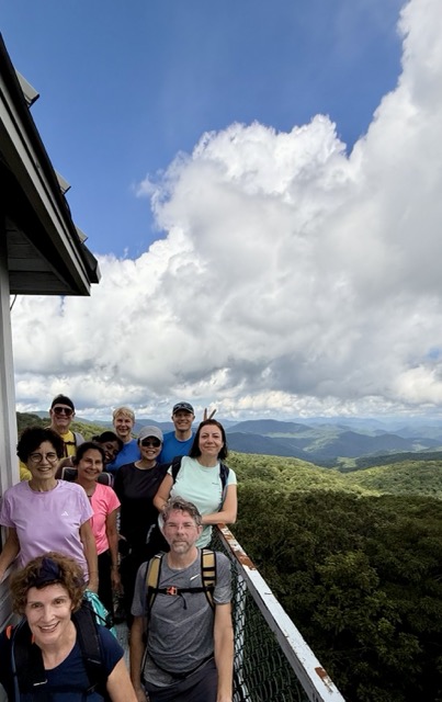
The ultimate day hike in Western North Carolina, combining two trips up the Albert Mountain fire tower with one detour to the jagged cliffs of Pickens Nose, this route yields maximum panoramic views per mile.
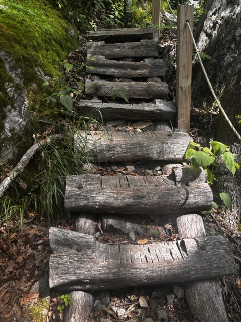
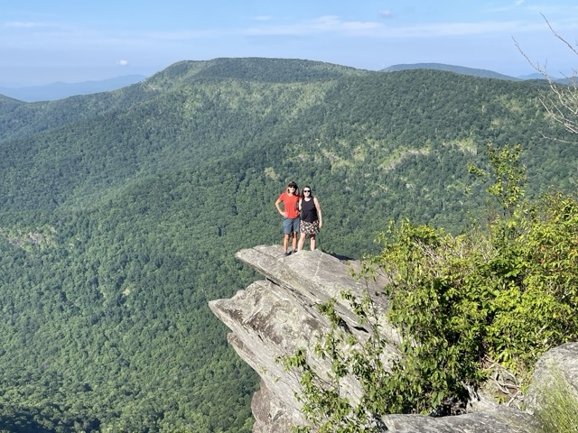
Long Creek Branch Trail We will climb 2300ft on our way up to Albert Mountain then to Pickens Nose, where we will "strike a pose on the nose" then take a relaxed lunch break.
After that, we’ll head back around, which means we’ll climb Albert again the hard way!
HEADS-UP: to get the AT connected to Pickens Nose Trail, we’ll need to hike 0.7 miles each way on a gravel road, which adds up to a total of 1.4 miles. Then, we’ll enjoy a leisurely 5.5-mile descent back to the cars. Long Creek Branch has a few shallow creek crossings where you can have some fun rock hopping. No need to bring water shoes! 16 miles, 3200 ft elevation gain. PACE: While some would still consider it fast-ish”, professional hikers would say it’s a moderate pace.
| |||||||
| |||||||
| How to Get There: | |||||||
| Event Directions: | |
Parking is at the Backcountry kiosk/booth and not campgound parking. The signs are visible. Google map address (yes they did misspell the road name): 1977 Saintnding Indian Rd, Franklin, NC 28734
| | ||||
| Carpool to Event Distance (round trip): | | 240Mile(s) | |||||
| Carpool Departure Time: | | 6:30 am | |||||
| Carpool Location: | | Log in for location | |||||
| Carpool Directions: | | Log in for directions | |||||
| Carpool Cost: | | Estimated cost per vehicle for this event is $96.00 using a reimbursement rate guideline of $0.400 per mile. The total amount should be divided by the number of people in the vehicle, including the driver. This is a guideline, not a rule, for drivers but the cost should not be higher unless there are extenuating circumstances. | |||||
| Notes: | |||||||
|
* We encourage all members to follow our Etiquette Guidelines while participating in AOC events. | |||||||
Cancellation/Partial Attendance: Please review the AOC cancellation policy. | |||||||
 Calendar of Events
 Event Places