Print-Friendly Version Print-Friendly Version
|
Andrews Cove to Tray Mountain | |||||||
| The Basics: | |||||||
| Event Type: | Hike | ||||||
| Event Location: | Chattahoochee National Forest | ||||||
| Date(s) & Time: | Sat, Nov 13 2010 8:45 am >> N/A (Carpool Departure: 9:00 am *log in for location*) | ||||||
| Registration Opens: | Wed, Nov 10 2010 8:30 pm | ||||||
| Registration Cut Off: | Fri, Nov 12 2010 10:00 pm | ||||||
| Event Duration: | per itinerary | ||||||
| Difficulty Rating: | D5: Difficult | ||||||
| Trip Leader(s): | Tony C Warren  Email Trip Leader(s) Email Trip Leader(s)
You must be logged in to get the Trip Leader contact information. | ||||||
| Member Cost: | None | ||||||
| Participant Info: | |||||||
| Who's Invited: | Members Only, 21 And Older Only | ||||||
| Maximum Group Size: | 10 | ||||||
| Minimum Group Size: | 5 | ||||||
| Number Registered So Far: | 9 / 0 (To see who's signed up, log in to the Member Area) | ||||||
| Are Dogs Permitted: | No | ||||||
| Itinerary: | |||||||
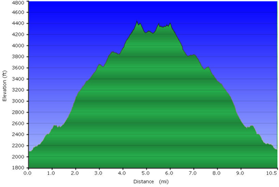
Standing at 4430', Tray Mountain is the fifth tallest in GA (using 300' prominence rule). It is a very popular hiking destination and for good reason...usually a challenging climb, but the effort is rewarded with superb views along the trail and of course at the summit.
| |||||||
| |||||||
| How to Get There: | |||||||
| Carpool to Event Distance (round trip): | 150Mile(s) | ||||||
| Carpool Departure Time: | 9:00 am | ||||||
| Carpool Location: | Log in for location | ||||||
| Carpool Directions: | Log in for directions | ||||||
| Carpool Cost: | Estimated cost per vehicle for this event is $60.00 using a reimbursement rate guideline of $0.400 per mile. The total amount should be divided by the number of people in the vehicle, including the driver. This is a guideline, not a rule, for drivers but the cost should not be higher unless there are extenuating circumstances. | ||||||
| Notes: | |||||||
|
* We encourage all members to follow our Etiquette Guidelines while participating in AOC events. | |||||||
| Cost Includes: | NA | ||||||
Cancellation/Partial Attendance: Please review the AOC cancellation policy. *Note: NA | |||||||
 Calendar of Events
 Event Places