 Print-Friendly Version Print-Friendly Version
|
|
Hiking Beech Creek Trail | |||||
| The Basics: | |||||
| Event Type: | Hike | ||||
| Event Location: | Big Scaly Mountain | ||||
| Date(s) & Time: | Sun, Jun 5 2005 9:00 am >> N/A | ||||
| Registration Opens: | Mon, Jan 1 2007 12:00 am | ||||
| Registration Cut Off: | Fri, Jun 3 2005 11:59 pm | ||||
| Event Duration: | per itinerary | ||||
| Difficulty Rating: | D2: Easy to Moderate | ||||
| Trip Leader(s): | Don Norton (Chicken Feathers) Email Trip Leader(s) Email Trip Leader(s)
You must be logged in to get the Trip Leader contact information. | ||||
| Member Cost: | None | ||||
| Participant Info: | |||||
| Who's Invited: | Members Only, 21 And Older Only | ||||
| Maximum Group Size: | 8 | ||||
| Minimum Group Size: | 2 | ||||
| Number Registered So Far: | 9 / 0 (To see who's signed up, log in to the Member Area) | ||||
| Are Dogs Permitted: | No | ||||
| Itinerary: | |||||
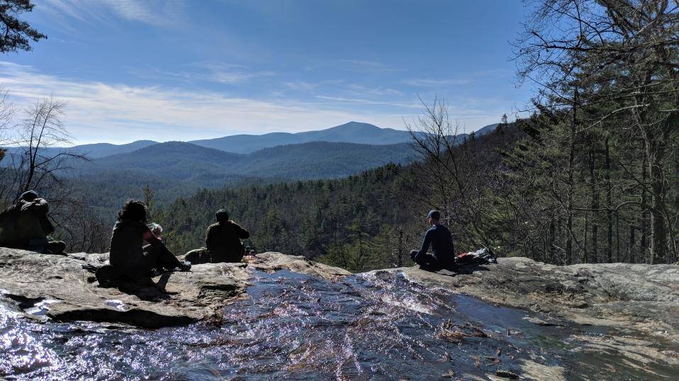
| Moderate to Strenous We will begin our hike on Beech Creek (Big Scaly Mtn.). We will start at elevation 2350 feet and climb to about 4400 feet where we can take a side trail to Chimney Rock ( Rock is 120 feet wide at base and 150 feet high and what a view from the summit). From there we will go back down to the trail and climb about 600 feet in 45 minutes to 1 hour to Case Knife Gap, where we will again take a side trail to Big Scaley Mtn. ( this side trail to summit is only about 1/2 mile). After viewing the surrounding area we will again head back to the main trail and continue for about 2 miles to High Falls (about 100 feet tall). After viewing falls we will continue on trail to an old corundum mine ruins and after crossing several times we will climb mtn. and back to the end of our hike. If we set up shuttle we will ride back to get other cars if not we will walk about 1 mile and cross one stream to our cars. Crossing is very shallow you will probably be able to rock hop across. | |||||
| |||||
| How to Get There: | |||||
| Event Directions: | Tate, GA 9:00 Trail Head at end of Tallulach River Road Travel North up Interstate 85 to 985 toward Clayton. From Clayton travel Hwy 76 West for about 9 miles to Persimmon Road take Persimmon Road to Tallulach River Road turn left travel for about 9 miles thru the city of Tate population 32 to end of road | ||||
| Notes: | |||||
|
Are Dogs Permitted? NO Will this event occur rain or shine? Yes NOTE: Please be considerate of others. If you sign-up and cannot attend, please e-mail the trip leader, so others that may be on a waiting list may attend. E-mail the trip leader to be put on a waiting list if the trip is at the max number of attendees. * We encourage all members to follow our Etiquette Guidelines while participating in AOC events. | |||||
| Cost Includes: | Share gas expense with carpool driver $6.00-$7.00 | ||||
Cancellation/Partial Attendance: Please review the AOC cancellation policy. | |||||
 Calendar of Events
 Event Places