 Print-Friendly Version Print-Friendly Version
|
Blood Mountain Loop Day Hike | |||||||
| The Basics: | |||||||
| Event Type: | Hike | ||||||
| Event Location: | Blood Mountain | ||||||
| Date(s) & Time: | Sun, Feb 13 2011 10:45 am >> N/A (Carpool Departure: 9:00 am *log in for location*) | ||||||
| Registration Opens: | Wed, Feb 9 2011 9:00 pm | ||||||
| Registration Cut Off: | Sat, Feb 12 2011 10:00 pm | ||||||
| Event Duration: | 8 hours | ||||||
| Difficulty Rating: | D4: Moderate to Difficult | ||||||
| Trip Leader(s): | Bob Bunner Email Trip Leader(s) Email Trip Leader(s)
You must be logged in to get the Trip Leader contact information. | ||||||
| Member Cost: | None | ||||||
| Participant Info: | |||||||
| Who's Invited: | Members Only, 21 And Older Only | ||||||
| Maximum Group Size: | 16 | ||||||
| Minimum Group Size: | 6 | ||||||
| Number Registered So Far: | 17 / 0 (To see who's signed up, log in to the Member Area) | ||||||
| Are Dogs Permitted: | Yes | ||||||
| Itinerary: | |||||||
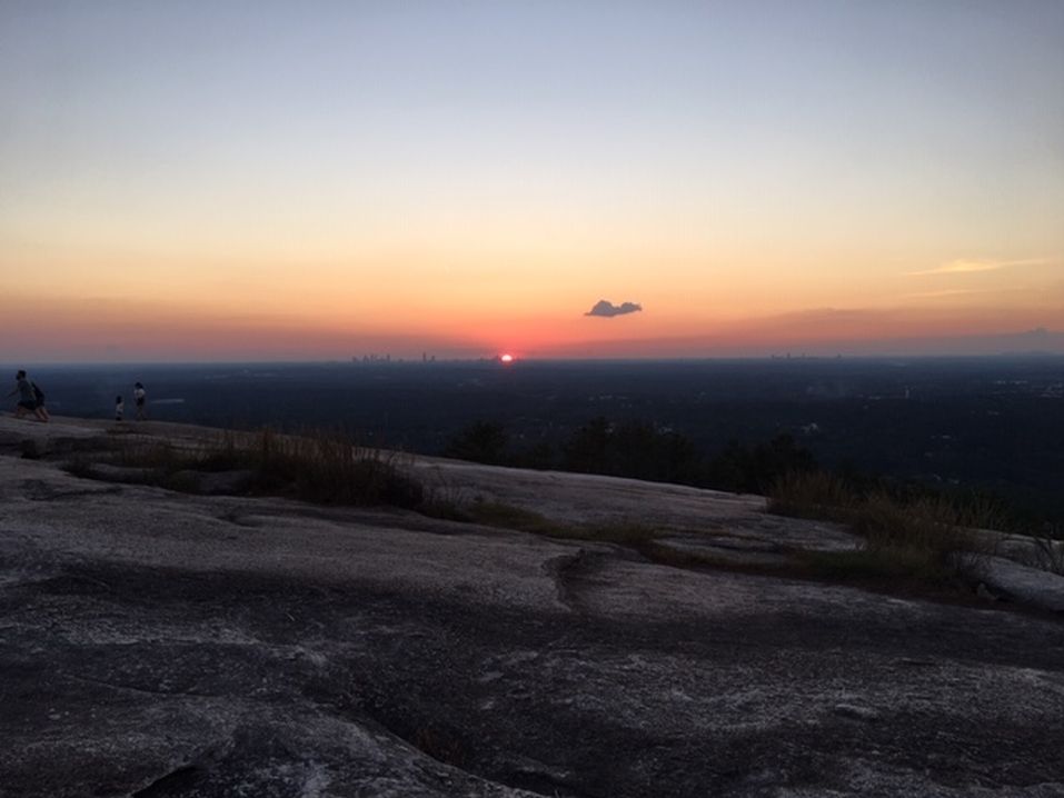
The weather looks very promising for this weekend. Come join us for a Sunday Hike along Slaughter Creek as we make our way to the highest point on the Appalachian trail in Georgia - Blood Mountain. This is a moderately paced hike. Beginning at Lake Winfield Scott, we'll hike up the West face of Blood Mountain along the Slaughter Creek trail. After 3.5 miles, we'll reach the top of Blood Mountain. We'll probably spend about 35-45 minutes at the summit enjoying lunch and the views. Then we'll hike out on the Jarrard Gap trail, which will return us to Lake Winfield Scott. | |||||||
| |||||||
| How to Get There: | |||||||
| Event Directions: | North on GA 400. Take a left onto SR 60/19 toward Dahlonega. At the fork of SR 60 and SR 19, go straight on SR 60 to Suches. Take a right on SR 180. The entrance to the Lake Winfield Scott Recreation Area is on the right, approximately 7-8 miles on after you turn onto SR 180. As you drive toward the lake, past the campground, the parking lot is located on the left, just before you get to the bridge. The trailhead is located across the bridge and to your right. | ||||||
| Carpool to Event Distance (round trip): | 130Mile(s) | ||||||
| Carpool Departure Time: | 9:00 am | ||||||
| Carpool Location: | Log in for location | ||||||
| Carpool Directions: | Log in for directions | ||||||
| Carpool Cost: | Estimated cost per vehicle for this event is $52.00 using a reimbursement rate guideline of $0.400 per mile. The total amount should be divided by the number of people in the vehicle, including the driver. This is a guideline, not a rule, for drivers but the cost should not be higher unless there are extenuating circumstances. | ||||||
| Notes: | |||||||
|
Parking is $5 per day. * We encourage all members to follow our Etiquette Guidelines while participating in AOC events. | |||||||
Cancellation/Partial Attendance: Please review the AOC cancellation policy. | |||||||
 Calendar of Events
 Event Places