 Print-Friendly Version Print-Friendly Version
|
Black Rock Mtn | |||||||
| The Basics: | |||||||
| Event Type: | Hike | ||||||
| Event Location: | Mtn City GA | ||||||
| Date(s) & Time: | Sat, Jan 22 2011 10:30 am >> N/A (Carpool Departure: 8:30 am *log in for location*) | ||||||
| Registration Opens: | Tue, Jan 18 2011 7:00 pm | ||||||
| Registration Cut Off: | Fri, Jan 21 2011 11:55 pm | ||||||
| Event Duration: | all day | ||||||
| Difficulty Rating: | D4: Moderate to Difficult | ||||||
| Trip Leader(s): | Rafiq Email Trip Leader(s) Email Trip Leader(s)
You must be logged in to get the Trip Leader contact information. | ||||||
| Member Cost: | None | ||||||
| Participant Info: | |||||||
| Who's Invited: | Members Only, 21 And Older Only | ||||||
| Maximum Group Size: | 12 | ||||||
| Minimum Group Size: | 2 | ||||||
| Number Registered So Far: | 7 / 0 (To see who's signed up, log in to the Member Area) | ||||||
| Are Dogs Permitted: | No | ||||||
| Itinerary: | |||||||
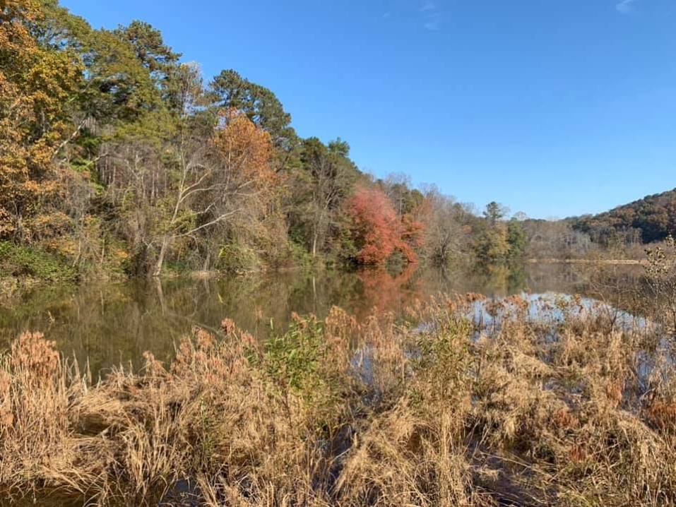
| The trail begins with an easy descent along Black Rock Mountain. At 0.7 miles, the trail reaches the beginning and end of the loop, marked by a double blaze. The sign advises you to take the counterclockwise route to the right. The trail follows an old road uphill until mile 1.1, where it takes a sharp left off of the road. The trail then descends to a paved road at mile 1.4. The trail is identified by orange paint on the road as well as a sign on the other side. After crossing the pavement, the trail descends further to Taylor Creek at mile 2.1. From here the trail begins ascending to a gravel road near Taylor Gap at mile 2.4. The trail then continues uphill for another 0.5 mile to the top of Scruggs Knob. The trail then descends down the other side of the knob to mile 3.2 where it turns left onto an old road. This is Scruggs Gap. The trail follows this road for 0.2 miles and then comes to a sign, marking the trail's turn downhill to another road. Be careful not to miss this turn. The trail then turns right and continues downward on Lookoff Mountain. At mile 5.2 the trail crosses the old road again. At mile 5.4 it crosses Taylor Creek again. At Taylor Creek, the trail then goes uphill to the end of the loop at mile 6.5 Total hikking distance will be around 8 miles, as we will take a short detour to walk around a quiet pond. | |||||||
| |||||||
| How to Get There: | |||||||
| Event Directions: | GPS Coordinates: N 34.917240 | W 083.403730 Located on Black Rock Mountain Parkway, 3 miles north of Clayton off U.S. Hwy. 441. Look for brown directional signs in Mountain City Street Address: 3085 Black Rock Mountain Parkway Mountain City, GA 30562 | ||||||
| Carpool to Event Distance (round trip): | 198Mile(s) | ||||||
| Carpool Departure Time: | 8:30 am | ||||||
| Carpool Location: | Log in for location | ||||||
| Carpool Directions: | Log in for directions | ||||||
| Carpool Cost: | Estimated cost per vehicle for this event is $79.20 using a reimbursement rate guideline of $0.400 per mile. The total amount should be divided by the number of people in the vehicle, including the driver. This is a guideline, not a rule, for drivers but the cost should not be higher unless there are extenuating circumstances. | ||||||
| Notes: | |||||||
|
* We encourage all members to follow our Etiquette Guidelines while participating in AOC events. | |||||||
Cancellation/Partial Attendance: Please review the AOC cancellation policy. | |||||||
 Calendar of Events
 Event Places