 Print-Friendly Version Print-Friendly Version
|
|
Hemp Top Trail To Big Frog Mountain Explorer Hike | |||||||
| The Basics: | |||||||
| Event Type: | Hike | ||||||
| Event Location: | Hemp Top Trail | ||||||
| Date(s) & Time: | Sat, Feb 26 2011 7:30 am >> N/A (Carpool Departure: 7:30 am *log in for location*) | ||||||
| Registration Opens: | Mon, Feb 21 2011 8:00 pm | ||||||
| Registration Cut Off: | Fri, Feb 25 2011 10:00 pm | ||||||
| Event Duration: | Estimate of 8 to 11 hours | ||||||
| Difficulty Rating: | D5: Difficult | ||||||
| Trip Leader(s): | Clay White Email Trip Leader(s) Email Trip Leader(s)
You must be logged in to get the Trip Leader contact information. | ||||||
| Member Cost: | None | ||||||
| Participant Info: | |||||||
| Who's Invited: | Members Only, 21 And Older Only | ||||||
| Maximum Group Size: | 8 | ||||||
| Minimum Group Size: | 2 | ||||||
| Number Registered So Far: | 10 / 0 (To see who's signed up, log in to the Member Area) | ||||||
| Are Dogs Permitted: | No | ||||||
| Itinerary: | |||||||
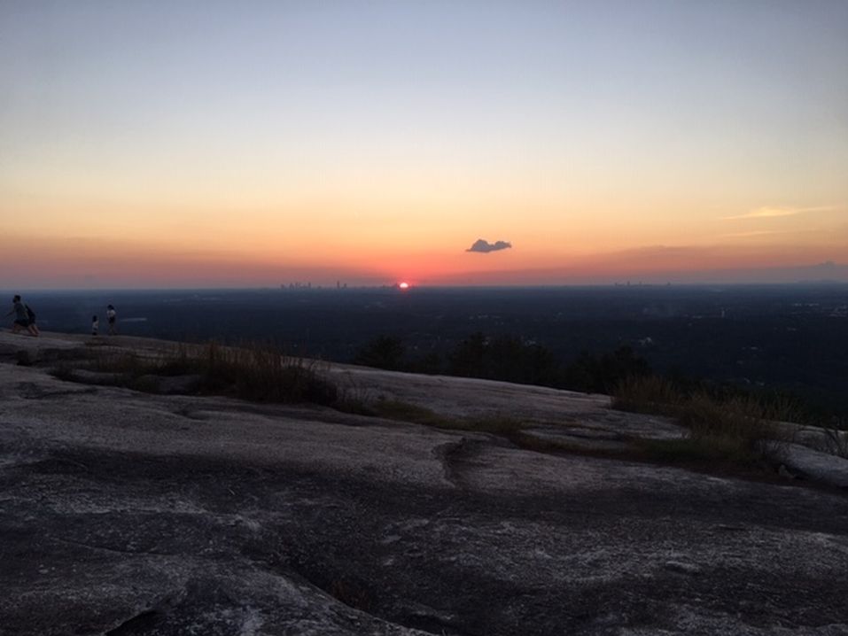
| Hemp Top Trail, located in the beautiful Cohutta Wilderness, begins at Dally Gap, north of Blue Ridge, Georgia. The approach to Hemp Top Mountain follows mostly ridges and upper slopes, providing good winter views of the surrounding mountains. According to Tim Homan's guidebook and other resources, Hemp Top Trail, beyond its junction with Penitentiary Branch Trail, is the least traveled trail in the Cohutta Wilderness. The trail culminates by crossing into Tennessee and climbing to the top of Big Frog Mountain. At 4200 feet, Big Frog Mountain is the highest point in the Big Frog and Cohutta Wildernesses. The trail is 6.2 miles in each direction, totaling 12.4 miles. Most of the trail has relatively easy or moderate grades, with the exception of Hemp Top Mountain and Big Frog Mountain. The climb up Big Frog is described as strenuous, without switchbacks. As noted in the title, this is an exploratory hike, meaning I have never walked the trail. Therefore, while we will have a good guidebook and maps in hand, you should have a sense of adventure for this hike, and be in sufficient physical condition to walk further if we miss a turn somewhere. The event duration is only an estimate, given that this is a new trail for me. | |||||||
| |||||||
| How to Get There: | |||||||
| Event Directions: | Directions will be given out at the carpool. | ||||||
| Carpool to Event Distance (round trip): | 180Mile(s) | ||||||
| Carpool Departure Time: | 7:30 am | ||||||
| Carpool Location: | Log in for location | ||||||
| Carpool Directions: | Log in for directions | ||||||
| Carpool Cost: | Estimated cost per vehicle for this event is $72.00 using a reimbursement rate guideline of $0.400 per mile. The total amount should be divided by the number of people in the vehicle, including the driver. This is a guideline, not a rule, for drivers but the cost should not be higher unless there are extenuating circumstances. | ||||||
| Notes: | |||||||
|
Will this event occur rain or shine? No, not in severe weather * We encourage all members to follow our Etiquette Guidelines while participating in AOC events. | |||||||
| Cost Includes: | Please bring cash to share gas expenses with carpool drivers. | ||||||
Cancellation/Partial Attendance: Please review the AOC cancellation policy. | |||||||
 Calendar of Events
 Event Places