 Print-Friendly Version Print-Friendly Version
|
|
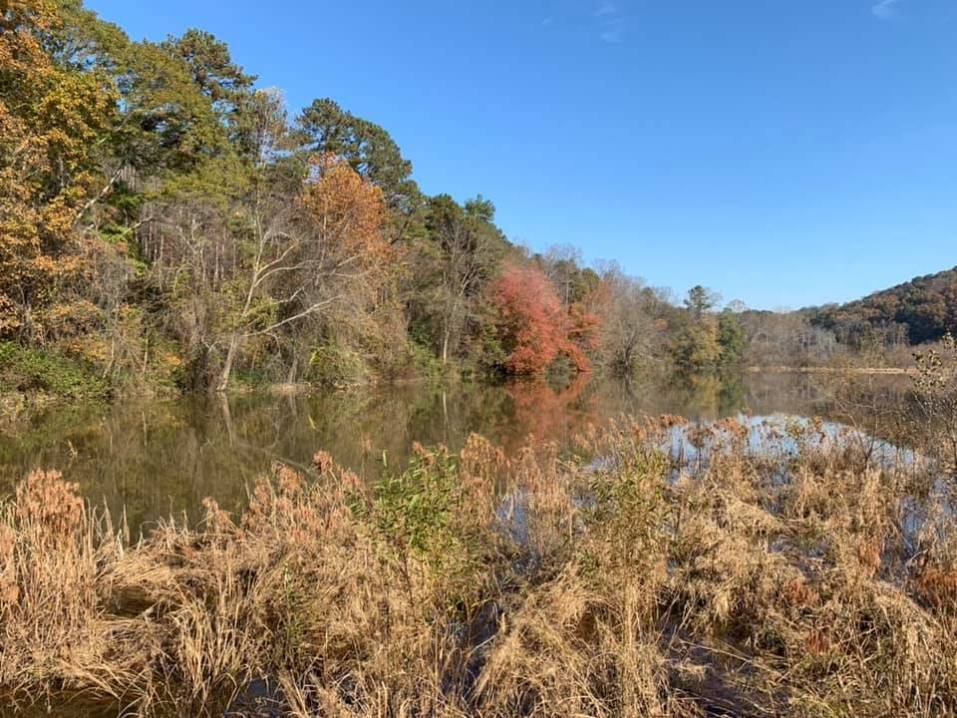
Tray Mountain from Andrew's Cove | |||||||
| The Basics: | |||||||
| Event Type: | Hike | ||||||
| Event Location: | Helen area | ||||||
| Date(s) & Time: | Sat, May 28 2011 7:45 am >> Sat, May 28 2011 7:00 pm (Carpool Departure: 8:00 am *log in for location*) | ||||||
| Registration Opens: | Thu, May 12 2011 11:00 pm | ||||||
| Registration Cut Off: | Fri, May 27 2011 6:00 pm | ||||||
| Event Duration: | 11 Hours 15 Minutes | ||||||
| Difficulty Rating: | D4: Moderate to Difficult | ||||||
| Pace: | Moderate | ||||||
| Trip Leader(s): | Doug L Email Trip Leader(s) Email Trip Leader(s)
You must be logged in to get the Trip Leader contact information. | ||||||
| Member Cost: | None | ||||||
| Participant Info: | |||||||
| Who's Invited: | Members Only, 21 And Older Only | ||||||
| Maximum Group Size: | 10 | ||||||
| Minimum Group Size: | 4 | ||||||
| Number Registered So Far: | 11 / 0 (To see who's signed up, log in to the Member Area) | ||||||
| Are Dogs Permitted: | No | ||||||
| Itinerary: | |||||||
 This hike will start at the Andrew's Cove campground. We will follow the trail to Indian Grave Gap where we will turn right on the Appalachian trail and follow it to Tray Gap and then to the top of Tray Mountain. After reaching the peak we will continue to an overlook on a ridge about .3 miles further down the AT. After having lunch at the overlook we will return the way we came. There are nice views at the top of Tray and the overlook. At a little under 10 miles and with about 2400 feet of elevation gain this hike will be really close to a D5 level of difficulty. It is about 4.5 miles from the trailhead to the peak and most of it is a steady uphill climb. To keep this a D4 hike we will go at a moderate pace and take more breaks on the way up than if this was listed as a D5 hike. Fast hikers can go ahead but we will regroup at the road crossings and peak to avoid getting too strung out. The hike could take 5 to 8 hours depending on the group. The drive is about 1.5 hours each way. NOTE:
| |||||||
| |||||||
| How to Get There: | |||||||
| Event Directions: | Directions to trailhead will be given at carpool (or via email if "meeting at event"). | ||||||
| Carpool to Event Distance (round trip): | 150Mile(s) | ||||||
| Carpool Departure Time: | 8:00 am | ||||||
| Carpool Location: | Log in for location | ||||||
| Carpool Directions: | Log in for directions | ||||||
| Carpool Cost: | Estimated cost per vehicle for this event is $60.00 using a reimbursement rate guideline of $0.400 per mile. The total amount should be divided by the number of people in the vehicle, including the driver. This is a guideline, not a rule, for drivers but the cost should not be higher unless there are extenuating circumstances. | ||||||
| Notes: | |||||||
|
This hike will be cancelled if the chance of thunderstorms is 50% or greater or a steady all day rain is forecast. * We encourage all members to follow our Etiquette Guidelines while participating in AOC events. | |||||||
| Cost Includes: | NA | ||||||
Cancellation/Partial Attendance: Please review the AOC cancellation policy. *Note: NA | |||||||
 Calendar of Events
 Event Places