 Print-Friendly Version Print-Friendly Version
|
|
Can't Cope without Kennesaw -- Friday Mid-Day Hike | |||||||
| The Basics: | |||||||
| Event Type: | Hike | ||||||
| Event Location: |
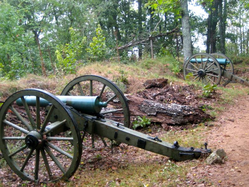
Kennesaw Mountain National Battlefield Park


| ||||||
| Date(s) & Time: | Fri, Nov 18 2011 12:00 pm >> Fri, Nov 18 2011 3:00 pm | ||||||
| Registration Opens: | Mon, Nov 14 2011 10:00 pm | ||||||
| Registration Cut Off: | Fri, Nov 18 2011 10:00 am | ||||||
| Event Duration: | 3 Hours | ||||||
| Difficulty Rating: | D4: Moderate to Difficult | ||||||
| Distance: | 9 Miles | ||||||
| Pace: | Moderate | ||||||
| Trip Leader(s): | Joyce T. Email Trip Leader(s) Email Trip Leader(s)
You must be logged in to get the Trip Leader contact information. | ||||||
| Member Cost: | None | ||||||
| Participant Info: | |||||||
| Who's Invited: | Members Only, 21 And Older Only | ||||||
| Maximum Group Size: | 12 | ||||||
| Minimum Group Size: | 2 | ||||||
| Number Registered So Far: | 8 / 0 (To see who's signed up, log in to the Member Area) | ||||||
| Are Dogs Permitted: | Yes | ||||||
| Itinerary: | |||||||
We can't have a week go by without "THE" mountain! Kennesaw Mt. addicts, here's your fix! We're going to get our fill of the place by hiking up and over Big Kennesaw, Little Kennesaw and Pigeon Hill, crossing Burnt Hickory to take in the East and West Loops to Dallas Highway. Then we'll return on the fire trail, re-cross Burnt Hickory, and go up the steep ascent of Pigeon Hill to the intersection by the wood railing. At that point, the group can split, with some returning to the Visitor's Center via the fire trail around the base of the mountain; others with the need for additional physical excitement can go back up and over Pigeon Hill, Little Kennesaw and Big Kennesaw. The pace will be moderatel, with the distance a definite consideration (9 miles). This is certainly not a beginner's hike, but a chance for those of you who have several D3's under your belts to go for an extra challenge. Please understand that this will still be a strenuous hike, including over 2,000 feet of elevation gain (if you go up and over the mountains twice). The total distance is approximately nine miles. We will take rest breaks if needed, but - - depending on the group - - we may just keep trekking.
| |||||||
| |||||||
| How to Get There: | |||||||
| Event Directions: | From I-75 North | ||||||
| Notes: | |||||||
|
Official Map: http://www.nps.gov/kemo/planyourvisit/loader.cfm?csModule=security/getfile&PageID=116426 Points of Interest Map: http://www.nps.gov/kemo/planyourvisit/loader.cfm?csModule=security/getfile&PageID=302805 Dogs are permitted, but please have them on a leash out of respect for other hikers. The mountain is a popular place, so we may encounter many dogs along the way. There are also deer along the trail who need to be protected. (Park rules require dogs to be on leash.) Full restroom facilities are available in the Visitors' Center. :-) Parking can be very tight. Allow time to park in the auxiliary lot about 1/4 mile down Old 41 Hwy. from the Visitors' Center lot. * We encourage all members to follow our Etiquette Guidelines while participating in AOC events. | |||||||
| Cost Includes: | No cost. | ||||||
Cancellation/Partial Attendance: Please review the AOC cancellation policy. | |||||||
 Calendar of Events
 Event Places