REGISTRATION REQUIRED: Once you've reviewed the event details, and decided you'd like to join us, you
MUST sign up at the
bottom of this page.
Dauset Trails
|
|
The Basics: |
| Event Type: |  | Hike | |
|
Event Location: | |
Dauset Trails Nature Center, 1 hour S of Atlanta
| |
| Date(s) & Time: | | Sat, Mar 24 2012
10:00 am >> Sat, Mar 24 2012 12:00 pm
| |
| Registration Opens:
| |
Thu, Mar 15 2012 8:00 pm
| |
| Registration Cut Off:
| |
Sat, Mar 24 2012 2:00 am
| |
| Event Duration: | | 2 Hours | |
| Difficulty Rating: | | D2: Easy to Moderate | |
| Distance: | | 4 Miles | |
| Pace: | | Leisurely | |
Trip Leader(s):
| | Richard
melissa
 Email Trip Leader(s) Email Trip Leader(s)
You must be logged in to get the Trip Leader contact information.
| |
| Member Cost: | | None |
|
| Participant Info: |
| Who's Invited: | |
Members Only, 21 And Older Only
| |
| Maximum Group Size: | | 18 |
| Minimum Group Size: | | 5 |
| Number Registered So Far: | |
7 / 0 (To see who's signed up, log in to the Member Area)
|
| Are Dogs Permitted: | |
No
|
|
| Itinerary: |
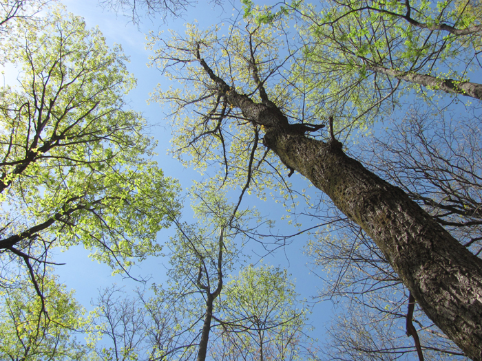
We will hike the beginner's trail plus a few side trails, for a total distance of about 4 miles. For a color topo map which includes the extensive hiking/biking trails network go to: http://dausettrails.com/DT-2002b1.pdf.
Optional: Afrer the hike we will visit the Dauset Trails Nature Center
(www.DausetTrails.com), which feature a visitor center & museum, demonstration farm, and botanical gardens.
|
|
Required Items to Bring:
Water, insect repellent and good hiking shoes. | | Recommended Items to Bring:
Use our Event Checklists to make sure you have everything you need.
| |
|
| How to Get There: |
| Event Directions: | | From Atlanta to trail entrance at Dauset. (Dauset is only about 45 miles (~45 minutes) from the I-75/I-285 interchange on Atlanta's south side).
IMPORTANT: Please IGNORE the DausetTrails.com online directions and instead use these directions which give the precise mileage of each driving leg and explain the special gate and entrance road to our camping area.
Rezero your odometer at each instruction and pay close attention to mileages given and driven.
1) From the southside I-75/ I-285 Interchange (near the Atlanta Airport) take I-75 South about 33 miles toward Macon to Exit #201. (Consider this shortcut if you live on Atlanta’s east side: Take I-675 southward from I-285 Exit #52 to I-75, then it's just 26 miles to Exit #201 via I-75 South.)
2) Exit I-75 at Exit #201 (GA-36 “Jackson/ Barnesville”).
3) Turn Left over the bridge onto Hwy 36 East and go about 3.1 miles (toward Jackson, GA).
4) Turn Right onto High Falls Road and go about 2.5 miles.
5) Turn Left onto Mt Vernon Church Rd (also known as simply Mt. Vernon Rd) and go about 3.0 miles to the Dauset Trails access road described below.
6) The trail area entrance is a gravel road on your Left directly across the paved road from a small "Peters Street" sign. (This special gravel entrance is surrounded by a long bank of pine trees at a rightward curve in the paved road. The paved Dauset Trail Visitor Center entrance and sign are another 0.1 mile further down Mt. Vernon Road.) For a Map and/or custom Directions to this camping area entrance from your specific point of departure, go to Google.com/maps and input this address as your destination:
419 Mt Vernon Church Rd, Flovilla, GA 30216
Although this is a "dummy address" it accurately pinpoints the Nature Center's special trail gravel entrance on Mt. Vernon Church Rd.
7) From Mt. Vernon Road drive up this gravel entrance a few feet. The parking is on your right.
| |
|
| Notes: |
|
|
|
Cancellation/Partial Attendance: Please review the AOC cancellation policy. |
 Print-Friendly Version
 Calendar of Events
 Event Places