 Print-Friendly Version Print-Friendly Version
|
|
Part 2: Tuesday WCT Backpacking Training Hike at Kennesaw Mountain | |||||||
| The Basics: | |||||||
| Event Type: | Hike | ||||||
| Event Location: | Kennesaw, GA 30152 | ||||||
| Date(s) & Time: | Tue, Jul 17 2012 5:00 pm >> Tue, Jul 17 2012 8:00 pm | ||||||
| Registration Opens: | Thu, Jul 12 2012 10:00 am | ||||||
| Registration Cut Off: | Tue, Jul 17 2012 2:00 pm | ||||||
| Event Duration: | Per Itinerary | ||||||
| Difficulty Rating: | D3: Moderate | ||||||
| Distance: | 8.5 Miles | ||||||
| Pace: | Moderate | ||||||
| Trip Leader(s): | Jimmy Email Trip Leader(s) Email Trip Leader(s)
You must be logged in to get the Trip Leader contact information. | ||||||
| Member Cost: | None | ||||||
| Participant Info: | |||||||
| Who's Invited: | Members Only, 21 And Older Only | ||||||
| Maximum Group Size: | 8 | ||||||
| Minimum Group Size: | 2 | ||||||
| Number Registered So Far: | 4 / 0 (To see who's signed up, log in to the Member Area) | ||||||
| Are Dogs Permitted: | Yes | ||||||
| Itinerary: | |||||||
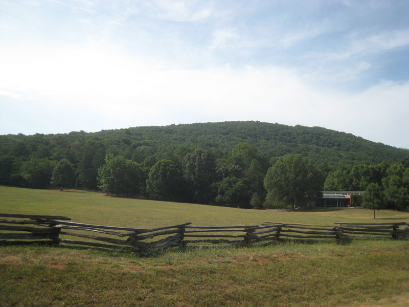
Please join me for a series of four training hike at Kennesaw Mountain in one week. This series of training hike is for an 8-day backpacking trip on the West Coast Trail in Canada later this month. The training hike is around 8.5 miles and I am listing this as a D3 at a moderate pace because I'll be carrying a backpack close to 50 pounds and will NOT be flying up and down KM. :) If you want to hike around Kennesaw at a slower pace than the power hikes or you want to test out your backpacking gear over a series of days or you just want to keep me company as I do this over four days, then this might be the series of events for you! :) From the Visitor Center, we will hike over Kennesaw Mountain, Little Kennesaw Mountain, Pigeon Hill, and continue on the other side of Burnt Hickory Road until we reach Noses Creek. After a brief stop, we will come back to the Visitor Center via the East-West Trail for a total of about 8.5 miles going at a moderate pace. | |||||||
| |||||||
| How to Get There: | |||||||
| Event Directions: | From I-75 North | ||||||
| Notes: | |||||||
|
Some information about the West Coast Trail: http://www.westcoasttrailbc.com/trail_guidebook_map.htm http://en.wikipedia.org/wiki/West_Coast_Trail * We encourage all members to follow our Etiquette Guidelines while participating in AOC events. | |||||||
| Cost Includes: | |||||||
Cancellation/Partial Attendance: Please review the AOC cancellation policy. | |||||||
 Calendar of Events
 Event Places