 Print-Friendly Version Print-Friendly Version
|
|
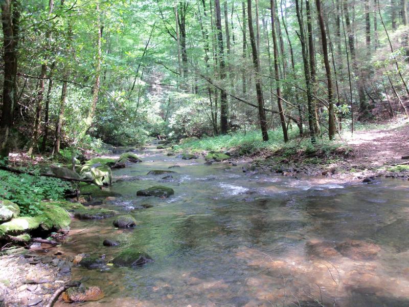
Mountaintown Creek Trail in Cohuttas (via GA Pinhoti Trail) | |||||||
| The Basics: | |||||||
| Event Type: | Hike | ||||||
| Event Location: |
Bear Creek Trail parking lot near Ellijay


| ||||||
| Date(s) & Time: | Sat, Aug 25 2012 10:00 am >> Sat, Aug 25 2012 5:00 pm (Carpool Departure: 8:00 am *log in for location*) | ||||||
| Registration Opens: | Mon, Aug 20 2012 11:02 am | ||||||
| Registration Cut Off: | Fri, Aug 24 2012 11:59 pm | ||||||
| Event Duration: | 7 Hours | ||||||
| Difficulty Rating: | D5: Difficult | ||||||
| Distance: | 14 Miles | ||||||
| Pace: | Moderate | ||||||
| Trip Leader(s): | John Weatherman Tom Jarosz  Email Trip Leader(s) Email Trip Leader(s)
You must be logged in to get the Trip Leader contact information. | ||||||
| Member Cost: | None | ||||||
| Participant Info: | |||||||
| Who's Invited: | Members Only, 21 And Older Only | ||||||
| Maximum Group Size: | 16 | ||||||
| Minimum Group Size: | 4 | ||||||
| Number Registered So Far: | 15 / 0 (To see who's signed up, log in to the Member Area) | ||||||
| Are Dogs Permitted: | Yes | ||||||
| Itinerary: | |||||||
We will have lunch at a camp site near one of the upper stream crossings.
| |||||||
| |||||||
| How to Get There: | |||||||
| Event Directions: | From Park & Ride, exit and go back toward Chastain Rd, turn right on to Chastain, turn left on to I-575 North, it will eventually becomes 515, stay on 515. We will have a bathroom break at Burger King, on the right in Ellijay. (1022 Maddox Dr, East Ellijay 30540) After leaving Burger King, continue North on 515 and take a left at the light just past the Hardees. After Hardees, go across the bridge and turn left at the light. This will take you to downtown Ellijay via GA-52. Follow the sign for Fort Mountain State Park, this will keep you on to GA-52, go for 5 miles and turn right onto Gates Chapel Road and go 4.6 miles. Turn right onto Forest Service Road 241. Take this gravel road for approx 2 miles to trail head. Before you get to the trailhead, the Bear Creek camping area will be a spur to the right - don't take that. | ||||||
| Carpool to Event Distance (round trip): | 138Mile(s) | ||||||
| Carpool Departure Time: | 8:00 am | ||||||
| Carpool Location: | Log in for location | ||||||
| Carpool Directions: | Log in for directions | ||||||
| Carpool Cost: | Estimated cost per vehicle for this event is $55.20 using a reimbursement rate guideline of $0.400 per mile. The total amount should be divided by the number of people in the vehicle, including the driver. This is a guideline, not a rule, for drivers but the cost should not be higher unless there are extenuating circumstances. | ||||||
| Notes: | |||||||
|
* We encourage all members to follow our Etiquette Guidelines while participating in AOC events. | |||||||
| Cost Includes: | Please share gas expenses with carpool drivers. | ||||||
Cancellation/Partial Attendance: Please review the AOC cancellation policy. | |||||||
 Calendar of Events
 Event Places