Chickamauga Creek Trail
|
|
The Basics: |
| Event Type: |  | Hike | |
|
Event Location: | |
LaFayette, GA
| |
| Date(s) & Time: | | Sat, Apr 27 2013
10:30 am >> Sat, Apr 27 2013 3:00 pm (Carpool Departure: 9:00 am *log in for location*)
| |
| Registration Opens:
| |
Mon, Apr 8 2013 9:00 pm
| |
| Registration Cut Off:
| |
Fri, Apr 26 2013 8:00 pm
| |
| Event Duration: | | 4 Hours 30 Minutes | |
| Difficulty Rating: | | D4: Moderate to Difficult | |
| Distance: | | 9 Miles | |
| Pace: | | Moderate | |
Trip Leader(s):
| | Ann
Jon Miner
Ralph Howard
 Email Trip Leader(s) Email Trip Leader(s)
You must be logged in to get the Trip Leader contact information.
| |
| Member Cost: | | None |
|
| Participant Info: |
| Who's Invited: | |
Members Only, 21 And Older Only
| |
| Maximum Group Size: | | 12 |
| Minimum Group Size: | | 3 |
| Number Registered So Far: | |
9 / 0 (To see who's signed up, log in to the Member Area)
|
| Are Dogs Permitted: | |
No
|
|
| Itinerary: |
This loop trail begins and ends at the end of Ponder Creek Road. It follows both Ponder Creek and Chickamauga Creek for about half the trail. At the trail loop a stone wall stands that was used by rebel forces as an entrenchment during the Civil War.
The Chickamauga were a group of Cherokee sometimes called "Lower Towns" or "River Towns." They came to this area after white settlers further east forced them to leave the land they called home. Their violent opposition to further white encroachment made this a dangerous area until the early 1800's, when men like Major Ridge began to change the Cherokee Nation.
Many of the creeks north of the trail flow into East Chickamauga Creek, which forms a major basin in the valley below Taylor and Dicks Ridge, which the footpath follows. The river played a significant role in the history of north Georgia. Completion of a railway bridge across the river, combined with a tunnel built at Tunnel Hill created the first rail connection to the West from the South. The bridge played a significant role in the Great Locomotive Chase. Later the name would be indelibly etched in the American memory when the bloodiest two days in our history were called "Chickamauga
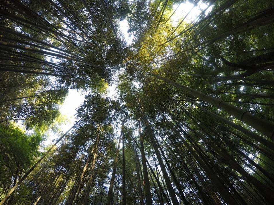
The trail itself is an excellent hike. Turkey, deer and skunk are easily spotted, as well as evidence of other animals and there was abundant growth indicating this would be a good springtime hike. The trail is a loop with two trailheads. The hike is described walking counter-clockwise from Ponder Creek Road.
Starting near the power lines, it climbs to Rocky Ridge. The trail meanders around second-growth hardwood coves reaching the top of the ridge near the power lines. The coves are filled with poplar at lower levels frequently giving way to hickory and oak near the tops. From Rocky Ridge the trail leaves the power lines (don't miss the blazes and continue to follow the power lines -- the power poles are marked at the top in black numbers on a yellow background. After the passing pole 125 turn left onto the trail) and climbs steadily to its highest point, the Tennessee Valley divide on Dicks Ridge. Rivers north of the divide(in this area, west in others) flow to the Mississippi. Rivers south of the divide flow to the Gulf.
Now the trail begins a downward trend to East Chickamauga Creek. This descent, which can be steep, follows switchbacks down the slope of Dicks Ridge. The path then turns south, along an old road that follows the creek upstream, crossing it repeatedly. The trail rises to cross the divide, then descends back to the starting point at Ponder Creek.This loop trail begins and ends at the end of Ponder Creek Road. It follows both Ponder Creek and Chickamauga Creek for about half the trail. At the trail loop a stone wall stands that was used by rebel forces as an entrenchment during the Civil War.
Are you still reading - good - this trail will have excellent flowers! Bring your camera and enjoy the photo opportunities. |
|
Required Items to Bring:
* water
* dry socks and shoes (water crossings, be prepared to slip)
* hiking pole (if you use them, you may want them for the water crossings
* lunch or equivalent | | Recommended Items to Bring:
Use our Event Checklists to make sure you have everything you need.
* camera
* sunglasses
| |
|
| How to Get There: |
| Event Directions: | | Take 75 North to Route 136, regroup and bio break at Flying J, then head east on 136.
Take GA 136 east from LaFayette for 9 miles. Turn left onto Ponder Creek Road for approximately 0.6 mile. Take the right fork onto Forest Service Road 219 to the end of the road. | |
| Carpool to Event Distance (round trip): | | 137Mile(s) |
| Carpool Departure Time: | |
9:00 am
|
| Carpool Location: | |
Log in for location
|
| Carpool Directions: | |
Log in for directions
|
| Carpool Cost: | |
Estimated cost per vehicle for this event is $54.80 using a reimbursement rate guideline of $0.400 per mile. The total amount should be divided by the number of people in the vehicle, including the driver. This is a guideline, not a rule, for drivers but the cost should not be higher unless there are extenuating circumstances.
|
|
| Notes: |
|
|
|
Cancellation/Partial Attendance: Please review the AOC cancellation policy. |
 Print-Friendly Version
 Calendar of Events
 Event Places