 Print-Friendly Version Print-Friendly Version
|
|
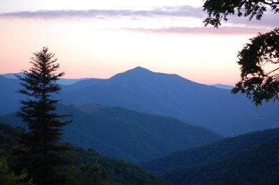
Black Balsam Knob to Cold Mountain | |||||||
| The Basics: | |||||||
| Event Type: | Backpacking | ||||||
| Event Location: |
Shining Rock Wilderness


| ||||||
| Date(s) & Time: | Sat, Jun 15 2013 10:00 am >> Sun, Jun 16 2013 5:00 pm (Carpool Departure: 7:00 am *log in for location*) | ||||||
| Registration Opens: | Sun, May 12 2013 8:00 pm | ||||||
| Registration Cut Off: | Fri, Jun 14 2013 4:00 pm | ||||||
| Event Duration: | 1 Days 7 Hours | ||||||
| Difficulty Rating: | D5: Difficult (Exploratory) | ||||||
| Distance: | 18 Miles | ||||||
| Pace: | Leisurely | ||||||
| Trip Leader(s): | Mike Pawloski Matthew Ballard  Email Trip Leader(s) Email Trip Leader(s)
You must be logged in to get the Trip Leader contact information. | ||||||
| Member Cost: | None | ||||||
| Participant Info: | |||||||
| Who's Invited: | Members Only, 21 And Older Only | ||||||
| Maximum Group Size: | 10 | ||||||
| Minimum Group Size: | 3 | ||||||
| Number Registered So Far: | 9 / 0 (To see who's signed up, log in to the Member Area) | ||||||
| Are Dogs Permitted: | Yes | ||||||
|
Note: This is an "EXPLORATORY" trip. This means that there are parts of this trip, or perhaps the whole trip, that is new to your Trip Leader(s). However, they are confident that this will not be an issue. This note is here so that you can make an informed decision. When a Trip Leader isn't personally familiar with a trip, there is an increased chance of things not going as planned and you need to be prepared. The Trip Leader may have additional details in the itinerary. | |||||||
| Itinerary: | |||||||
Shining Rock Wilderness is one of the few spots in the Southern Appalachians where open terrain and wide vistas are the norm, largely due to a 1925 wildfire that started at Black Balsam Knob and burned 25,000 acres in just 3 days. (There was another fire in 1942.) It is also home to the famous Cold Mountain, where we will setup camp for the night. From the Black Balsam Knob trailhead parking lot, we will take the Art Loeb Spur for .6 miles until we connect with the Art Loeb Trail to begin a 5 mile ridge walk across grassy balds including Black Balsam Knob, Tennent Mountain, and Flower Knob. At the trail junction near Shining Rock Gap, we will continue following the Art Loeb Trail for about 3 miles up Stairs Mountain and then scramble up and down the spine of a ridge called The Narrows until descending into Deep Gap. From Deep Gap, we will climb up the Cold Mountain Trail for 1.4 miles and then setup camp near the summit. The next morning, we will backtrack around 4 miles over the Cold Mountain and Art Loeb Trails until we reach the junction with the Ivestor Gap Trail near Shining Rock Gap. Finally, we will follow the Ivestor Gap Trail for about 4 miles until we reach our cars. This is NOT a beginners backpacking trip, so please be sure you are in good physical condition. However, we will not be hiking at a fast or fitness hike pace. (Thanks to Scott and Laura for the write-up and intinerary.) | |||||||
| |||||||
| How to Get There: | |||||||
| Event Directions: | |||||||
| Carpool to Event Distance (round trip): | 325Mile(s) | ||||||
| Carpool Departure Time: | 7:00 am | ||||||
| Carpool Location: | Log in for location | ||||||
| Carpool Directions: | Log in for directions | ||||||
| Carpool Cost: | Estimated cost per vehicle for this event is $130.00 using a reimbursement rate guideline of $0.400 per mile. The total amount should be divided by the number of people in the vehicle, including the driver. This is a guideline, not a rule, for drivers but the cost should not be higher unless there are extenuating circumstances. | ||||||
| Notes: | |||||||
|
Here's a helpful link for weather on top of Black Balsam Knob you might want to check out: http://www.mountain-forecast.com/peaks/Black-Balsam-Knob/forecasts/1894 (The following has been repurposed from Backpacker Magazine, September, 2009.) The pastoral valleys, rhododendron-filled hillsides, and end-of-the-earth views may make you feel that all is well with the world, but don't be fooled. This range is notorious for thunderstorms, and even snow, any time of year. 1. Towering cumulus 2. Cirrus and cirrocumulus 3. Stratus and nimbostratus Camp Chat See This * We encourage all members to follow our Etiquette Guidelines while participating in AOC events. | |||||||
Cancellation/Partial Attendance: Please review the AOC cancellation policy. | |||||||
 Calendar of Events
 Event Places
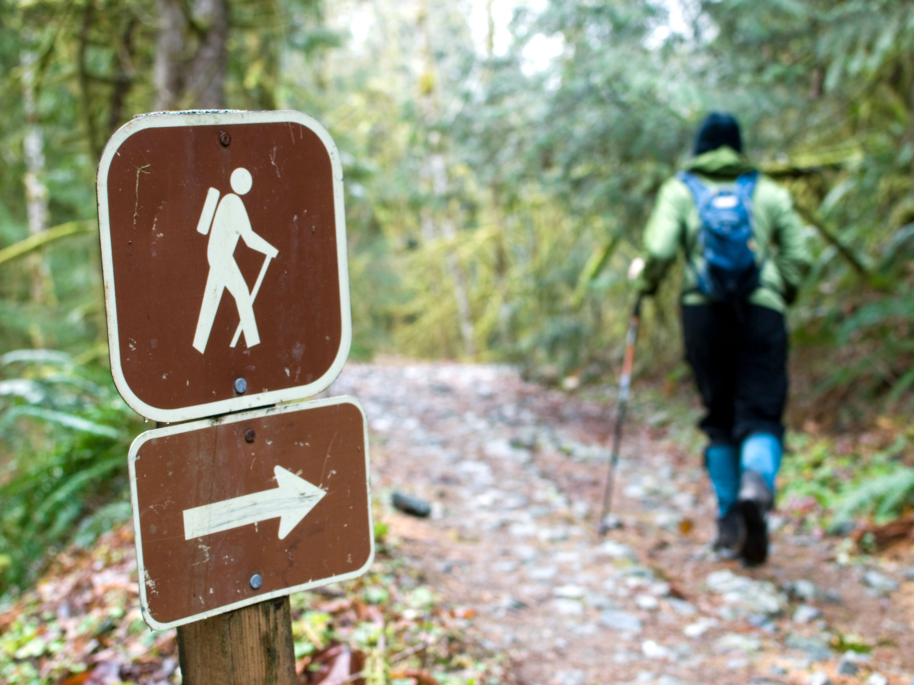 The movement of the clouds foretells the arrival of a storm-bearing frontal system if you know how to read it. Use this guide to help you decide whether to retreat to treeline or amble on.