 Print-Friendly Version Print-Friendly Version
|
|
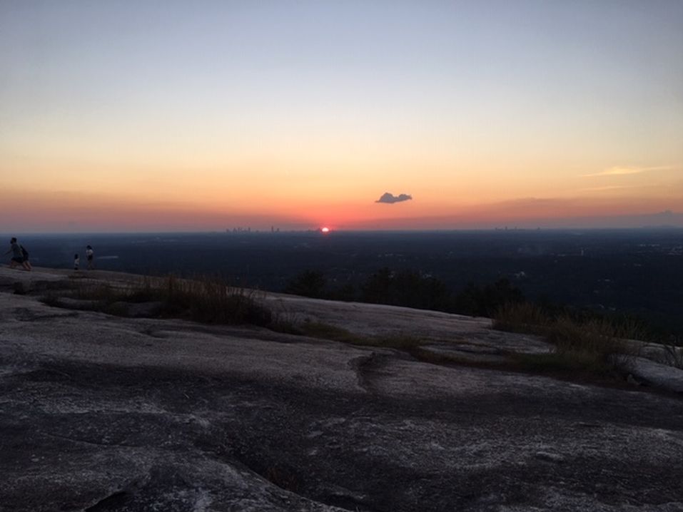
Backpacking on the Skyline Loop | |||||||
| The Basics: | |||||||
| Event Type: | Backpacking | ||||||
| Event Location: |
Adams Gap, Talladega National Forest, Alabama


| ||||||
| Date(s) & Time: | Sat, Jun 1 2013 10:30 am >> Sun, Jun 2 2013 5:00 pm (Carpool Departure: 9:00 am *log in for location*) | ||||||
| Registration Opens: | Thu, May 9 2013 11:00 am | ||||||
| Registration Cut Off: | Fri, May 31 2013 2:00 am | ||||||
| Event Duration: | 1 Days 6 Hours 30 Minutes | ||||||
| Difficulty Rating: | D4: Moderate to Difficult | ||||||
| Distance: | 16.5 Miles | ||||||
| Pace: | Moderate | ||||||
| Trip Leader(s): | Richard Email Trip Leader(s) Email Trip Leader(s)
You must be logged in to get the Trip Leader contact information. | ||||||
| Member Cost: | None | ||||||
| Participant Info: | |||||||
| Who's Invited: | Members Only, 21 And Older Only | ||||||
| Maximum Group Size: | 12 | ||||||
| Minimum Group Size: | 2 | ||||||
| Number Registered So Far: | 13 / 0 (To see who's signed up, log in to the Member Area) | ||||||
| Are Dogs Permitted: | Yes | ||||||
| Itinerary: | |||||||
From Adams Gap we will walk 5.4 miles North on the Pinhoti trail until its intersection with the Odum Scout trail and the Chinnabee Silent trail. Estimated hiking time: 4 hours. Several years ago there used to be a shelter at this spot, and it is a good place to stop and have lunch, since water is available nearby. After lunch we will turn left on the Chinnabee and descend from the ridge down to AL 281, which we will cross at the Turnipseed Camp after a 2 mile walk. We will then proceed another mile or so to the Cheaha Falls shelter, after crossing Cheaha Creek. If the shelter is already occupied we will have to pitch our tente at a nearby location. Estimated hiking time on the Chinnabee: two hours. The next day we will continue on the Chinabee for another two miles until Devil's Den falls. After the falls we will turn left onto the Skyline trail, which after 6.1 miles will take us back to Adams Gap. Estimated hiking time: four hours before lunch and two hours after lunch. Cheaha Falls shelter is located on a hill with a nice view of Cheaha mountain. | |||||||
| |||||||
| How to Get There: | |||||||
| Event Directions: | Drive west on I 20 to Alabama exit 191. Turn left (south) on US 431 for about 3.7 miles. Take a right onto County Road 131 towards AL 281, where it dead ends after curving backwards for about a mile. Turn left on AL 281 and continue for about 19 miles until its end at Adams Gap. | ||||||
| Carpool to Event Distance (round trip): | 180Mile(s) | ||||||
| Carpool Departure Time: | 9:00 am | ||||||
| Carpool Location: | Log in for location | ||||||
| Carpool Directions: | Log in for directions | ||||||
| Carpool Cost: | Estimated cost per vehicle for this event is $72.00 using a reimbursement rate guideline of $0.400 per mile. The total amount should be divided by the number of people in the vehicle, including the driver. This is a guideline, not a rule, for drivers but the cost should not be higher unless there are extenuating circumstances. | ||||||
| Notes: | |||||||
|
Share gas expenses with carpool driver. * We encourage all members to follow our Etiquette Guidelines while participating in AOC events. | |||||||
Cancellation/Partial Attendance: Please review the AOC cancellation policy. | |||||||
 Calendar of Events
 Event Places