 Print-Friendly Version Print-Friendly Version
|
|
Brier Creek Bald | |||||||
| The Basics: | |||||||
| Event Type: | Hike | ||||||
| Event Location: |
Chattahoochee National Forest, near Blairsville, GA


| ||||||
| Date(s) & Time: | Sun, Jul 14 2013 10:00 am >> Sun, Jul 14 2013 4:30 pm (Carpool Departure: 8:15 am *log in for location*) | ||||||
| Registration Opens: | Sun, Jul 7 2013 8:00 pm | ||||||
| Registration Cut Off: | Sat, Jul 13 2013 8:00 pm | ||||||
| Event Duration: | Per Itinerary | ||||||
| Difficulty Rating: | D5: Difficult | ||||||
| Distance: | 11.5 Miles | ||||||
| Pace: | Moderate | ||||||
| Trip Leader(s): | Aaron Chad C  Email Trip Leader(s) Email Trip Leader(s)
You must be logged in to get the Trip Leader contact information. | ||||||
| Member Cost: | None | ||||||
| Participant Info: | |||||||
| Who's Invited: | Members Only, 21 And Older Only | ||||||
| Maximum Group Size: | 12 | ||||||
| Minimum Group Size: | 4 | ||||||
| Number Registered So Far: | 16 / 0 (To see who's signed up, log in to the Member Area) | ||||||
| Are Dogs Permitted: | Yes | ||||||
| Itinerary: | |||||||
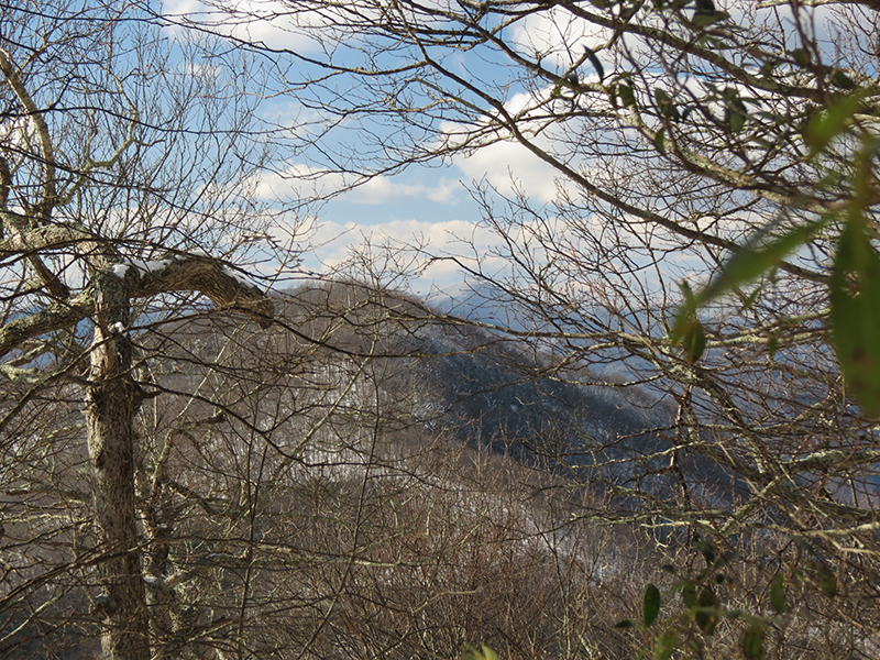
If you've ever hiked to Tray Mtn, you may have noticed a very large mtn looming to thewest through the trees as you make the final ascent up Tray. This is Brier Creek Bald and is the 10th tallest mtn in GA. It is only 1 mile from Tray and certainly worth a visit when in the area...and that is what we plan to do on this event.
(And note that the exact route and date are subject to change, but it should be a great hike.) This will be a strenuous hike with approximately 4000 feet of elevation gain. We will begin by ascending Rocky Mtn (just over 1100 feet elevation gain) and then descend into Inidan Grave Gap and then to Tray Gap. From here we will walk down the road about a quarter mile before taking a rarely used trail to the top of Brier Creek Bald. Actually the trail becomes less and less of one as we get higher and the last few yards are light bushwhacking, but we will make it to the top. After savoring our BCB summit for a few minutes, we will head down and back to Tray Gap and make the final push to the top of Tray Mountain where we will enjoy a well deserved lunch (weather permitting), and then take a short hike to explore the overlook for an excellent view. On the way back we will have one final ascent back up Rocky Mtn before descending back to the cars. If you have not recently completed a D5 event with the AOC I will contact you to see if this event is appropriate for you. The event will go ahead rain or shine but not in severe weather.
| |||||||
| |||||||
| How to Get There: | |||||||
| Event Directions: | North on GA 400 from the park and ride. When GA 400 ends at Chevron station. continue on GA 115. Go 4.8 miles where GA 115 meets GA 52. Turn right. Continue on GA 115 until Cleveland GA. At traffic circle in Cleveland go north on US 129. | ||||||
| Carpool to Event Distance (round trip): | 140Mile(s) | ||||||
| Carpool Departure Time: | 8:15 am | ||||||
| Carpool Location: | Log in for location | ||||||
| Carpool Directions: | Log in for directions | ||||||
| Carpool Cost: | Estimated cost per vehicle for this event is $56.00 using a reimbursement rate guideline of $0.400 per mile. The total amount should be divided by the number of people in the vehicle, including the driver. This is a guideline, not a rule, for drivers but the cost should not be higher unless there are extenuating circumstances. | ||||||
| Notes: | |||||||
|
* We encourage all members to follow our Etiquette Guidelines while participating in AOC events. | |||||||
Cancellation/Partial Attendance: Please review the AOC cancellation policy. | |||||||
 Calendar of Events
 Event Places