 Print-Friendly Version Print-Friendly Version
|
|
State Highpoints - Mt Mitchell, NC | |||||||
| The Basics: | |||||||
| Event Type: | Hike | ||||||
| Event Location: |
Mt Mitchell State Park


| ||||||
| Date(s) & Time: | Sat, Oct 26 2013 4:00 am >> Sat, Oct 26 2013 11:59 pm (Carpool Departure: 8:00 am *log in for location*) | ||||||
| Registration Opens: | Sun, Sep 1 2013 8:00 pm | ||||||
| Registration Cut Off: | Mon, Oct 21 2013 8:00 pm | ||||||
| Event Duration: | 19 Hours 59 Minutes | ||||||
| Difficulty Rating: | D6: Advanced (Exploratory) | ||||||
| Distance: | 20 Miles | ||||||
| Pace: | Fast | ||||||
| Trip Leader(s): | Stefan Email Trip Leader(s) Email Trip Leader(s)
You must be logged in to get the Trip Leader contact information. | ||||||
| Member Cost: | None | ||||||
| Participant Info: | |||||||
| Who's Invited: | Members Only, 21 And Older Only | ||||||
| Maximum Group Size: | 12 | ||||||
| Minimum Group Size: | 4 | ||||||
| Number Registered So Far: | 12 / 0 (To see who's signed up, log in to the Member Area) | ||||||
| Are Dogs Permitted: | No | ||||||
|
Note: This is an "EXPLORATORY" trip. This means that there are parts of this trip, or perhaps the whole trip, that is new to your Trip Leader(s). However, they are confident that this will not be an issue. This note is here so that you can make an informed decision. When a Trip Leader isn't personally familiar with a trip, there is an increased chance of things not going as planned and you need to be prepared. The Trip Leader may have additional details in the itinerary. | |||||||
| Itinerary: | |||||||
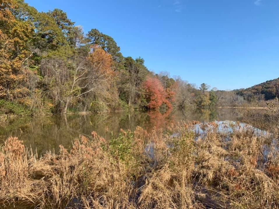
The quest continues... another month, another state, another high point. It is time to tackle the State Highpoint of North Carolina - Mt. Mitchell. At 6684 ft, Mitchell is not only the state highpoint but also the highest peak in the US east of the Mississippi River. Best part - Why do only one 6000 ft peak if you have another five 6000+ ft summits within reach?!? We will start at the Black Mtn. Campground (2680 ft) and follow the 5.6 mile Mount Mitchell Trail (USFS #190) to reach the 6684' summit of Mitchell. After taking the obligatory summit picture(s) and a short snack/drink, we turn left for a short detour southward on the Old Mitchell Trail to Mount Hallback (6300 ft). After looping back to Mitchell, we will continue northward on the Black Mountain Crest Trail (USFS #179). We will pass Mount Craig (6647 ft), Big Tom (6580 ft), Balsam Cone (6596 ft), and Cattail Peak (6584 ft - you noticed, we kept the little one until the end!) to Deep Gap, the follow the Colbert Ridge Trail (USFS #178) down to Colbert Creek Rd from where we take gravel roads back to the campground.
Note: This hike is ~20 (twenty) miles, and it has a lot of elevation gain. We will not be rushing through this but please don't sign up for it unless you know you can complete a long hard hike at a reasonable pace. The tripleader will reserve the right to remove folks from the sign-up list that lack the necessary hiking experience.
IMPORTANT: This is a long hike with an early carpool departure time (the Saturday carpool meets at the Indian Trail P&R at 4 AM). If you would like to avoid getting out of bed at 3 AM, I suggest that we meet on Friday afternoon for the drive up to Black Mtn. Campground (around 1 PM at Indian Trail P&R). The plan is to camp there for one or two nights (no reservation required. Campground is first come, first serve!) (see Black Mtn. Campground). The trip leader will be staying at the campground (there can be eight people/two cars per site and there are bathrooms and hot showers at the campground - let me know if you would like to share a spot). If you choose to drive on Saturday morning, please make sure that you are ready to hike at the campground parking lot no later than 8 AM. We will start the hike at 8 AM! The estimated hiking time will be 8 to 10 hours, so we should be back at the Campground before darkness. However, this is an exploratory hike and it might be worth carrying a headlamp. After the hike, some folks might choose to spend another night at Black Mtn. campground. Alternatively, we can head back to ATL.
| |||||||
| |||||||
| How to Get There: | |||||||
| Event Directions: | Get on I-85 North and follow I-985 towards Gainesville/Clayton. Continue until Franklin NC where you take US23N/64E. After ~20 miles, continue on US23N/US74E until you reach I-40. Drive eastwards on I-40 and take exit 72 to US70 towards Old Fort/Mountain Gateway Museum (~10 miles), then turn left (north) onto NC-80 for another 14 miles. The Black Mtn Campground is located off South Toe River Rd. | ||||||
| Carpool to Event Distance (round trip): | 225Mile(s) | ||||||
| Carpool Departure Time: | 8:00 am | ||||||
| Carpool Location: | Log in for location | ||||||
| Carpool Directions: | Log in for directions | ||||||
| Carpool Cost: | Estimated cost per vehicle for this event is $90.00 using a reimbursement rate guideline of $0.400 per mile. The total amount should be divided by the number of people in the vehicle, including the driver. This is a guideline, not a rule, for drivers but the cost should not be higher unless there are extenuating circumstances. | ||||||
| Notes: | |||||||
|
* We encourage all members to follow our Etiquette Guidelines while participating in AOC events. | |||||||
Cancellation/Partial Attendance: Please review the AOC cancellation policy. | |||||||
 Calendar of Events
 Event Places