 Print-Friendly Version Print-Friendly Version
|
|
Lake Winfield Scott to Blood Mountain | |||||||
| The Basics: | |||||||
| Event Type: | Hike | ||||||
| Event Location: |
near Suches, GA


| ||||||
| Date(s) & Time: | Sat, Jul 6 2013 8:30 am >> Sat, Jul 6 2013 4:30 pm (Carpool Departure: 7:00 am *log in for location*) | ||||||
| Registration Opens: | Sun, Jun 30 2013 8:00 pm | ||||||
| Registration Cut Off: | Fri, Jul 5 2013 9:00 pm | ||||||
| Event Duration: | 8 Hours | ||||||
| Difficulty Rating: | D4: Moderate to Difficult | ||||||
| Distance: | 10 Miles | ||||||
| Pace: | Moderate | ||||||
| Trip Leader(s): | Chad C John Stirman  Email Trip Leader(s) Email Trip Leader(s)
You must be logged in to get the Trip Leader contact information. | ||||||
| Member Cost: | None | ||||||
| Participant Info: | |||||||
| Who's Invited: | Members Only, 21 And Older Only | ||||||
| Maximum Group Size: | 12 | ||||||
| Minimum Group Size: | 4 | ||||||
| Number Registered So Far: | 11 / 0 (To see who's signed up, log in to the Member Area) | ||||||
| Are Dogs Permitted: | Yes | ||||||
| Itinerary: | |||||||
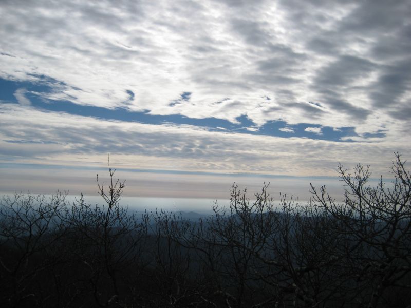
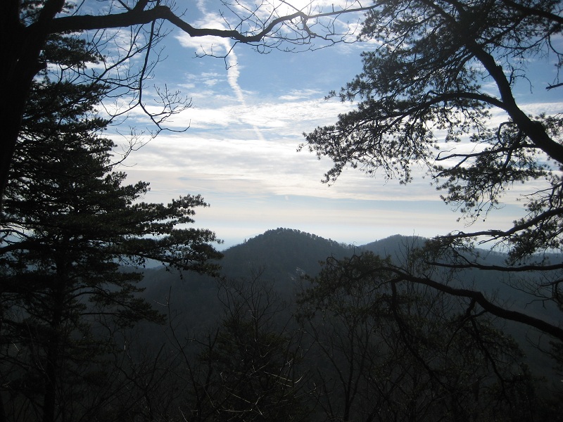
Jarrard Gap Trail, Appalachian Trail, Freeman Gap Trail and Slaughter Gap Trail will be our pathway from Lake Winfield Scott to Blood Mountain for a wonderful summer view of the North Georgia Mountains. Lake Winfield Scott was completed in 1942 by the Civilian Conservation Corps. The lake and all of it’s buildings, roads and structures are the work of the Corps and remains intact today. We will begin our hike at on the Jarrard Gap Trail for approximately 1.2 miles, then take the AT 2 miles to the Freeman Gap Trail, a rocky trail with great view of the mountains. We’ll then take the AT to the summit of Blood Mountain. At the top, we’ll enjoy lunch/snack while taking in the view from the top of Blood Mountain. Our descent will be down the other side of Blood 2 miles to the Slaughter Gap Trail (2.7 miles). Overall around 10 miles with some strenuous climbing at a Moderate pace. We stop at most all of the turns/crossroads to keep the group together and for water breaks AND PHOTO OPS (John!!!) Overall time should be approximately 4.5/5 hours of hiking. There is $5 parking at Lake Winfield Scott, so please have cash. | |||||||
| |||||||
| How to Get There: | |||||||
| Event Directions: | Take GA 400 North to its end (Home Depot, Waffle House). At Traffic Light take the left on US 19 towards Dahlonega. Take the US 19 Bypass right at the bottom of the hill coming into Dahlonega. Continue on US 19 until you reach GA60 and take a left (towards Suches). After about 7 miles you will take the right onto GA 180. Lake Winfield Scott will be in approx 5 miles. Pay parking Fee and park near the lake. | ||||||
| Carpool to Event Distance (round trip): | 135Mile(s) | ||||||
| Carpool Departure Time: | 7:00 am | ||||||
| Carpool Location: | Log in for location | ||||||
| Carpool Directions: | Log in for directions | ||||||
| Carpool Cost: | Estimated cost per vehicle for this event is $54.00 using a reimbursement rate guideline of $0.400 per mile. The total amount should be divided by the number of people in the vehicle, including the driver. This is a guideline, not a rule, for drivers but the cost should not be higher unless there are extenuating circumstances. | ||||||
| Notes: | |||||||
|
* We encourage all members to follow our Etiquette Guidelines while participating in AOC events. | |||||||
Cancellation/Partial Attendance: Please review the AOC cancellation policy. | |||||||
 Calendar of Events
 Event Places