 Print-Friendly Version Print-Friendly Version
|
|
Springer Mountain Loop - Short and Sweet | |||||||
| The Basics: | |||||||
| Event Type: | Hike | ||||||
| Event Location: |
Chattahoochee National Forest


| ||||||
| Date(s) & Time: | Sat, Jan 31 2015 10:00 am >> Sat, Jan 31 2015 3:00 pm (Carpool Departure: 8:30 am *log in for location*) | ||||||
| Registration Opens: | Thu, Jan 22 2015 8:00 pm | ||||||
| Registration Cut Off: | Fri, Jan 30 2015 5:00 pm | ||||||
| Event Duration: | 5 Hours | ||||||
| Difficulty Rating: | D3: Moderate | ||||||
| Distance: | 4.75 Miles | ||||||
| Pace: | Leisurely | ||||||
| Trip Leader(s): | John L Lauren  Email Trip Leader(s) Email Trip Leader(s)
You must be logged in to get the Trip Leader contact information. | ||||||
| Member Cost: | None | ||||||
| Participant Info: | |||||||
| Who's Invited: | Members Only, 21 And Older Only | ||||||
| Maximum Group Size: | 16 | ||||||
| Minimum Group Size: | 4 | ||||||
| Number Registered So Far: | 16 / 0 (To see who's signed up, log in to the Member Area) | ||||||
| Are Dogs Permitted: | Yes | ||||||
| Itinerary: | |||||||
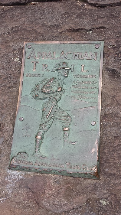
** Note ** Date has been revised to Saturday January 31st ** Want to see Springer Mountain and do a nice little loop in the process? But don't feel like doing 16 miles from Amicalola? Join me on a relaxing "light recovery hike". We will drive to the Springer Mtn Trailhead parking lot where families and loved ones typically meet or drop off anyone doing AT thru hikes. From there, we will make the gradual 0.9 miles ascension to Springer Mountain. After admiring the view, we will turn around, but head back via the Benton Mackaye Trail. A very pretty overlook awaits us for lunch about 2 miles from Springer Mountain. After we rest and enjoy our snacks, we will continue onward via the Benton Mackaye Trail. We will cross a few pretty streams surrounded by rhododendrons. There are some rolling hills along this hike. With the amount of leaves on the ground, be sure to wear shoes with good traction. Newcomers are welcome. I intend to take this day nice and easy for a change. The rocky terrain and the rolling elevation changes (just over 1000 feet) puts this on the very low-end of a D3 hike, even though the distance is just under 5 miles. There are a total of 4 steady climbs and 3 stream crossings, which do require some mild balancing skills. | |||||||
| |||||||
| How to Get There: | |||||||
| Event Directions: | ** THIS DRIVE INVOLVES DRIVING ON FOREST ROADS. YOUR CAR WILL GET SANDY AND DIRTY ** From the Park & Ride we will go north on Georgia 400 to GA 136. Turn left onto GA-136 W and go 11.9 mi | ||||||
| Carpool to Event Distance (round trip): | 122Mile(s) | ||||||
| Carpool Departure Time: | 8:30 am | ||||||
| Carpool Location: | Log in for location | ||||||
| Carpool Directions: | Log in for directions | ||||||
| Carpool Cost: | Estimated cost per vehicle for this event is $48.80 using a reimbursement rate guideline of $0.400 per mile. The total amount should be divided by the number of people in the vehicle, including the driver. This is a guideline, not a rule, for drivers but the cost should not be higher unless there are extenuating circumstances. | ||||||
| Notes: | |||||||
|
* We encourage all members to follow our Etiquette Guidelines while participating in AOC events. | |||||||
Cancellation/Partial Attendance: Please review the AOC cancellation policy. | |||||||
 Calendar of Events
 Event Places