Sat, Aug 22 2015 - Cheaha State Park - 14 Miles of Awesome Trails (View Original Event Details)
| Trip Leader(s): |  |
Jared S, John Stirman
|
| Participants: | | John Stirman, Jared S, Ken, Emily, Chuck R, Huiling, Celia Deleon-Suarez, Smitha, Sunae, Gordon Stephenson |
| 
Click for Album |
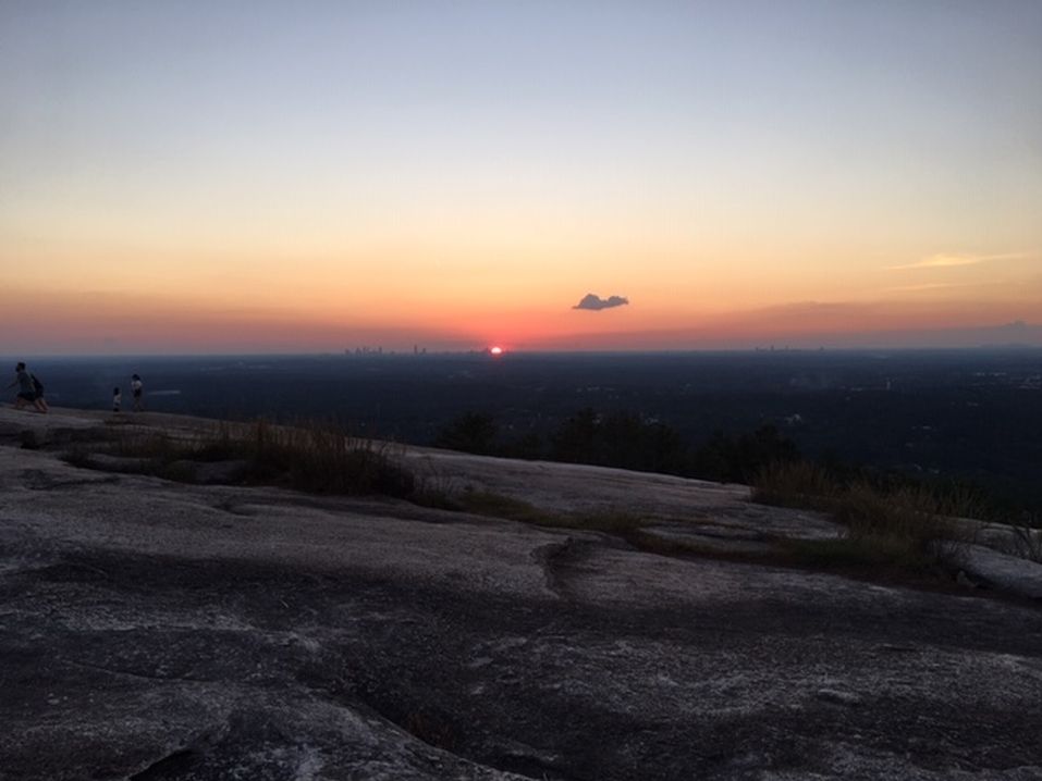
Write Up:Despite some rain in the forecast, our group of 10 hikers headed west to enjoy a great day of hiking in Alabama. The highest point in Alabama is Cheaha Mountain however we enjoyed other areas of Cheaha State Park and the Cheaha Wilderness Area. From the Cheaha trailhead, we headed south on the Cave Creek Trail. We saw many interesting mushrooms as well as a nice vista looking east. The Cave Creek Trail hugs the east side of the ridgeline and is relatively flat with a couple of easy creek crossings and a short climb up to Parker High Point at 2232 ft. After roughly 5.5 miles we reached the southern most portion of our hike. It was about this time we started to hear thunder off in the distance. We used the Nubbin Creek Trail to cross the ridge to catch the Pinhoti trail. The Pinhoti trail would take us back north to the trailhead. Given the imminent rain, we decided to skip the side trail to the Turnipseed camp ground. Heading north on the Pinhoti trail, Jared spotted a Timber Rattlesnake a little too late and nearly stepped on it. Luckily the snake (but not Jared) remained relaxed and sauntered off into the woods with a peep from its rattle. The Pinhoti trail has several vistas along the way with the best being McDill Point. The view west was fantastic except for the rain that we could see rolling in. Also near McDill Point is the wreckage of a 1972 airplane crash. The group did catch some rain during the hike from McDill Point to Hernandez Peak, our high point of the hike. We accidentally followed the wrong trail from Hernandez Peak for a couple minutes but got back on track and finished out the hike without trouble. Dry clothes never felt so good. After returning to the carpool location, 5 of us headed to Evan's BBQ for a big meal.
GPS reports just over 12 miles and 2000 ft of elevation.
 Calendar of Events
 Event Places