Sat, Jun 15 2013 - Black Balsam Knob to Cold Mountain (View Original Event Details)
| Trip Leader(s): |  |
Mike Pawloski, Matthew Ballard
|
| Participants: | | Myra Kincaid, Mike Pawloski, Greg Pries, Katie Morris, Matthew Ballard, john everly, Pavan, Armin, Scott Bennett |
| 
Click for Album |
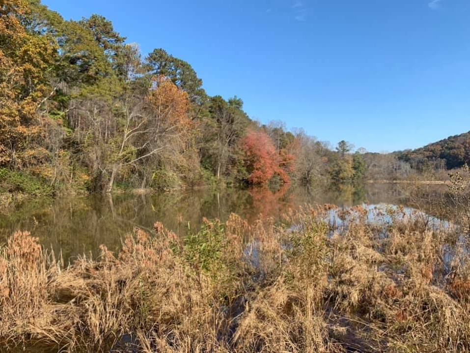
Write Up:On Saturday, June 15, 2013, nine members of the Atlanta Outdoor Club (AOC) travelled to the Shining Rock Wilderness area near Waynesville in western NC. Our planned event was an overnight backpacking trip to Cold Mountain (yes, that Cold Mountain). Team members included Myra, Katie, Matt, Greg, Scott, John, Pawan, Armin, and me. Interestingly, no one had ever made the hike to Cold Mountain. This is rather unusual for an AOC event, where no one has been to the final destination. If you’re familiar with the term “a Chamber of Commerce day” then you’ll understand how the weather was as we pulled out of ATL. It couldn’t have been better. The whole group was excited, and probably none of us more so than Tucker, John’s Border Collie, and Cedar, my Lab. We took a rather back-country, circuitous route and got to enjoy some beautiful scenery. When we arrived at the Black Balsam Knob trailhead parking lot it was, as expected, busy. The combination of Father’s Day weekend plus the great weather made being outside a great way to spend time together with family and friends. A short jaunt along the Art Loeb Spur Trail brings you to the Art Loeb Trail proper then Black Balsam Knob and shortly thereafter Tennent Mountain. The trails are easy and being void of trees the views are spectacular. Several members of our team commented that it reminded them of hiking over in Europe, and for those of us who have yet to make it there, it is how we envision it. Think of the scene from “The Sound of Music” where Julie Andrews is singing and dancing on the mountainside. If you’re a little younger and possibly a little more hip, recall a similar scene in “European Vacation” where Clark Griswald is twirling and chortling on a hillside in a similar fashion. After a short break at Flower Gap we came to the Shining Rock Wilderness. Here, we stayed on the Art Loeb Trail and after some distance stopped and topped off our water supplies. As happens, larger groups tend to separate with faster hikers moving ahead and slower hikers keeping their own pace. Fortunately we had walkie-talkies so the front and rear hikers could maintain contact. I’ve become a big fan of these little communicators, especially with larger groups that get spread out. Team members in front were able to take a break on Shining Rock itself. It’s named “Shining Rock” because it is actually a white quartz outcropping near the crest of the Shining Rock Mountain. Continuing on, the trail becomes increasingly challenging, especially around Stairs Mountain (elev. 5764) with plenty of up and down. Passing through Deep Gap Brings you to the final climb up to Cold Mountain. Here, Greg and I were resupplying water and were joined by Co-Leader Matt and Armin. The final push was through some dense brush. We passed a few campsites but no one large, open area, as expected. The few spots we did pass were occupied. The four of us found a great overlook (well, Myra wasn’t buying how great it was) and spent a few minutes there. Pawan made it up and actually found the geomarker! With no spots available on the mountain, we radioed back to John and asked him to meet us at Deep Gap, where we would spend the night. We descended and arrived at Deep Gap to find a troop of boy scouts setting up camp. They had been out for three days. Camping near scouts is always fun. These guys and their troop leaders were heading to the nearby Daniel Boone Scout Camp. The scouts had set-up an arrangement of stacked hammocks in the trees that was, well, interesting to say the least. One of my favorite times on any trip is when the group gets together to cook dinner, share food, and enjoy each other’s company. We had an especially enjoyable evening of fellowship and camaraderie. We hiked 9.5 miles, which isn’t necessarily a lot of miles for some hard-core AOC mules, but they were certainly tough miles and the group was tired from a long, adventurous day. The next morning we were greeted by cool temperatures and warm sunshine, a great breakfast combo. After some coffee and a lite bite to eat, we packed up and headed out. We backtracked about 4 miles along the Art Loeb Trails until we reached a junction with another trail, the Ivestor Gap Trail near Shining Rock Gap. This is a relatively flat trail (but rocky) and we made great time. Matt and Greg were able to find a geocache along the way. (Geocaching is an outdoor recreational activity, in which participants use a Global Positioning System (GPS) receiver or mobile device and other navigational techniques to hide and seek containers, called "geocaches" or "caches", anywhere in the world. A typical cache is a small waterproof container containing a logbook where the geocacher enters the date they found it and signs it with their established code name. After signing into the log, the cache must be placed back exactly where the person found it.) Once back at the lot, we shed our packs, changed, and made our way back to ATL. (With a lunch stop at The Spotted Pig Bar-B-Que in Fair Play, SC!) A hearty thank you to everyone for a wonderful trip and a great time.! I look forward to our next event together…
 Calendar of Events
 Event Places